Trails and Viewpoints in Co. Cork
16 places
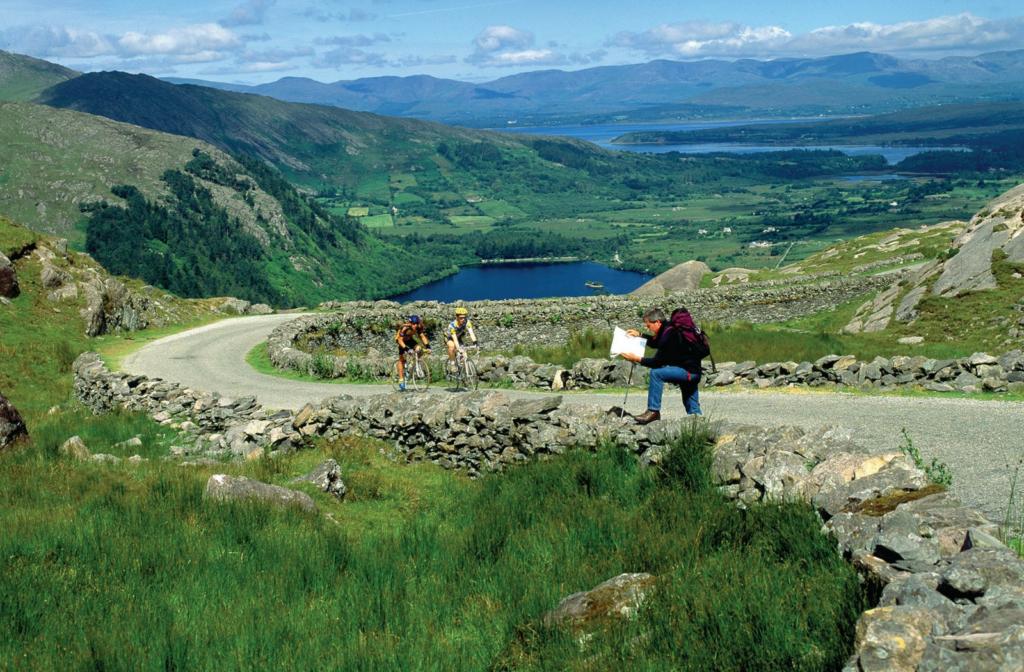
1.Beara way
a strenuous 200km waymarked coastal loop
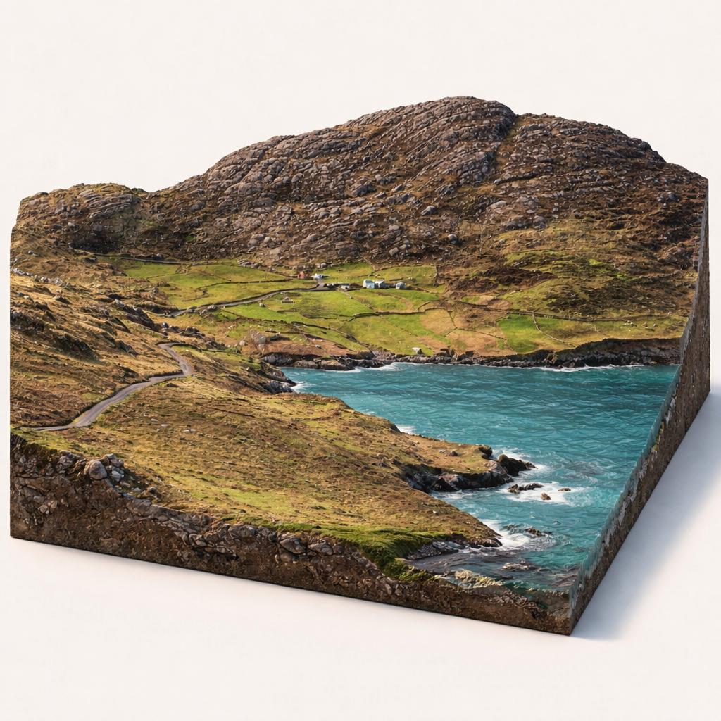
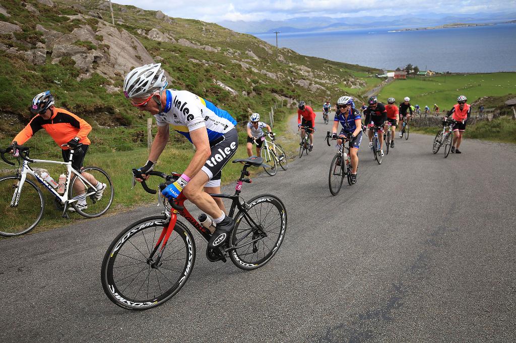
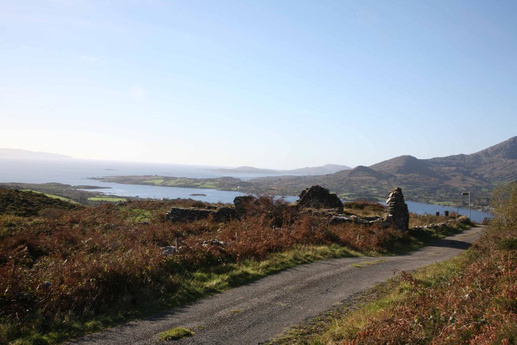
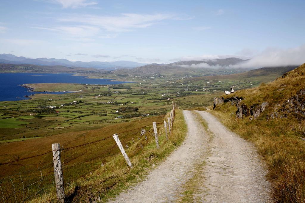
The Beara Way is a waymarked long-distance trail that loops the wild Beara Peninsula, linking rugged Caha and Miskish mountain passes with Atlantic villages and a cable-car crossing to Dursey Island.
- Highlights
- 220km waymarked circuit of the Beara Peninsula
- Start and finish at Glengarriff
- Ireland's only cable car, out to Dursey Island
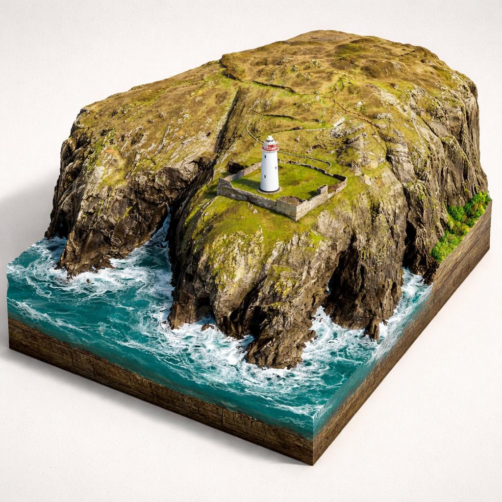
2.Ardnakinna Lighthouse(Teach Solais Ardnakinna)
an island lighthouse reached only by ferry
A white lighthouse on the wild western tip of Bere Island, reached only by ferry and a rugged coastal loop trail, with sweeping views to the Sheep's Head and Mizen peninsulas.
- Highlights
- White tower lit on 23 November 1965, flashing every 10 seconds
- 11 km purple-arrow loop walk from the West End ferry pier
- 360 degree views over Bantry Bay, the Beara and Sheep's Head peninsulas
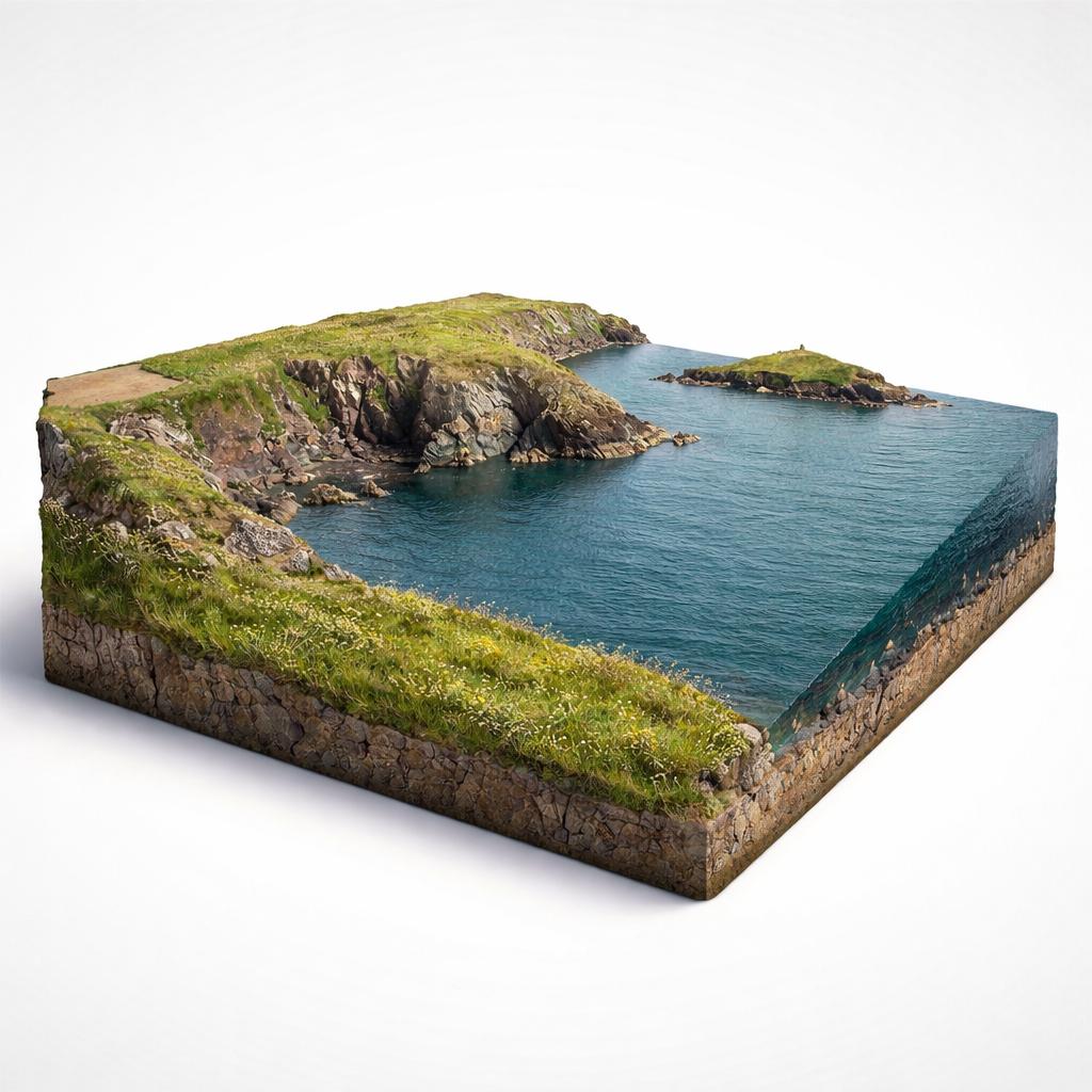
3.Capel Way Coastal Trail
Two coastal cliff loops past a Napoleonic signal tower
Two waymarked cliff loops around the tip of a quiet East Cork peninsula, where seabird cliffs, a Napoleonic signal tower and views to Capel Island pack into a couple of hours' walking.
- Highlights
- Two waymarked loops (2.5 km and 6 km) from one trailhead
- Napoleonic-era signal tower and a WWII lookout post on the route
- Seabird cliffs; national nature reserve around Knockadoon Head and Capel Island
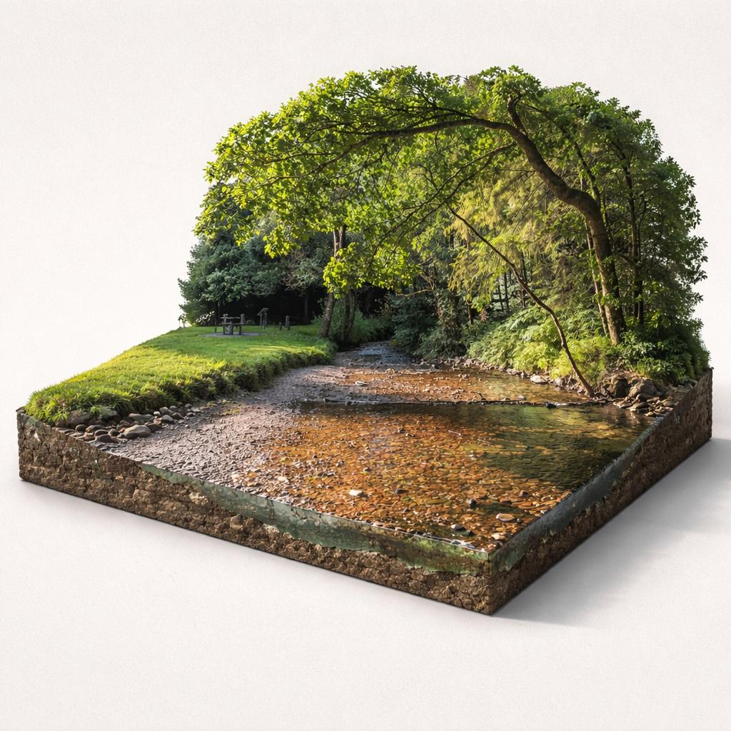
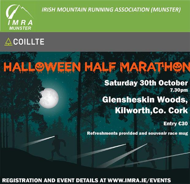
4.Glensheskin Woods
Woodland trails and a hidden stone spring
A Coillte-managed broadleaf wood just outside Kilworth, threaded by the little Douglas River and by a cold stone spring well hidden a few steps off the walking path.
- Highlights
- Coillte forest walk 1.5 km north-east of Kilworth
- Cold stone spring well beside the path
- The little Douglas River runs through the wood
- Facilities
- Wheelchair access
5.Mizen Head Bridge(Droichead Cheann Mizen)
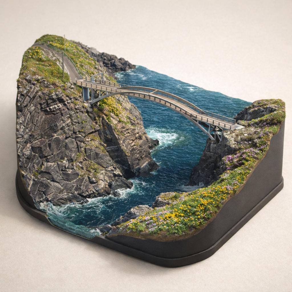
A footbridge 150ft above the Atlantic swell
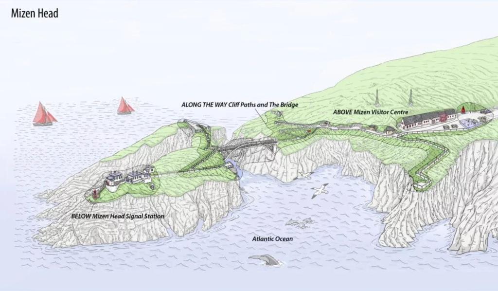
Mizen Head is Ireland's most south-westerly point, where an award-winning footbridge arcs 150 feet above the Atlantic to reach a historic signal station on Cloghane Island.
- Highlights
- Ireland's most south-westerly point on the Wild Atlantic Way
- Award-winning 2011 footbridge over the Atlantic
- 45.7m (150ft) high crossing to Cloghane Island
- Facilities
- Good for kids · Restrooms · Wheelchair access
6.Sheep's Head Walk - Tooreen Turning Point
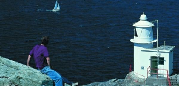
Lighthouse walk from the road's western end
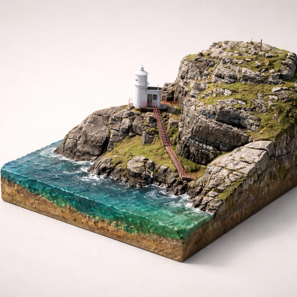
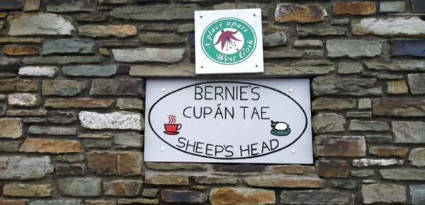
The end of the road on the Sheep's Head peninsula, where the tarmac stops, the Wild Atlantic Way run out, and a small car park, toilets and a seasonal cafe mark the start of the walk to the lighthouse at the very tip of the headland.
- Highlights
- Car park, toilets and a seasonal cafe at the road's end
- 3.8 km Lighthouse Loop, strenuous, about 2 hrs
- Steps down to the lighthouse at the peninsula's tip
7.Youghal Eco Boardwalk
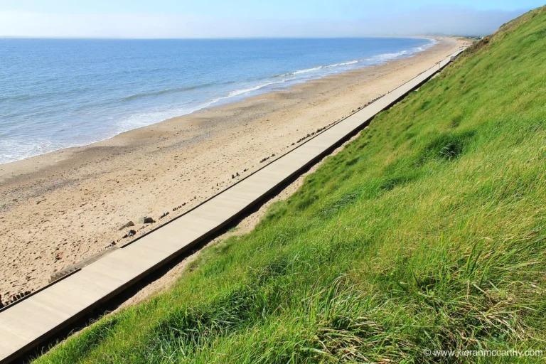
the longest seafront boardwalk in the country
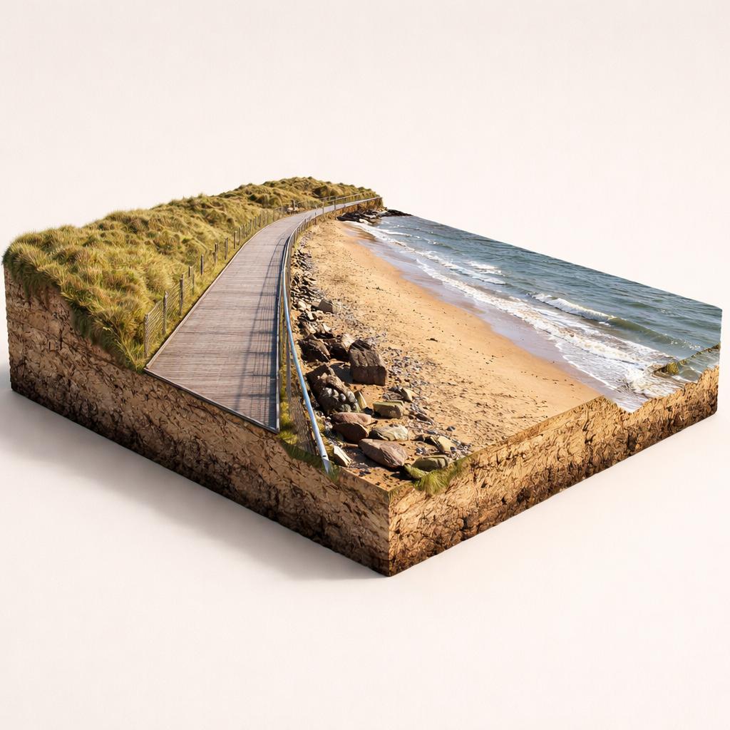
A level timber path on the seaward side of Ballyvergan Marsh, the Youghal Eco-Boardwalk is billed as Ireland's longest seafront boardwalk, linking the town's Blue Flag beaches with open sea views.
- Highlights
- Ireland's longest seafront boardwalk
- 1.48 km from Claycastle to Redbarn (1.9 km route from Front Strand)
- Timber deck of Ekki hardwood, 2 m wide
- Facilities
- Wheelchair access
8."Deck of Cards" Houses
23 gable-fronted houses stacked up a steep hill
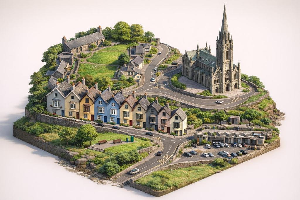
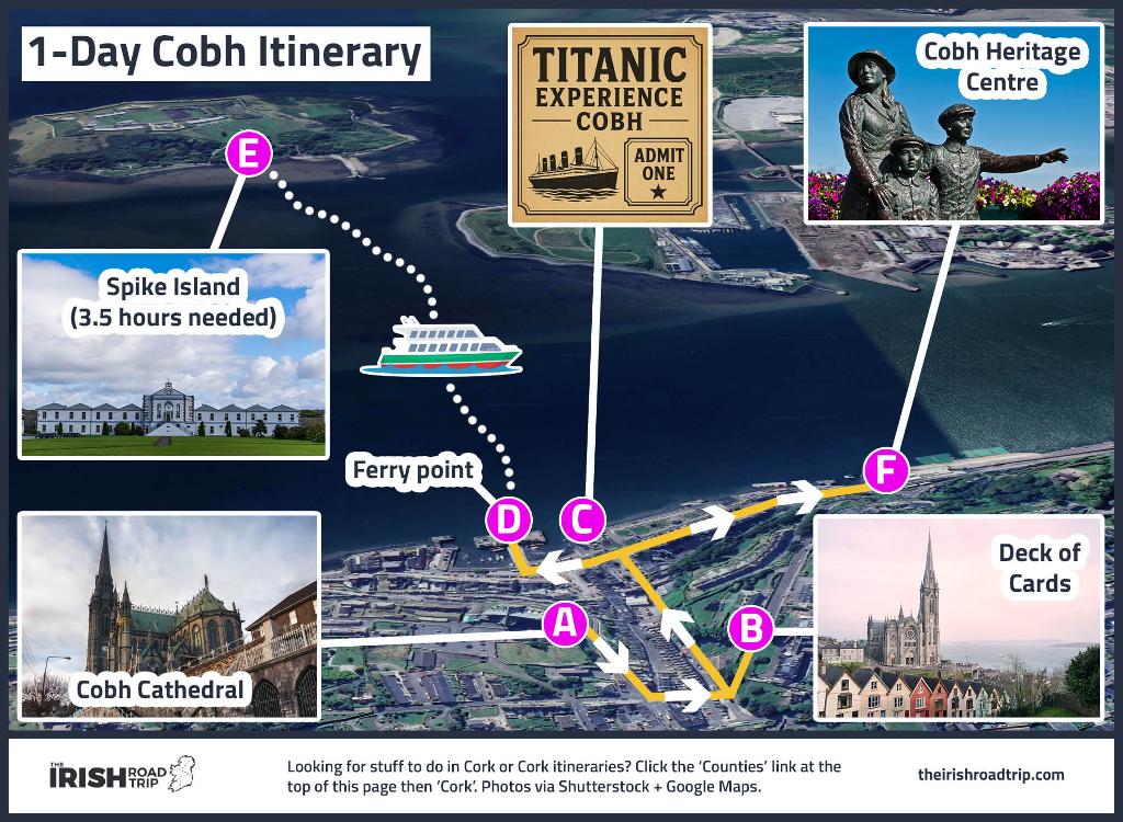
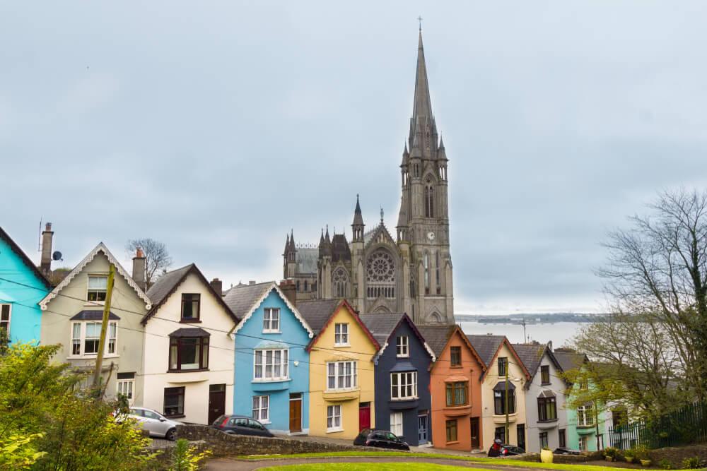
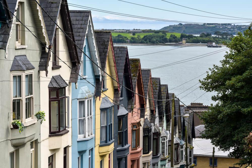
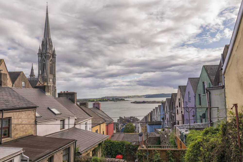
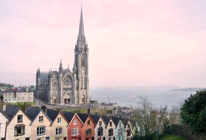
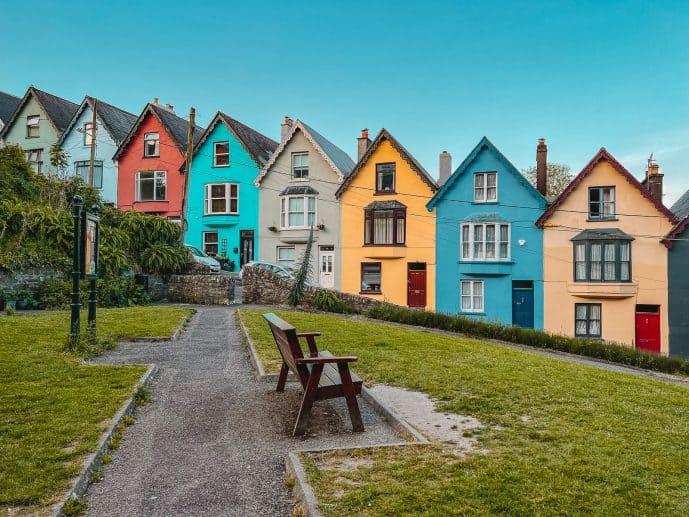
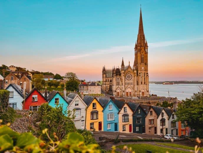
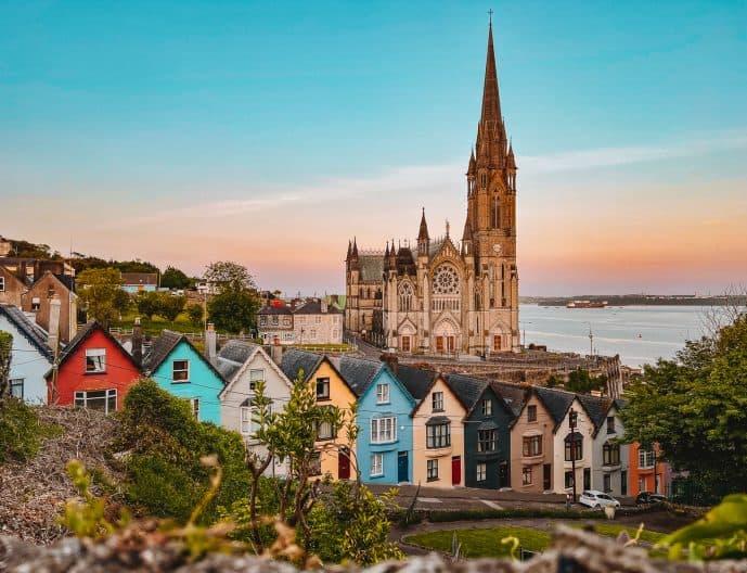
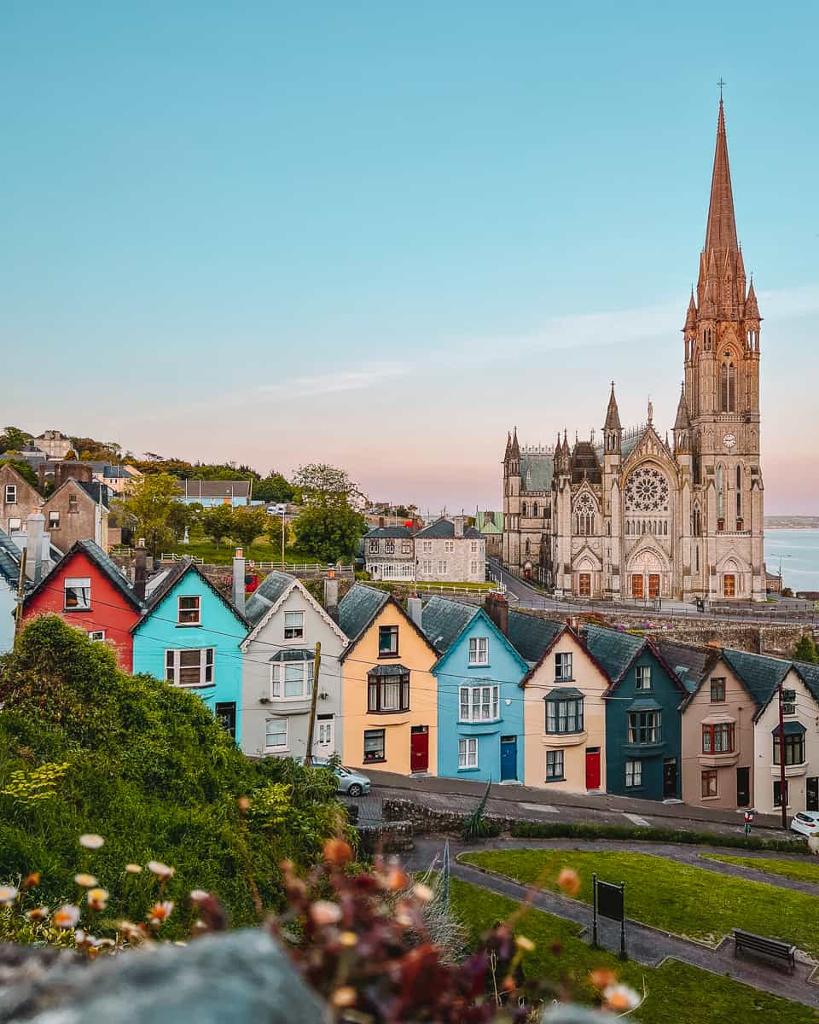
A steep row of 23 candy-coloured houses on West View that locals say would topple like a deck of cards, framed by St Colman's Cathedral and Cork Harbour. Cobh's most photographed scene — and it costs nothing to see.
- Highlights
- 23 gable-fronted houses, each painted a different bright shade
- Built in the 1850s for dockworkers
- Front-on shot from West View Park with St Colman's Cathedral behind
- Facilities
- Good for kids
9.Ballinaboola Trailhead
Two waymarked loop walks in the Ballyhouras
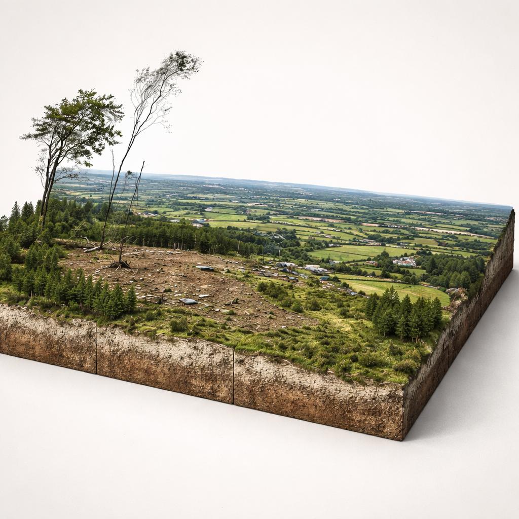
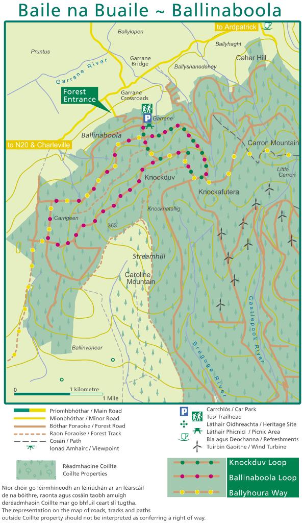
Ballinaboola Trailhead is the gravel car park gateway to two waymarked loop walks on the north-western shoulder of the Ballyhoura Mountains, where forestry roads open onto wide views across the Golden Vale.
- Highlights
- 10 km Ballinaboola Loop (purple, moderate)
- 5 km Knockduv Loop (green, moderate)
- 80 km Ballyhoura Way passes through the wood
10.Ballycotton Cliff Walk
a 7km cliff trail to hidden beaches
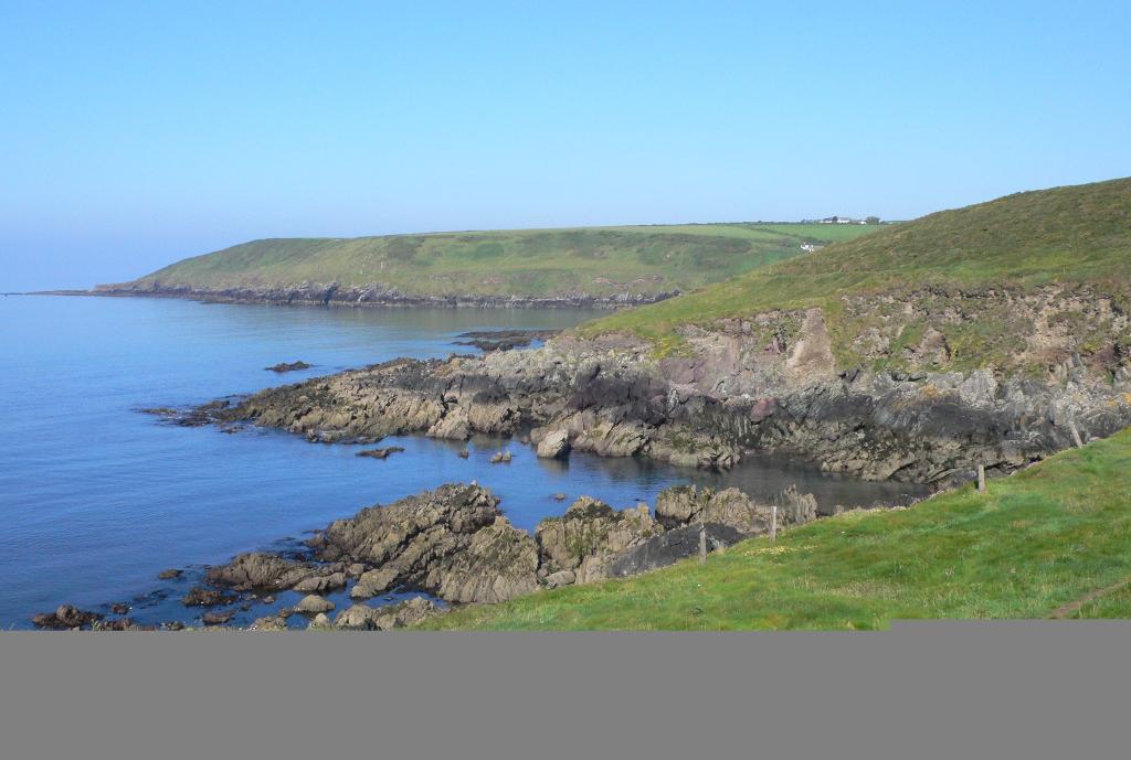
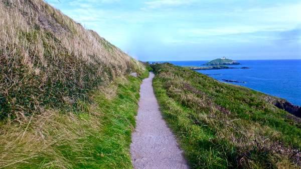
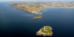
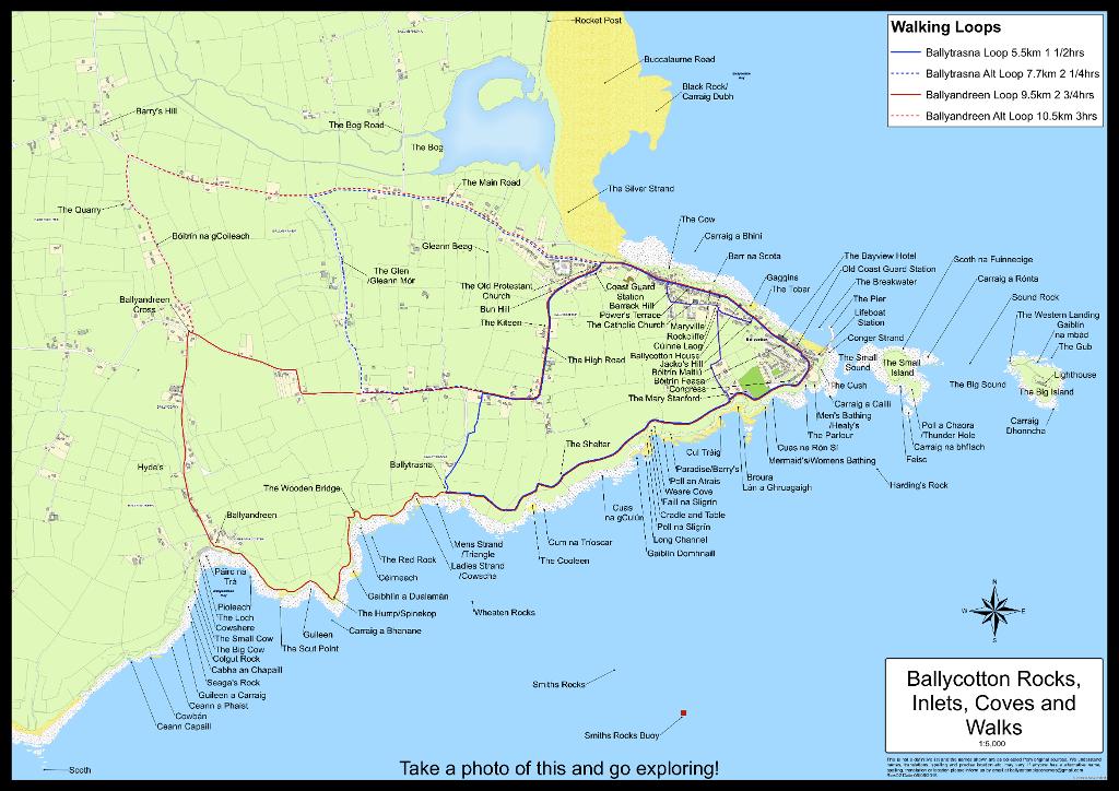
A foot-worn cliff track runs from the fishing village of Ballycotton west along the Atlantic, with meadows on one side and the sea, hidden coves and a black lighthouse on the other.
- Highlights
- Cliff-top views to Ballycotton's black lighthouse
- Rocky coves reached by side paths
- Peregrine falcons and oystercatchers overhead

11.Bell's Field
the 300-year-old view painted from this hill
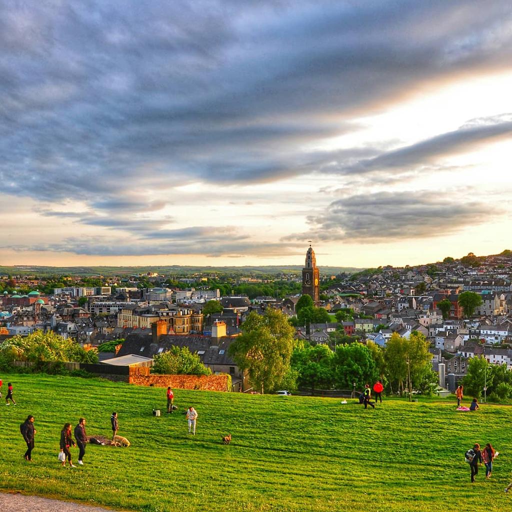
A steep scramble up Cork's northside ends at a grassy hilltop with the city's most famous panorama — the same view painters and The Young Offenders film crew came for.
- Highlights
- Cork's signature hilltop panorama
- Shandon Bells and St Fin Barre's on the skyline
- Filming location for The Young Offenders
- Facilities
- Good for kids · Dog-friendly
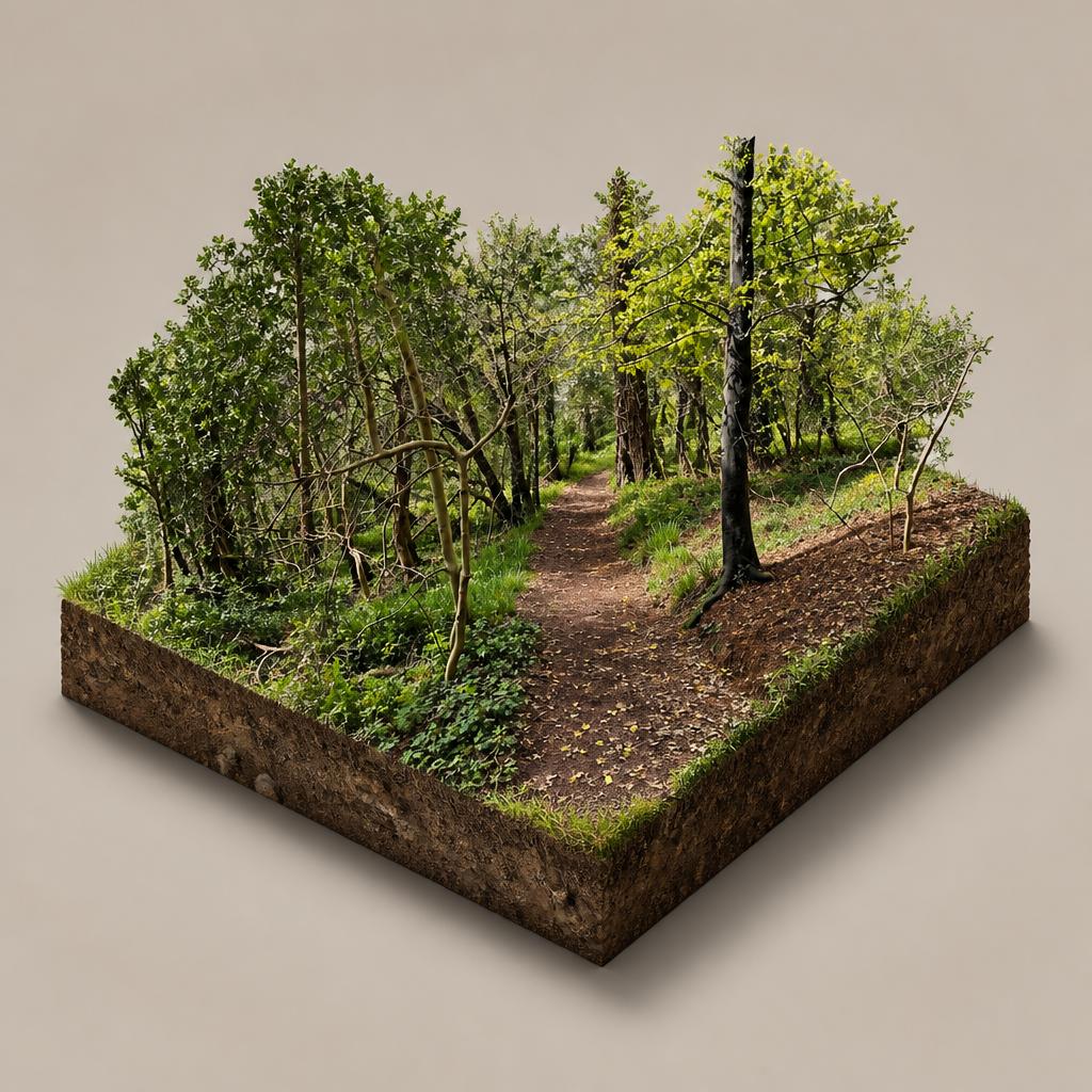
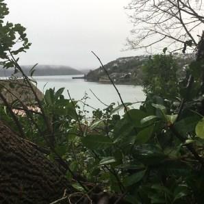
12.Curraghbinny Woods (Coillte Corra Binne)
harbour views from a Bronze Age hilltop cairn
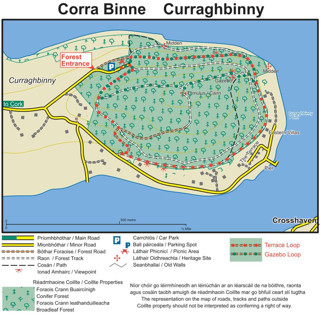
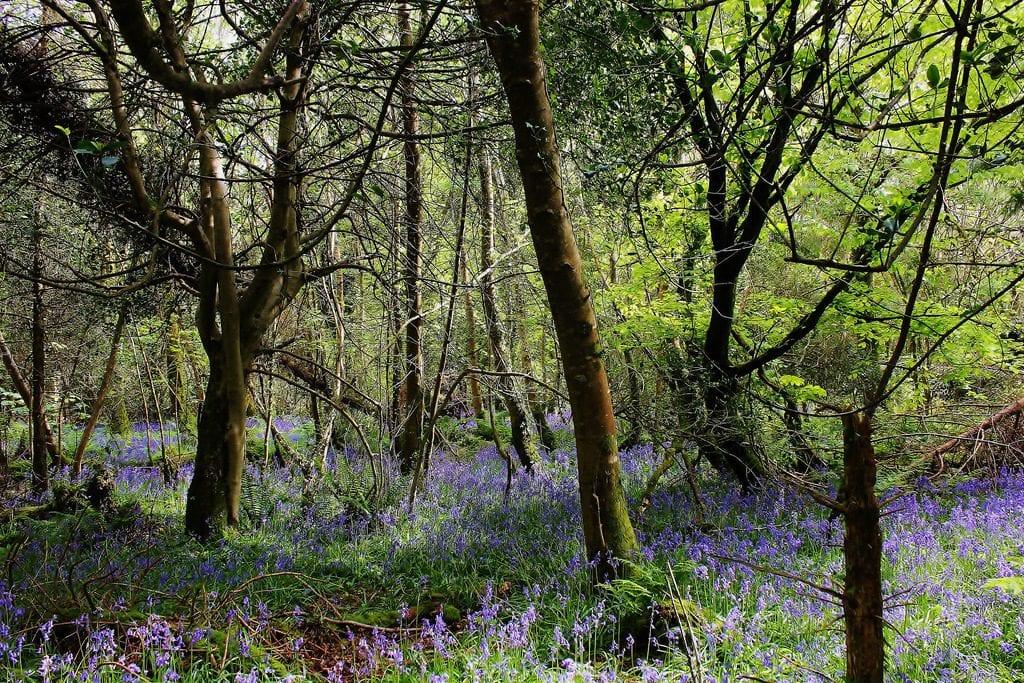
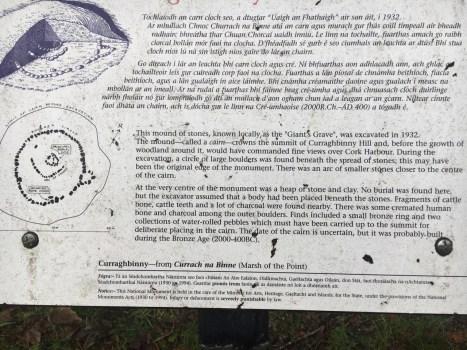
A compact 35-hectare Coillte wood on a hill above Cork Harbour, laced with old carriage paths that climb to a hilltop gazebo, a Bronze Age cairn and wide harbour views.
- Highlights
- Two waymarked loops: Gazebo Loop (1.5 km) and Terrace Loop (2.2 km)
- Hilltop gazebo with Cork Harbour views
- Bronze Age grave cairn, the Giant's Grave
- Facilities
- Good for kids · Dog-friendly
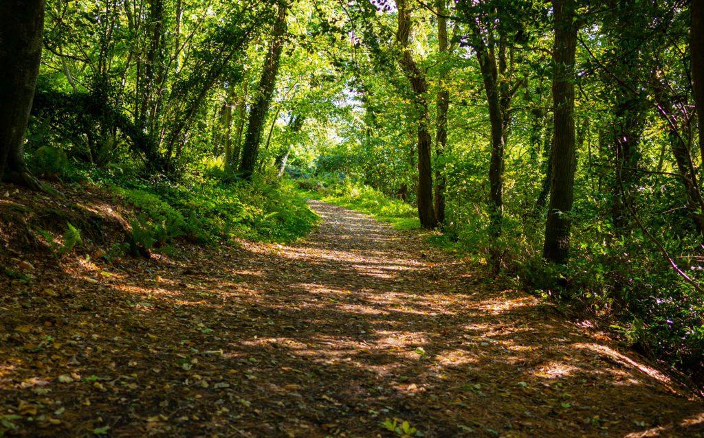
13.Marlogue Woods Forest Recreational Area
Free woodland walks to a hidden harbour shore
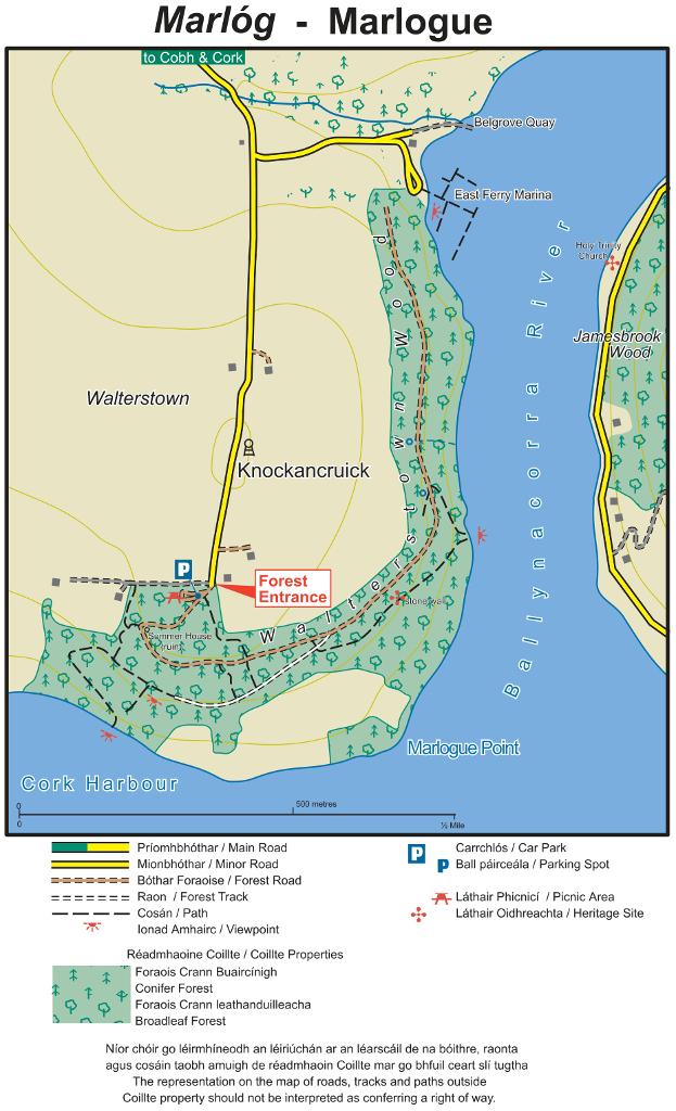
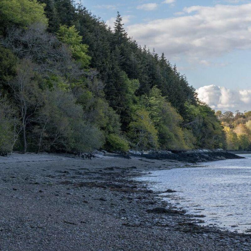
A quiet old oak-and-beech wood on the south-east of Great Island, where forest tracks drop through the trees to a stony shore with wide views across Cork Harbour.
- Highlights
- Old oak and beech woodland
- Rocky harbour beach with Cork Harbour views
- Waymarked easy loop, about 4.3 km
- Facilities
- Good for kids · Dog-friendly · Wheelchair access
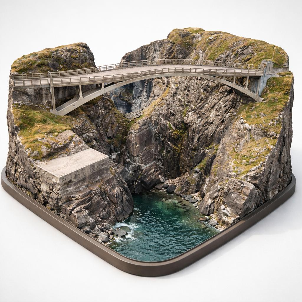
14.Mizen Head Signal Station
A 1907 concrete bridge 45m above the Atlantic
Ireland's most south-westerly point, where an award-winning footbridge slung high over the Atlantic links the mainland to a restored 1900s signal station. Tickets are bought at the desk on arrival — there are no online sales.
- Highlights
- Mizen Foot Bridge, rebuilt 2011, 52.4 m span and 45.7 m above sea level
- Mizen Vision signal station: Marconi Room, Engine Room, keepers' quarters
- Fresnel lens and Irish lighthouse displays
- Facilities
- Wheelchair access
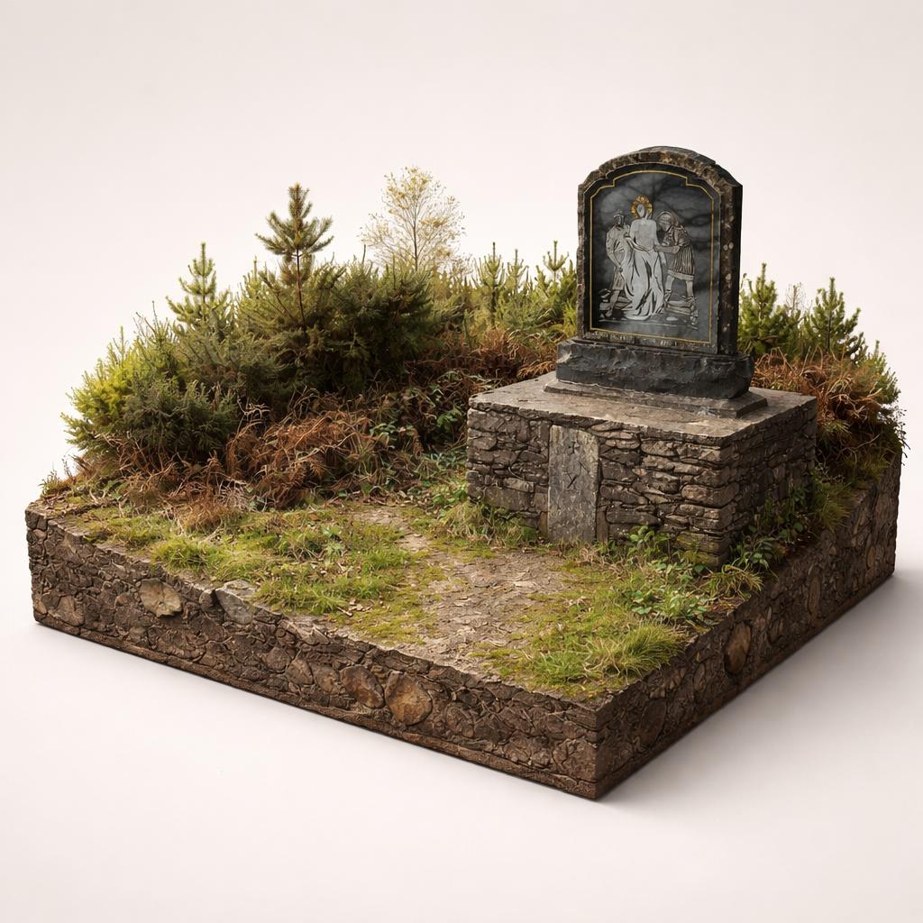
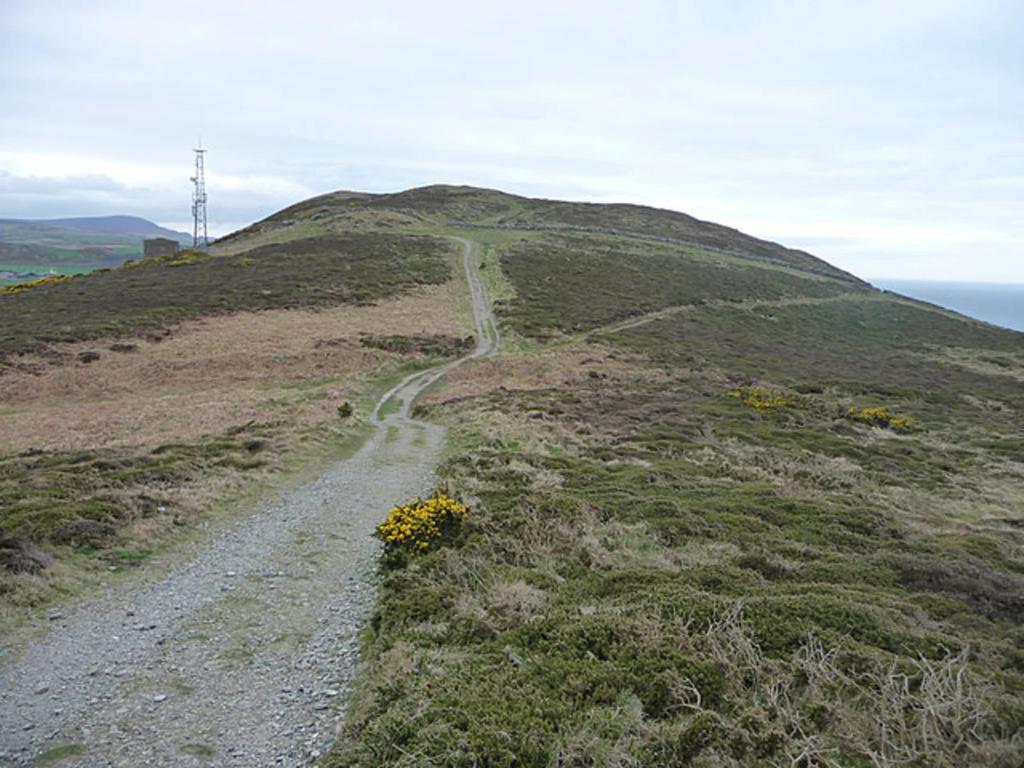
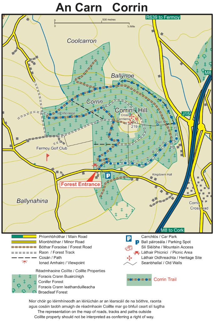
15.Corrin Wood Forest Recreational Area
a 4.5 km forest loop to 360° summit views
A wooded hill south of Fermoy rising to a Bronze Age summit mound crowned by a 1933 stone cross, with a 4.5 km loop trail and sweeping 360° views over the Golden Vale.
- Highlights
- 222 m summit with 360° views
- Bronze Age mound of Carn Thiernagh
- 1933 stone cross, lit at Christmas and Easter
16.Rineen Woods
A hidden coastal wood with a famine wall and lime kiln
A tucked-away coastal wood on the eastern shore of Castlehaven inlet, where a short trail links a famine-era wall, a shoreline lime kiln and long views down the water to the Atlantic.
- Highlights
- Views 4 km down Castlehaven inlet to the Atlantic
- The Narrows, where the two shores are just 50 m apart
- A famine-era estate wall
- Facilities
- Good for kids · Dog-friendly