Walk the Corrin Trail
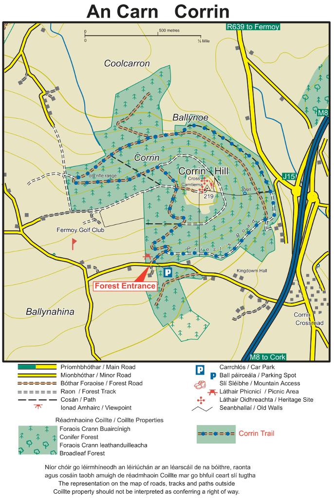
A 4.3-4.5 km waymarked blue-arrow loop (about 1.5 hours, moderate, 75 m ascent) circles the hill on quiet forest roads, with a mature beech section on the northern side. Walk it anticlockwise for the best views.
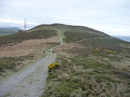
A wooded hill south of Fermoy rising to a Bronze Age summit mound crowned by a 1933 stone cross, with a 4.5 km loop trail and sweeping 360° views over the Golden Vale.
A 4.3-4.5 km waymarked blue-arrow loop (about 1.5 hours, moderate, 75 m ascent) circles the hill on quiet forest roads, with a mature beech section on the northern side. Walk it anticlockwise for the best views.
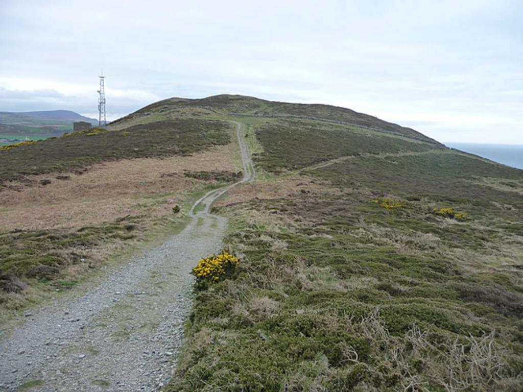
The hill rises to 222 m. The summit mound, Carn Thiernagh, dates to the Bronze Age over 3000 years ago and the Druid Mogh Ruith is said to be buried here; a ring fort encircles the top beside the large stone cross raised in 1933. The 360° summit panorama is the reward.
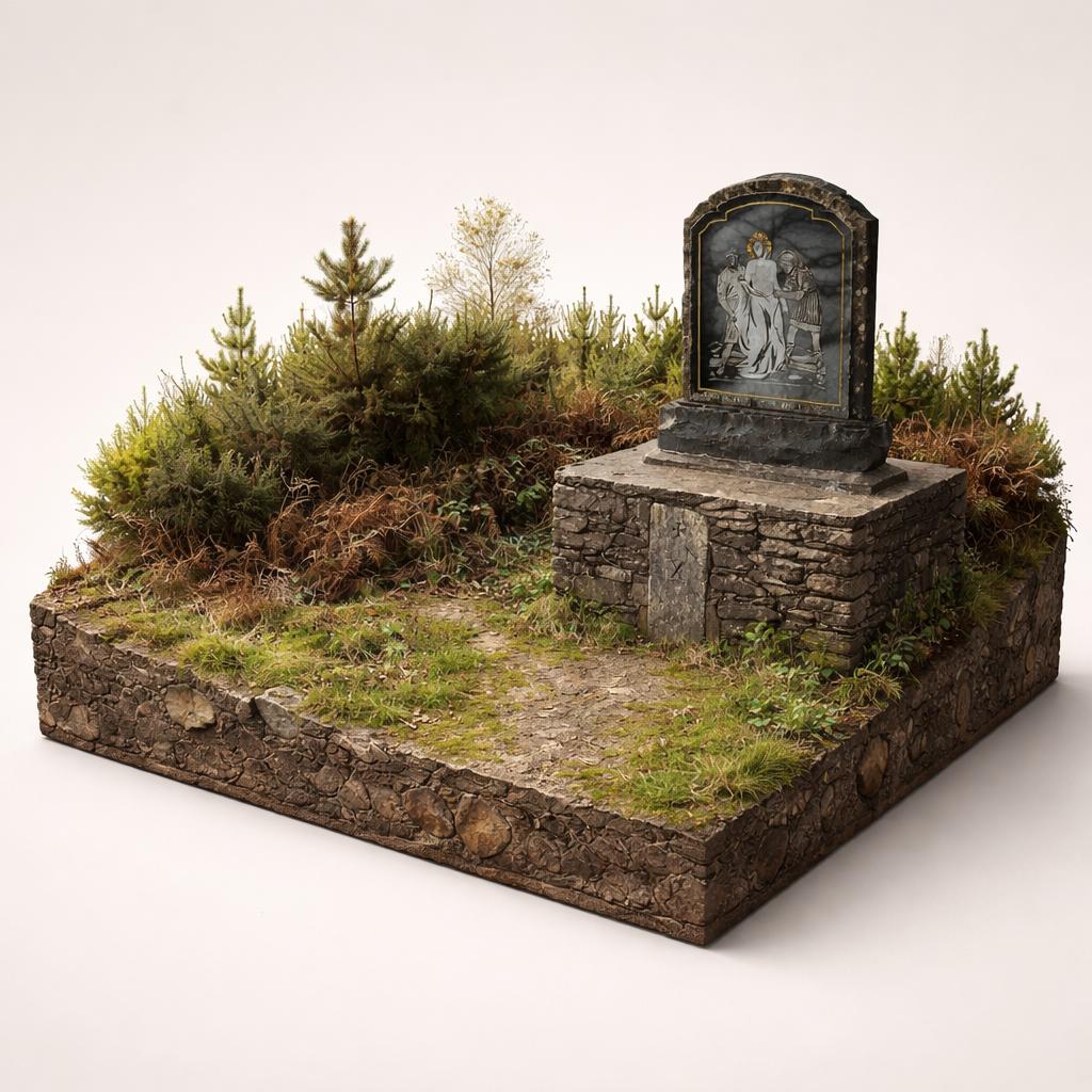
Fourteen Stations of the Cross line the forest road from the car park to the summit, representing the final events in the Passion of Christ.
Corrin is a red squirrel haven, with feeders in the neighbouring golf course; fallow deer pass through and buzzards are commonly heard around the top.
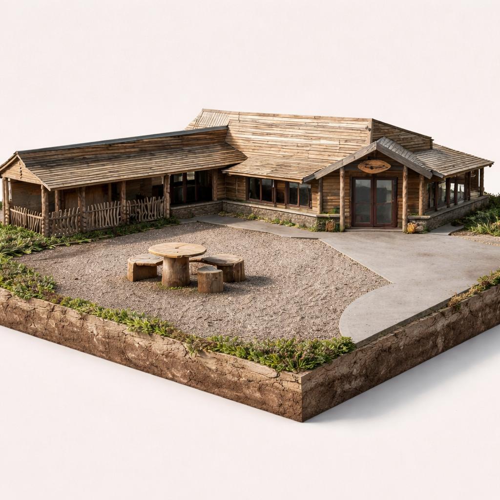
Several picnic tables sit in the car park, a handy base before or after the climb.
Load the interactive map to explore this place location.