Walk the full Beara Way
A roughly 200-220km waymarked circuit that begins and ends in Glengarriff and takes most walkers about nine days. It is graded strenuous, mixing quiet roads, bog tracks, woodland and open moor.
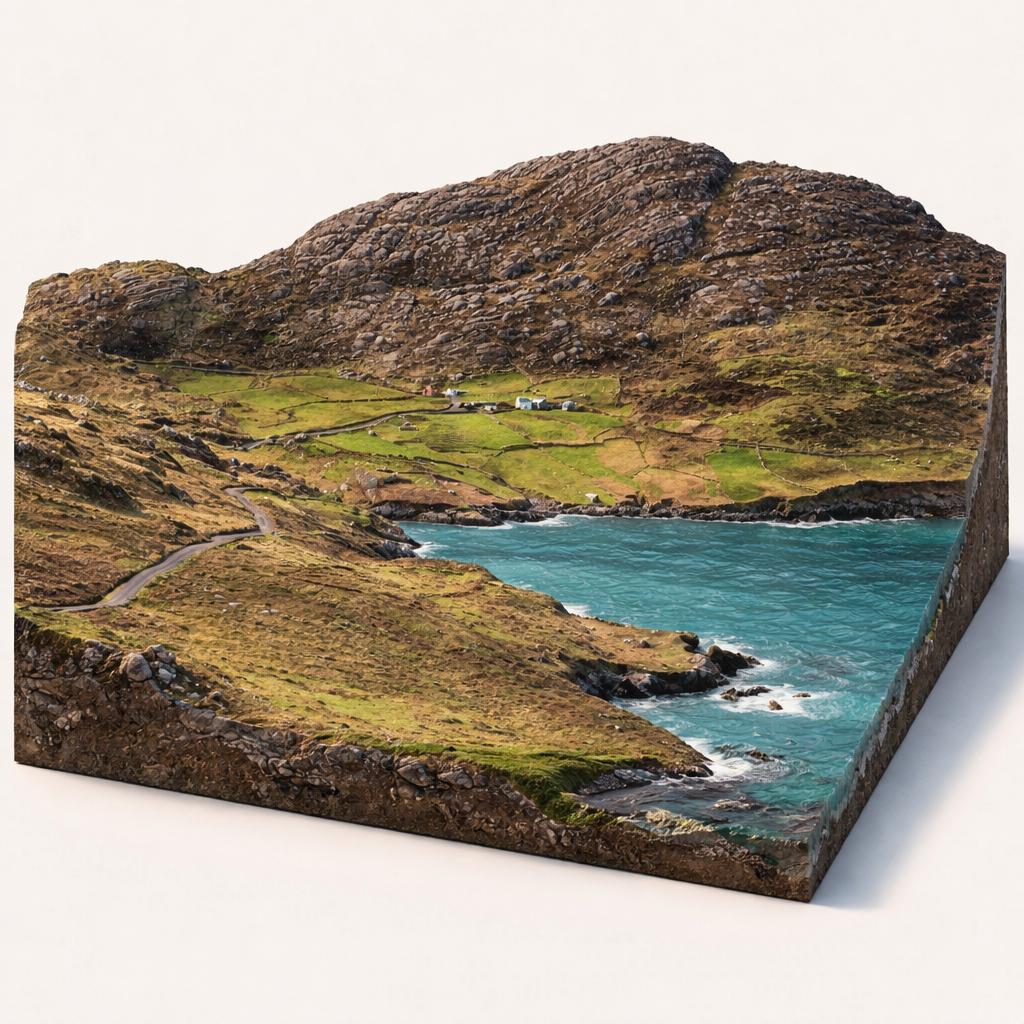
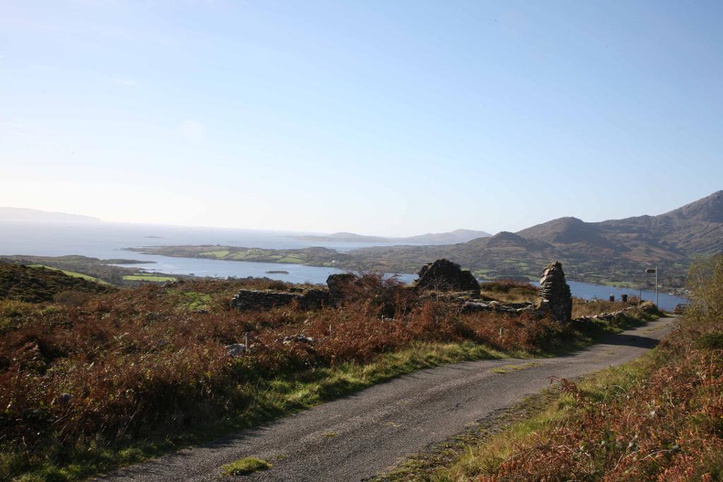
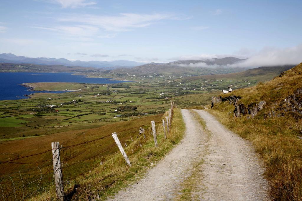
The Beara Way is a waymarked long-distance trail that loops the wild Beara Peninsula, linking rugged Caha and Miskish mountain passes with Atlantic villages and a cable-car crossing to Dursey Island.
A roughly 200-220km waymarked circuit that begins and ends in Glengarriff and takes most walkers about nine days. It is graded strenuous, mixing quiet roads, bog tracks, woodland and open moor.
Day sections link Glengarriff, Adrigole, Castletownbere, Allihies, Eyeries, Ardgroom, Lauragh and Tuosist. Expect Glengarriff Woods and the climb north of Sugarloaf, the flanks of Hungry Hill, and the Healy Pass through the Caha Mountains.
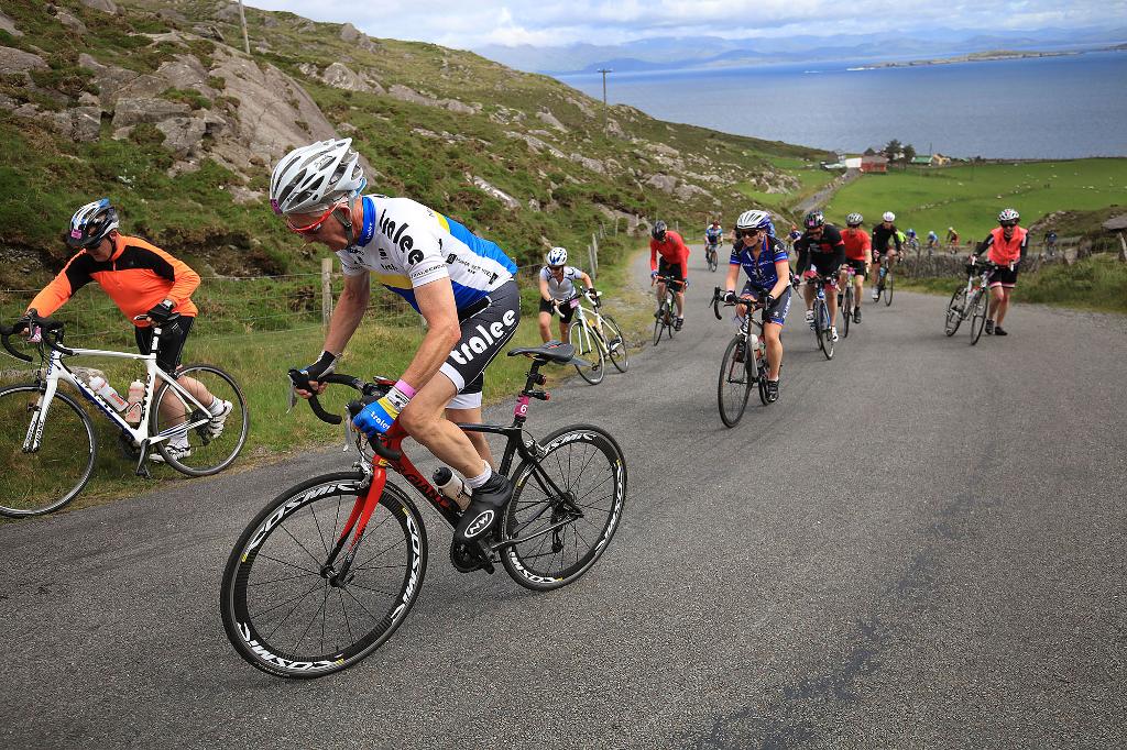
A 183km sign-posted National Cycling Route follows country roads around the whole peninsula with no fixed start, so you can join in any town or village.
Fifteen waymarked loops let you sample the best scenery in half a day, among them Dunboy Woods, Glengarriff Woods, Allihies, Eyeries, Ardgroom, Dursey, Bere Island and Bonane.
A spur leads to Dursey Sound and Ireland's only cable car, crossing to sparsely inhabited Dursey Island for cliffs and seabirds. A second spur loops Bere Island, reached by ferry and ringed with 19th-century military forts.
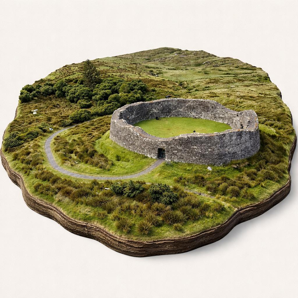
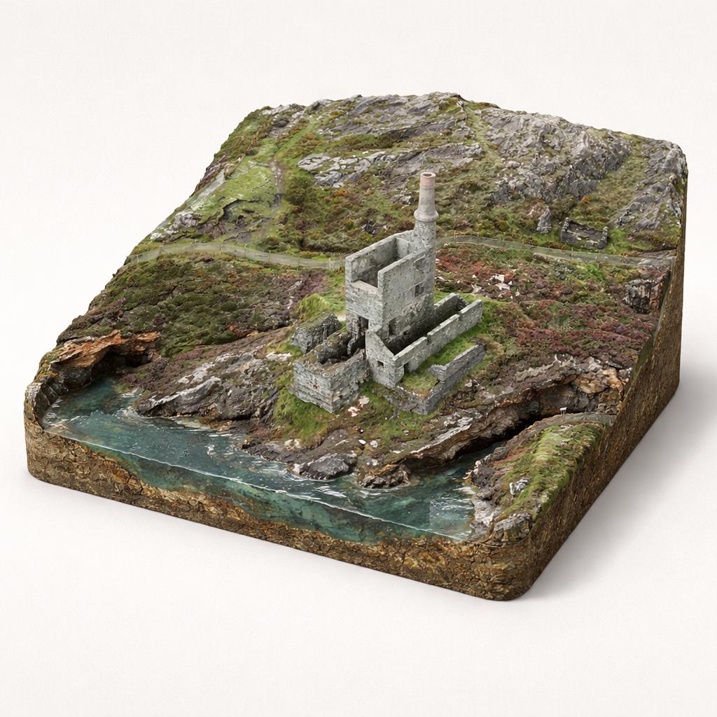
The route passes Bronze Age wedge tombs, stone circles, standing stones, Ogham stones and old church sites. Collect a Breifne Way passport stamp at the plaques dotted along the way.
Load the interactive map to explore this place location.