Trails and Viewpoints in Co. Kerry
14 places
1.Bray Head (Co. Kerry) Loop Walk(Siúlóid Lúb Ceann Bhré)
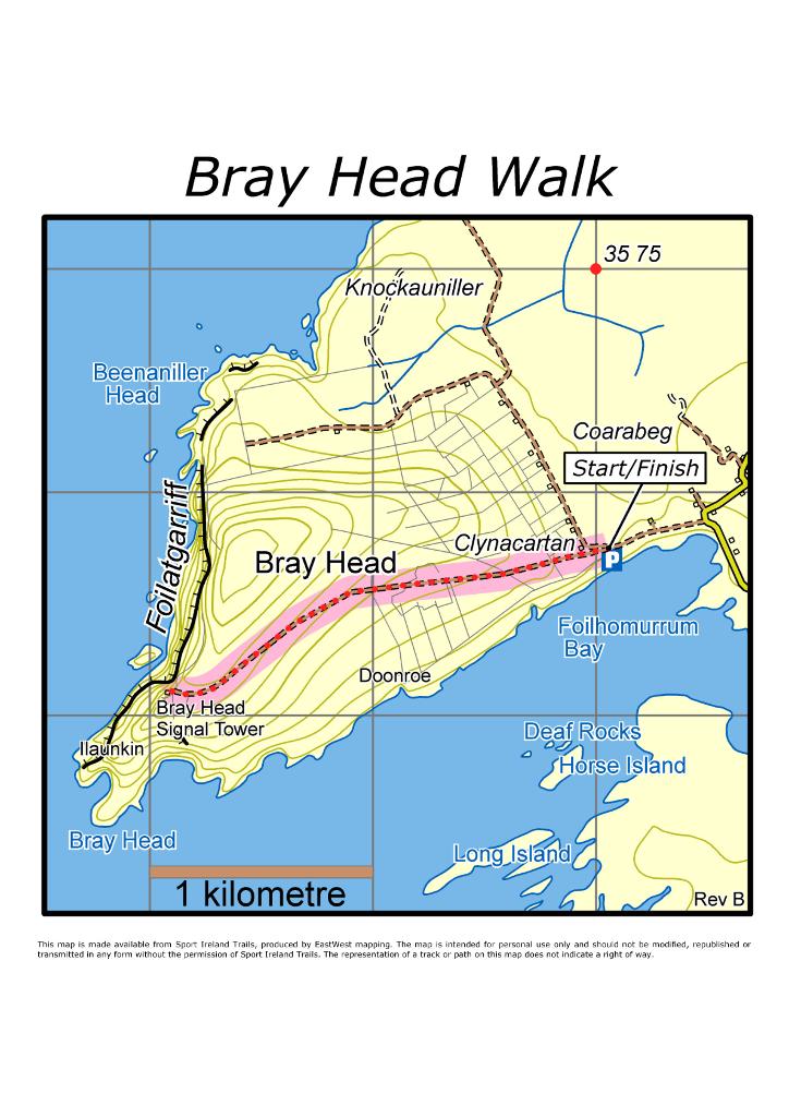
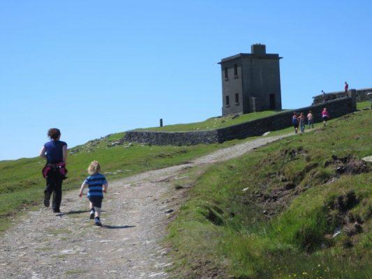
cliff-top climb to an 1815 signal tower
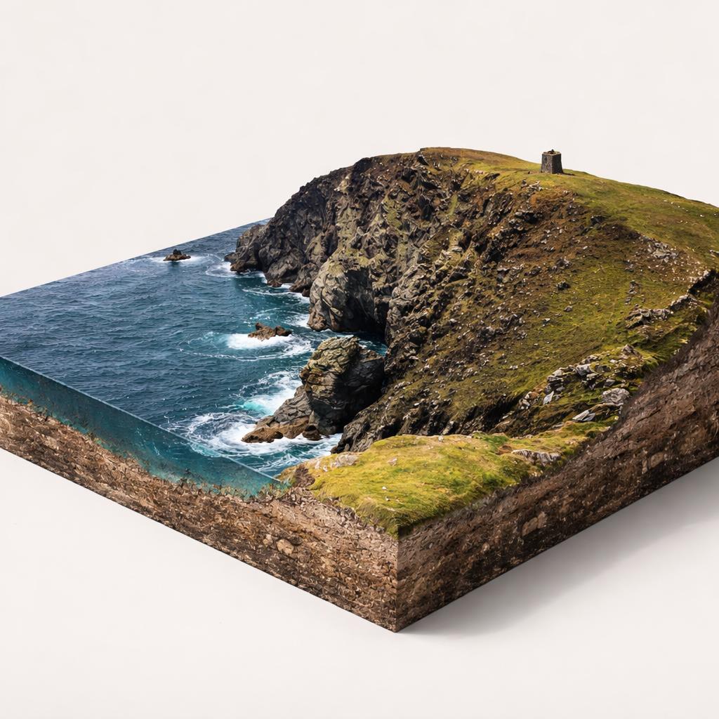
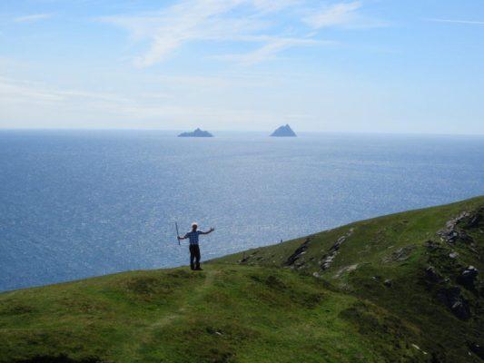
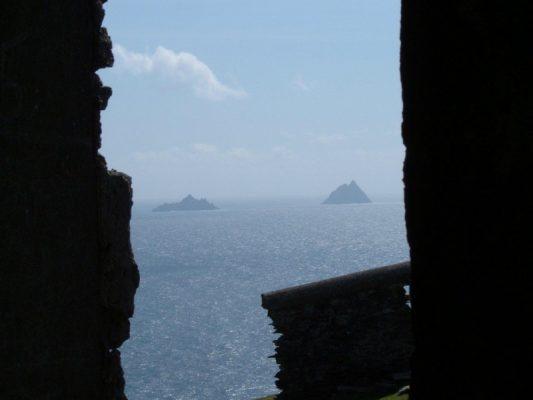
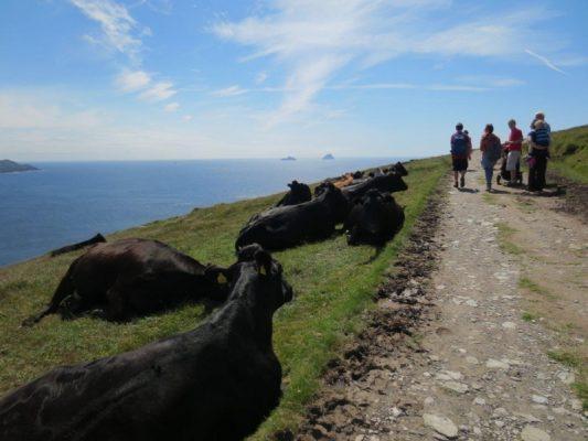
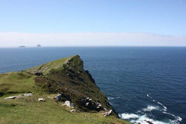
A wild Atlantic headland on the western tip of Valentia Island, where a steady climb past an 1815 signal tower rewards you with cliff-top views out to the Skellig Islands.
- Highlights
- Panoramic views of the Skellig Islands (UNESCO site, Star Wars location)
- Bray Tower, an 1815 Napoleonic-era signal tower
- Exposed cliff-top Atlantic scenery
- Facilities
- Wheelchair access
2.Cé Dhún Chaoin / Dunquin Pier
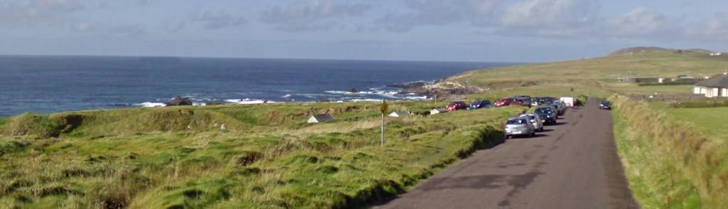
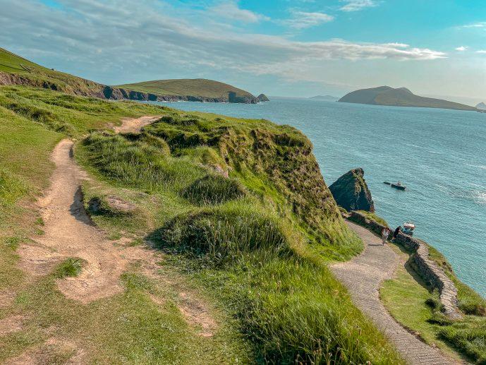
Serpentine 'Sheep Highway' pier above the Atlantic
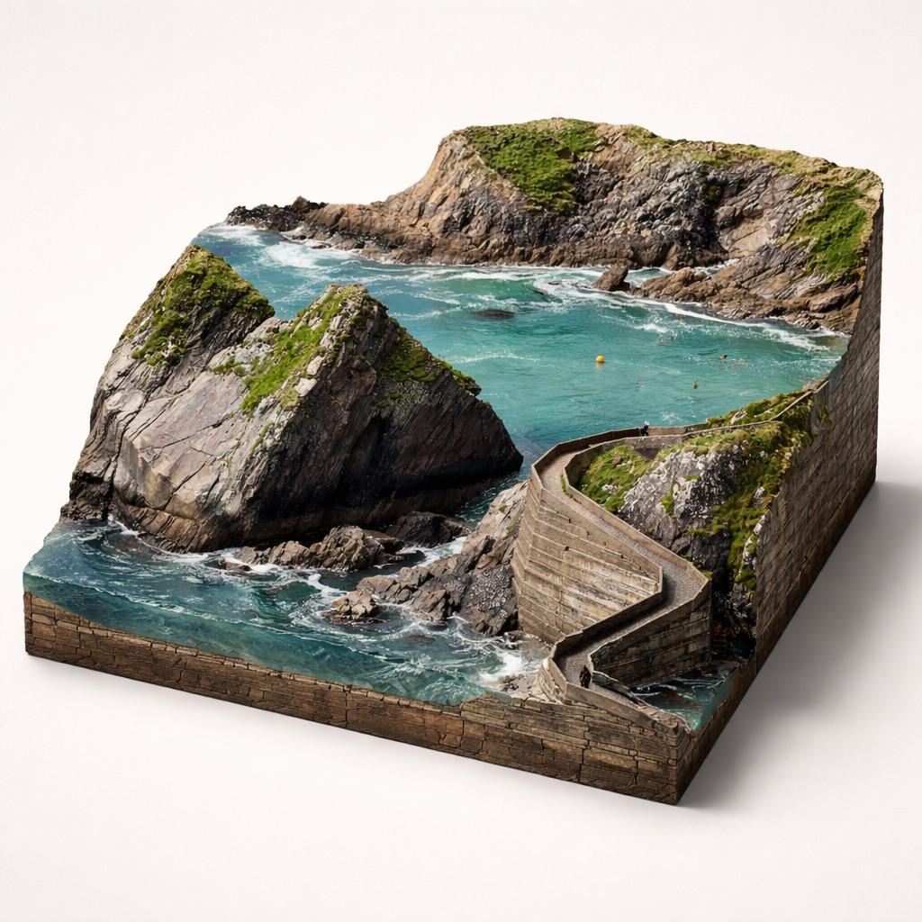
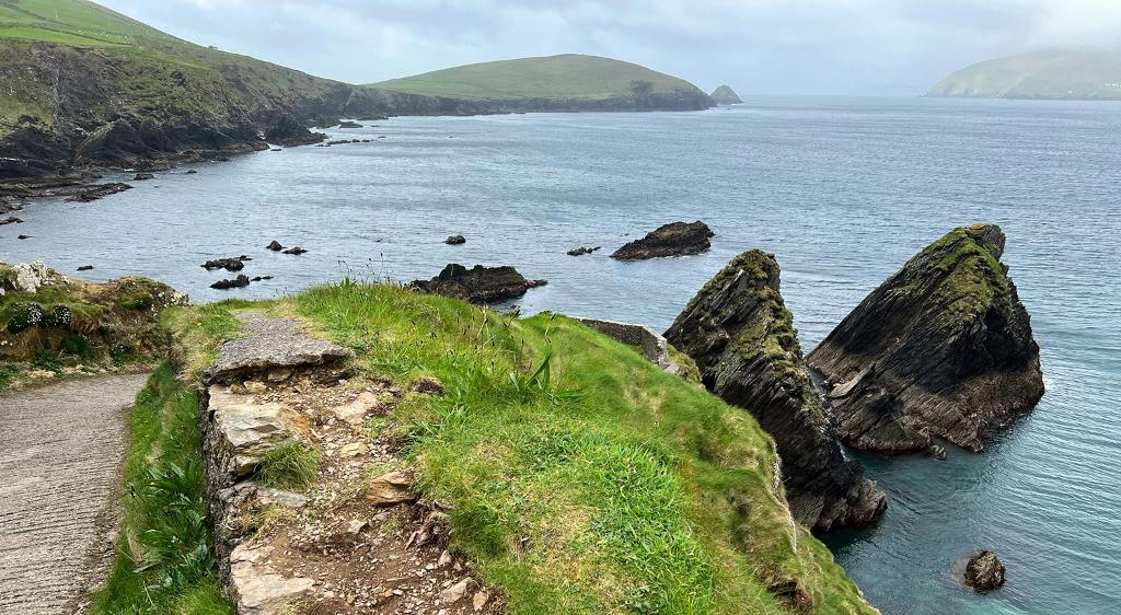
A serpentine concrete ramp snakes down a Kerry cliff to a tiny harbour, its switchbacks folded against two pyramid-shaped sea stacks. Nowhere else on the Wild Atlantic Way packs so much drama into one small pier.
- Highlights
- Walk down (and up) the zig-zag 'Sheep Highway' ramp
- Clifftop viewpoint over the pier and sea stacks
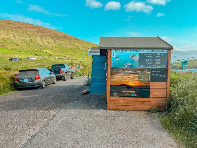
- Seasonal ferry to the Great Blasket Island
3.Glanageenty Forest Recreation Area
The glen where the last Earl of Desmond was beheaded
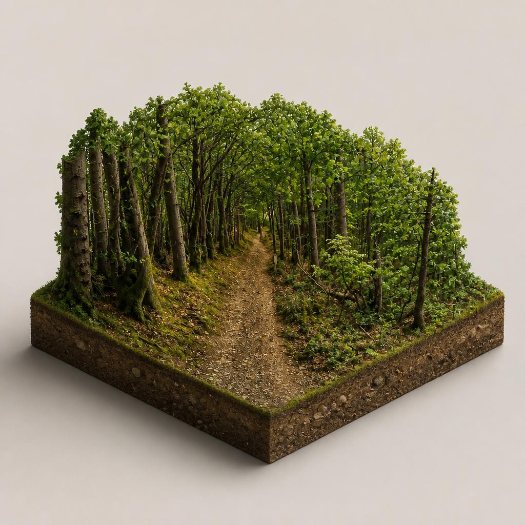
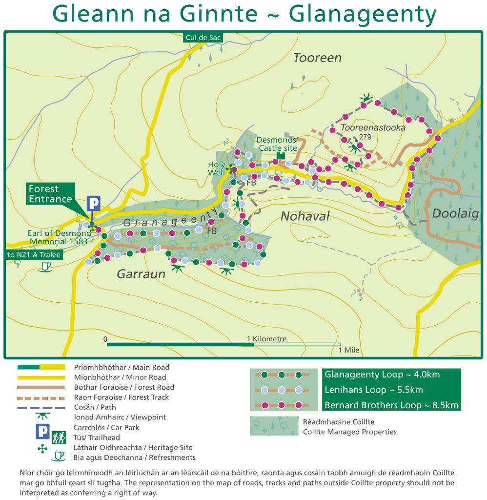
A steep, wooded glen near Castleisland where three waymarked loops follow a river past the site of a Desmond castle. Free to visit, with picnic tables tucked among the trees.
- Highlights
- Three waymarked loops (approx. 4 km, 5 km and 9 km)
- Free entry and free car park
- Riverside woodland with wild goats and birdlife
- Facilities
- Good for kids · Dog-friendly
4.Head of the Gap of Dunloe
Highest point of a glacier-carved mountain pass
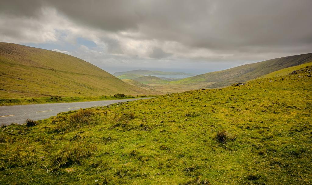
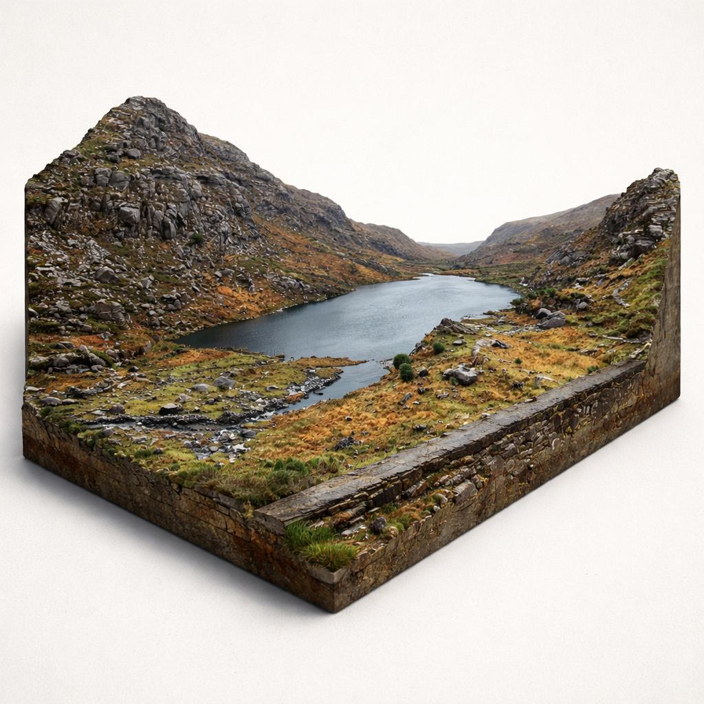
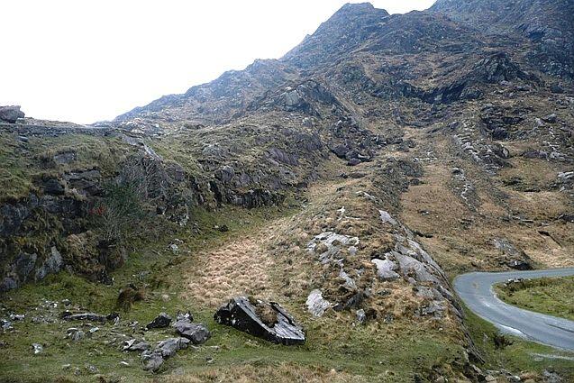
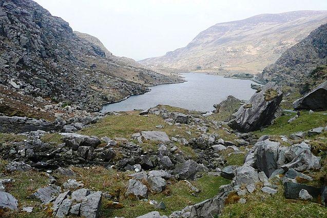
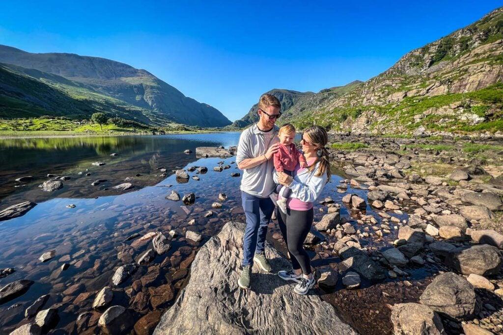
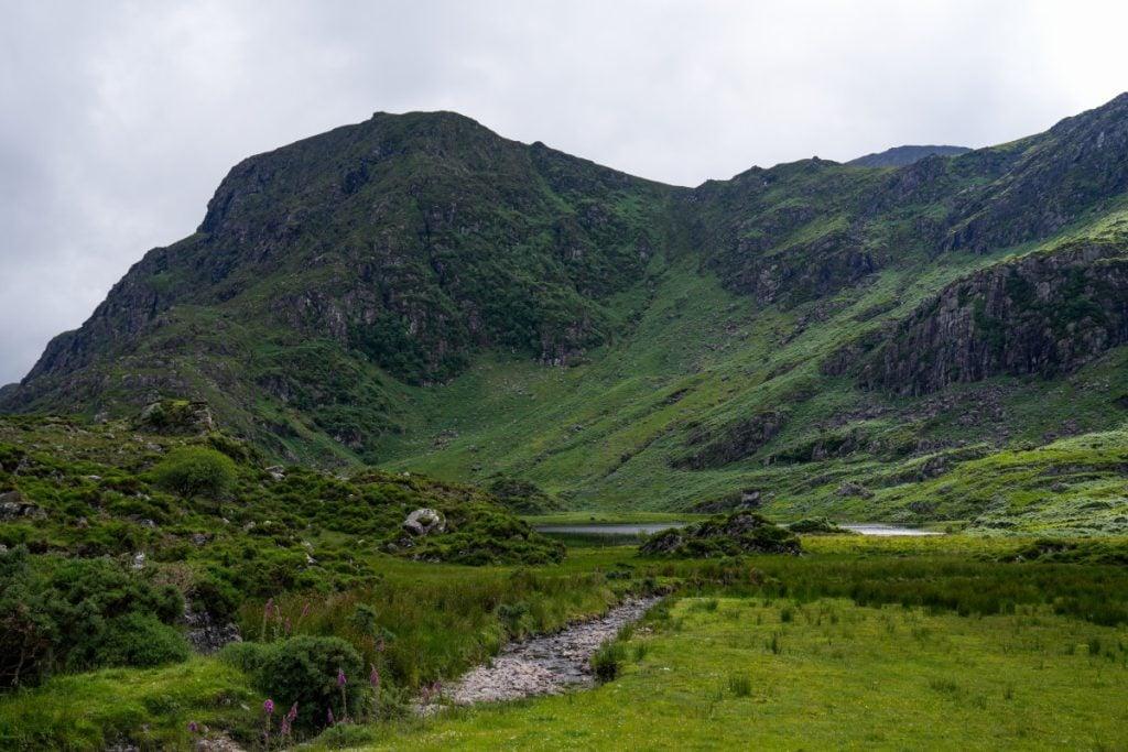
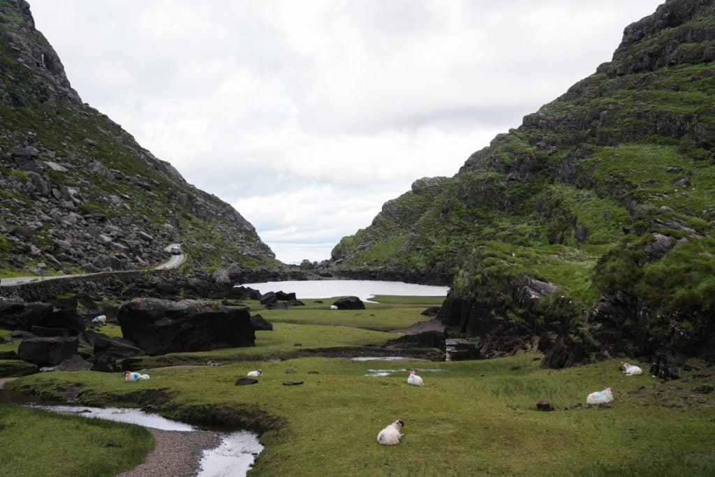
The Head of the Gap is the high point of the Gap of Dunloe, where the road tops out between the MacGillycuddy Reeks and Purple Mountain and the whole glacier-carved valley finally opens up below you. Parking and access are free; there are no shops or toilets up here, only the road, the sheep and the view.
- Highlights
- Highest point of the pass, around 240 m
- Wide panorama down the valley to Auger Lake
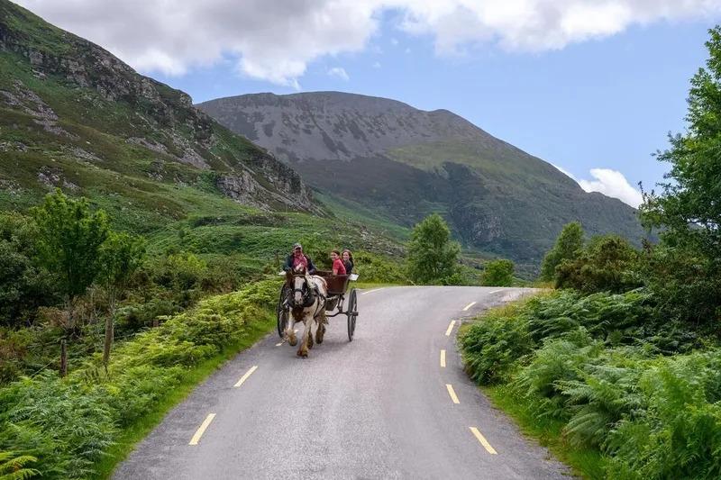
- Jaunting cars for hire at the top
5.An Chonair / Conor Pass
Driving the country's highest mountain pass
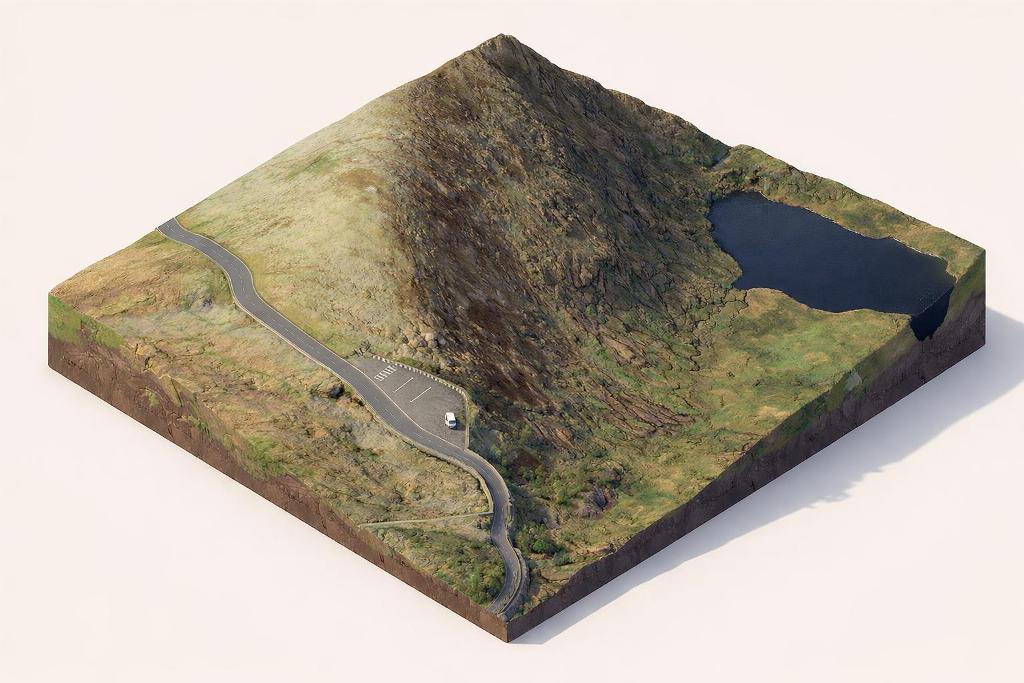
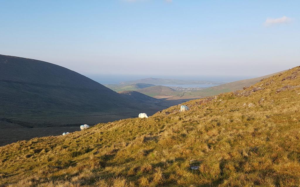
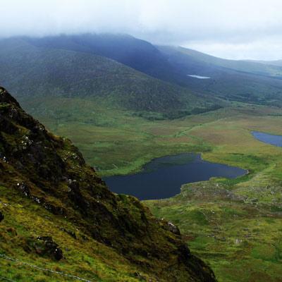
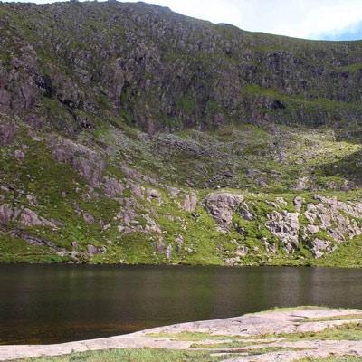
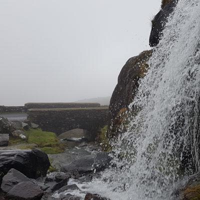
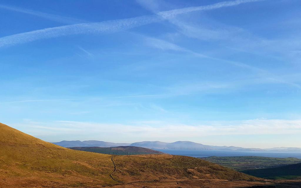
An Chonair, or Conor Pass, is the highest mountain pass in Ireland — a narrow, twisting road over the Dingle Peninsula with corrie lakes, a waterfall and sweeping views to the Atlantic on both sides.
- Highlights
- Ireland's highest mountain pass, about 456 m
- Summit car park and Wild Atlantic Way discovery point
- Lough Doon (Pedlar's Lake), a glacial corrie lake
- Facilities
- Good for kids · Wheelchair access

6.Ballybunion Cliff Walk
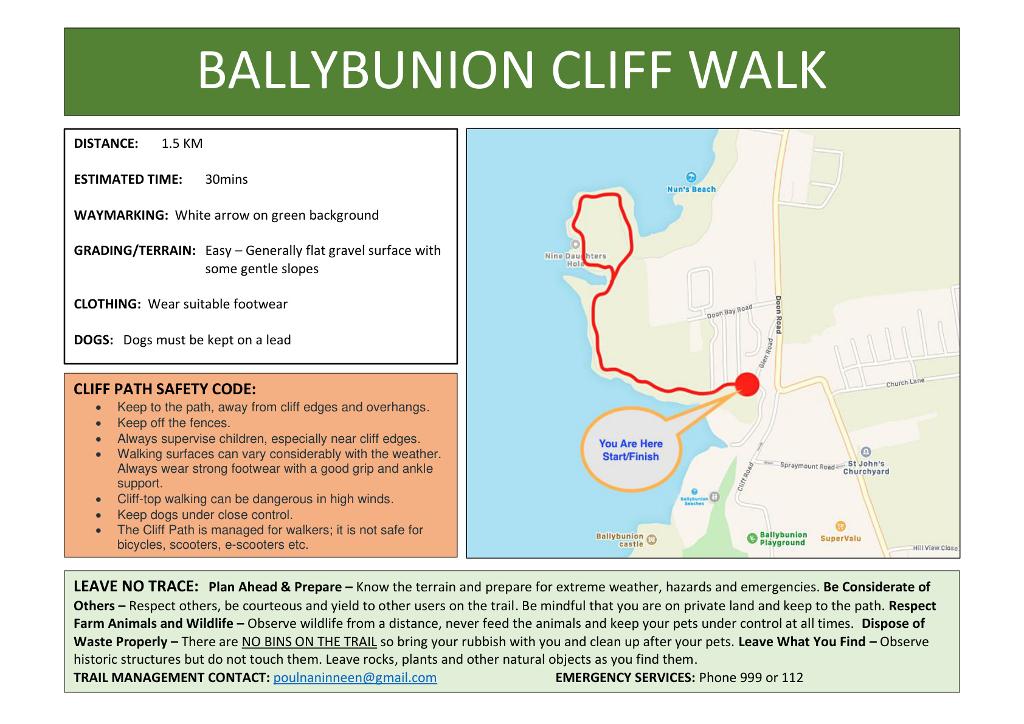
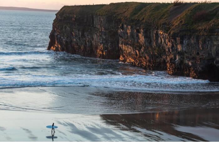
An easy 1km cliff loop with a blowhole and sea arch
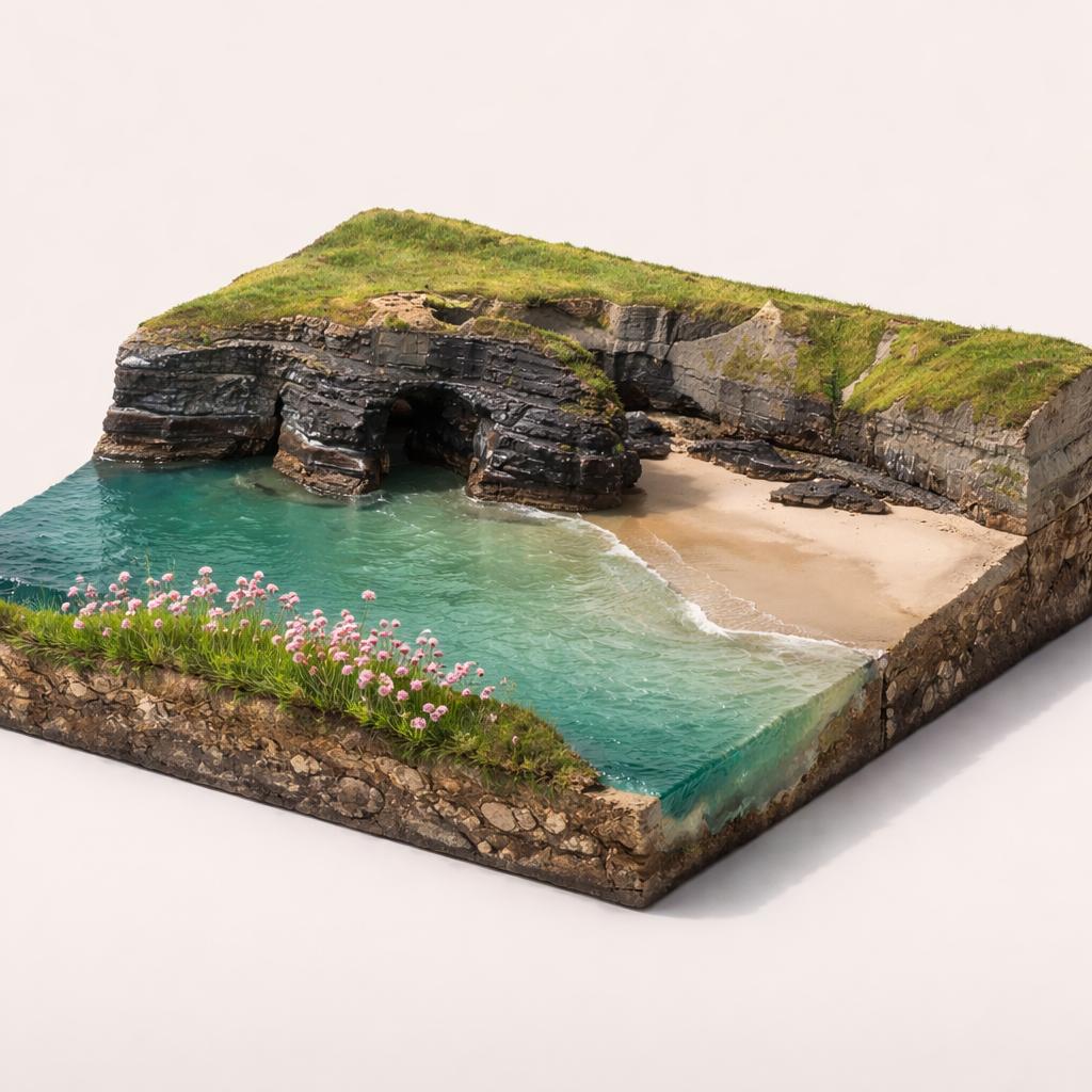
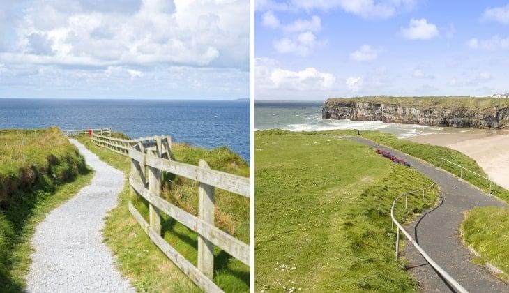
A short, easy loop along the cliff tops above Ballybunion's beaches, taking in a blowhole, a sea arch and wide Atlantic views out towards Loop Head.
- Highlights
- Easy, waymarked cliff-top loop above the beaches
- Nine Daughters' Hole blowhole and its legend
- Virgin Rock natural sea arch
7.Geokaun Mountain and Cliffs
Drive to 360° views over the Skelligs
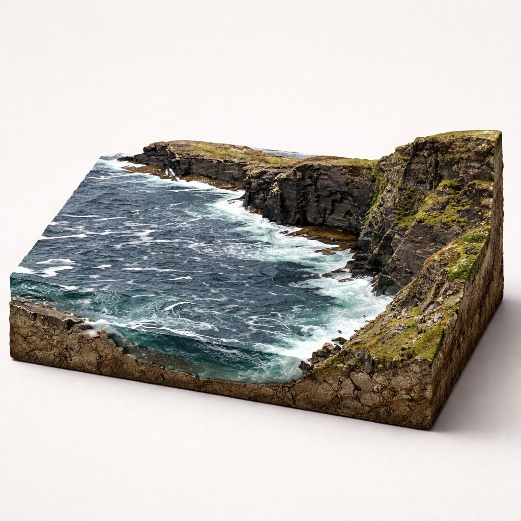
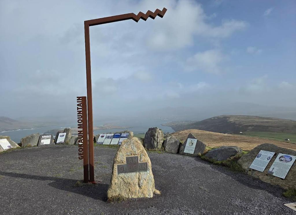
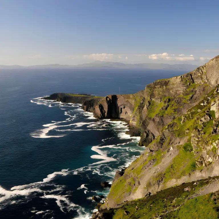
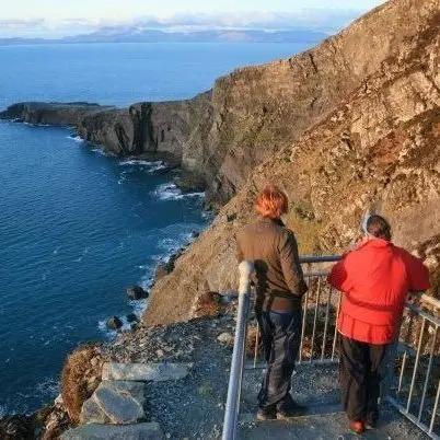
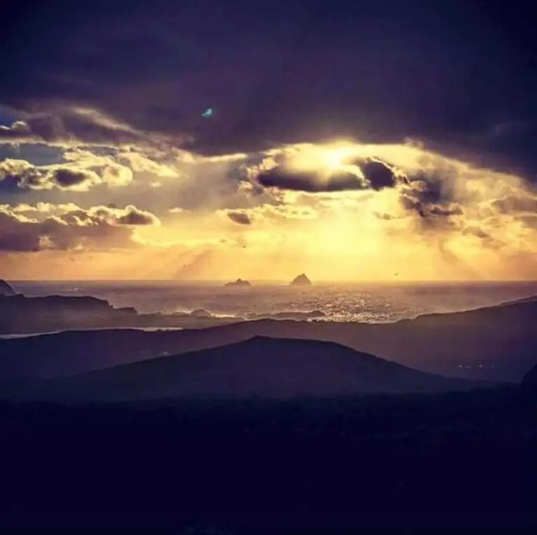
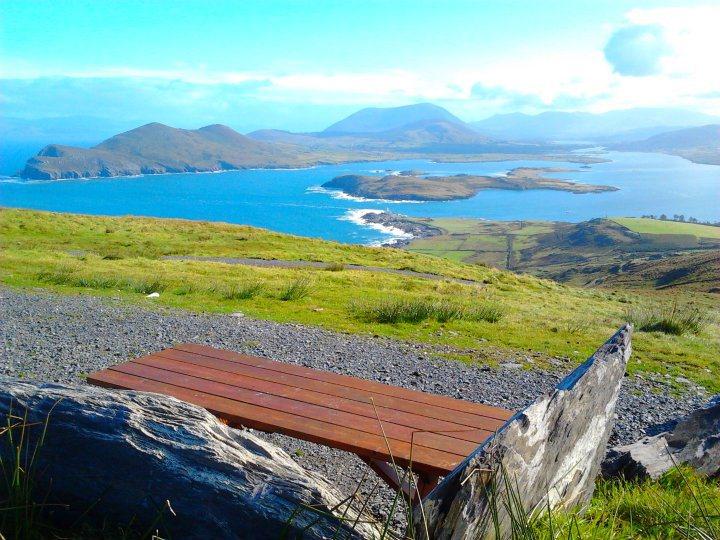
The highest point on Valentia Island, where a private road climbs to 360° views over the Skelligs, Dingle Bay and the Kerry mountains — with 180 m sea cliffs and a cliff-top viewing deck on the way.
- Highlights
- 360° views over Dingle Bay, the Skelligs and the Kerry mountains
- You can drive all the way to the summit — four car parks, including at the top
- The 180 m (600 ft) Fogher Cliffs and their viewing deck
- Facilities
- Good for kids · Wheelchair access
8.Glanteenassig Forest Park
Boardwalk trails around two remote loughs
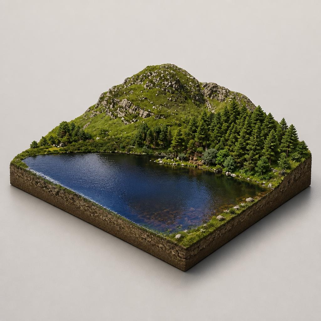
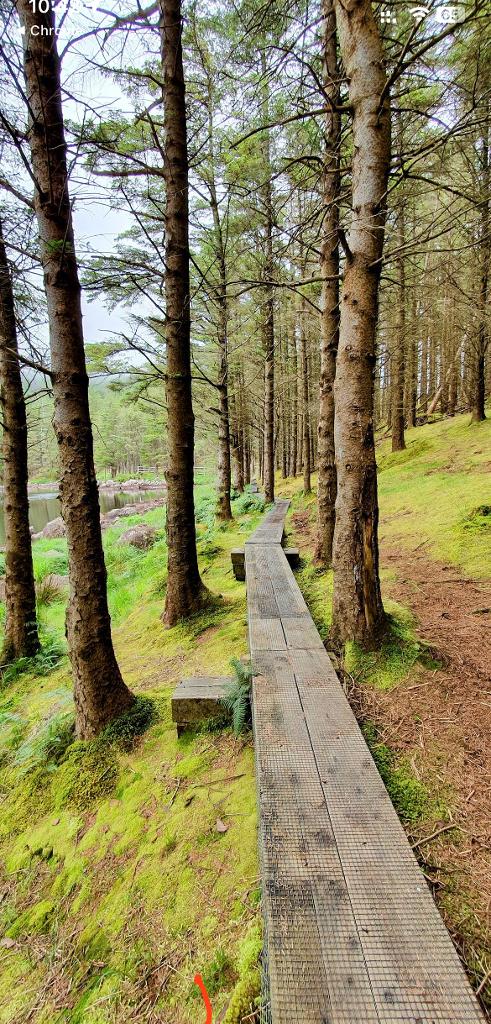
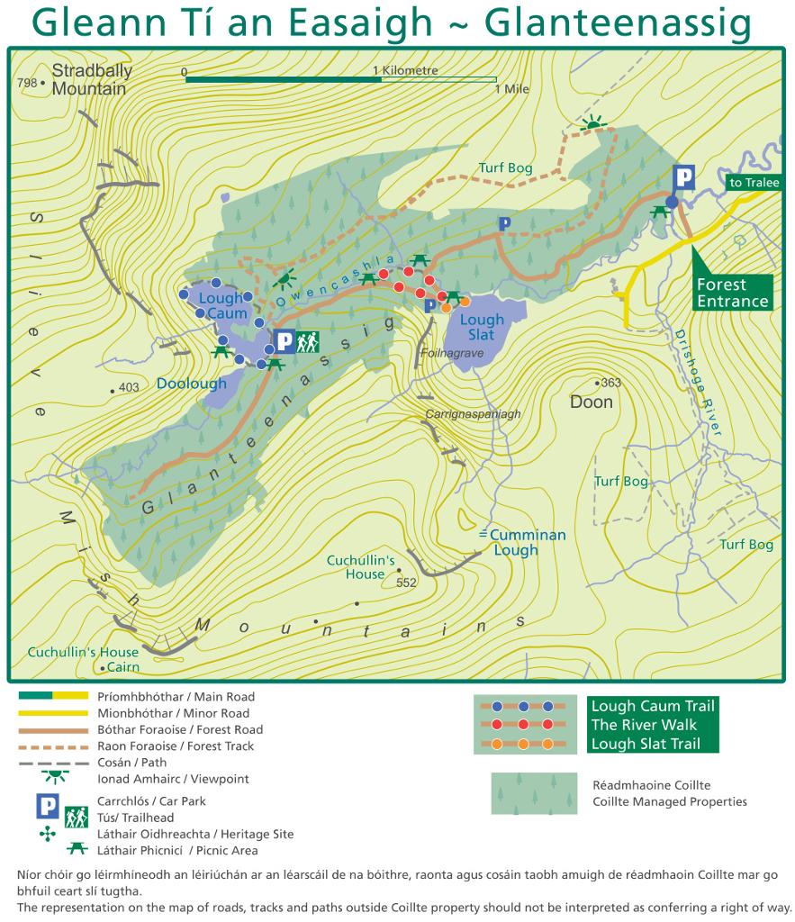
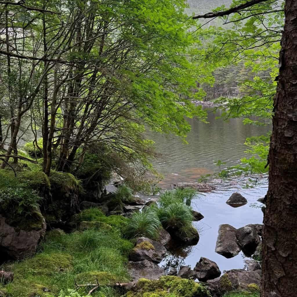
A remote 450-hectare forest park in a sheltered valley below the Slieve Mish mountains, where woodland trails lead to two quiet loughs and a boardwalk that most Dingle itineraries miss.
- Highlights
- 450 hectares of woodland, mountain, lake and peatland
- Boardwalk loop around Lough Caum
- Lough Slat viewpoint and the crag of Carrignaspaniagh
- Facilities
- Good for kids · Dog-friendly · Wheelchair access
9.Ladies' View Viewpoint
Named after Queen Victoria's ladies-in-waiting in 1861
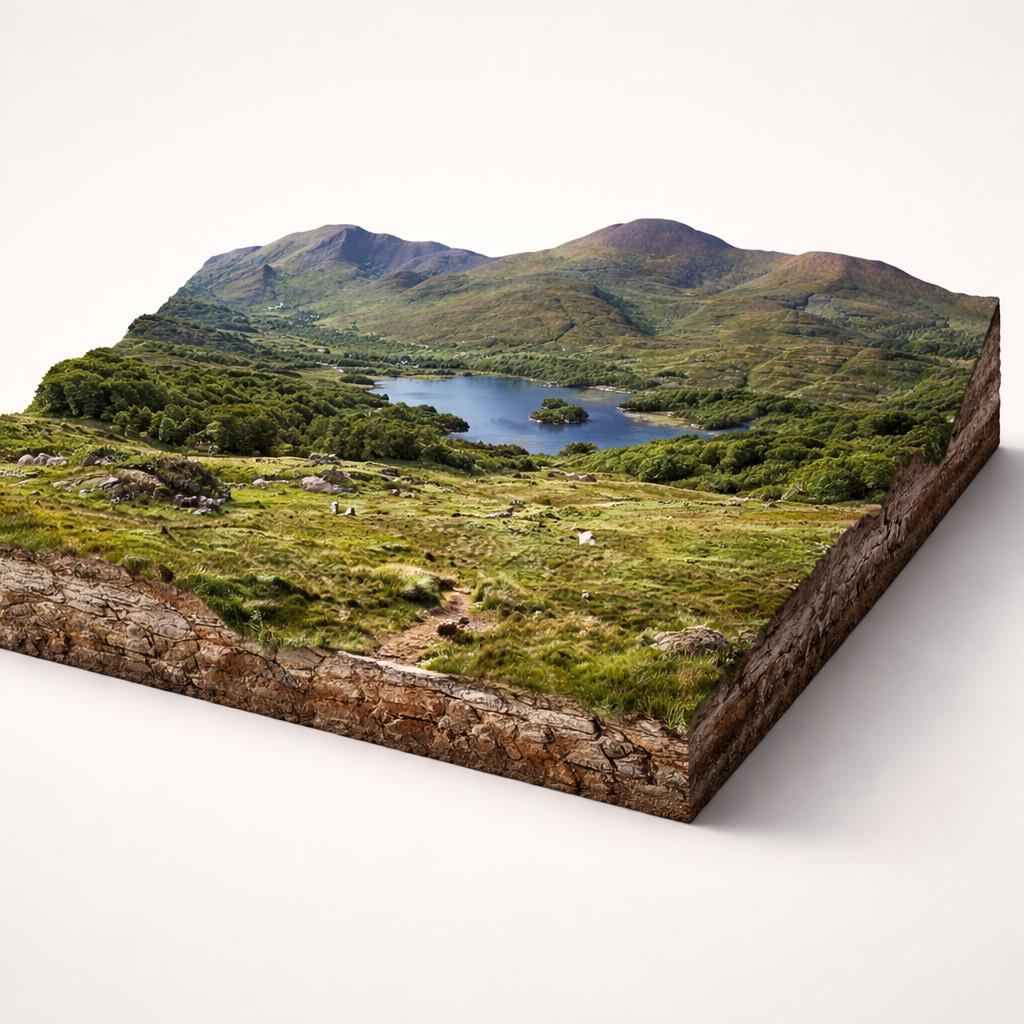
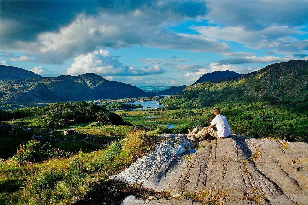
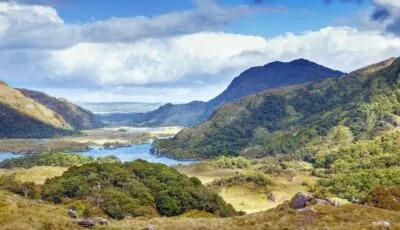
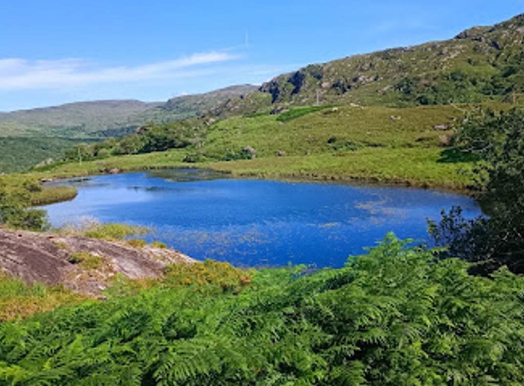
The most stopped-at lookout on the N71 between Killarney and Kenmare, where the Upper Lake, the wooded Long Range and the mountains of Killarney National Park fall away in one sweep. It takes its name from Queen Victoria's ladies-in-waiting, who admired the view here in 1861.
- Highlights
- One of Ireland's best-known scenic viewpoints
- Free admission and free parking
- Named after Queen Victoria's ladies-in-waiting, 1861
- Facilities
- Wheelchair access
10.Brandon Point
Cliff-top lookout with views to Tralee Bay
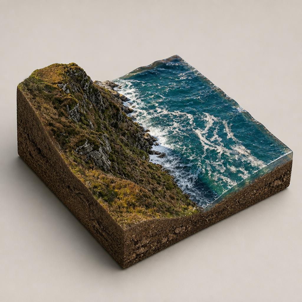
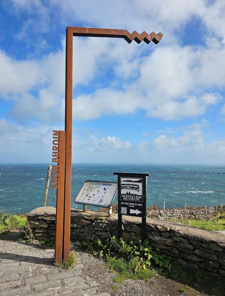
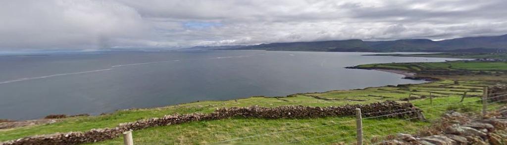
A Wild Atlantic Way discovery point at the foot of Mount Brandon, where a free car park opens straight onto a cliff-top lookout over Brandon Bay, the Maharees and Tralee Bay — and autumn gales deliver rare seabirds.
- Highlights
- Observation deck right beside the car park
- Panoramas over Brandon Bay, the Maharees and Tralee Bay
- Autumn skua and shearwater migration
- Facilities
- Good for kids · Wheelchair access
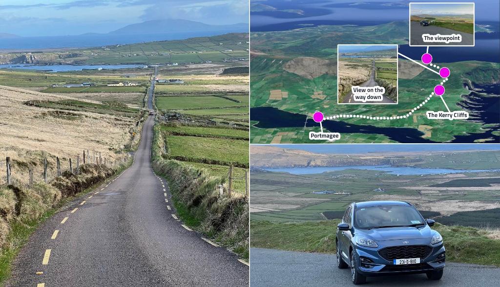
11.Cúm an Easpaig (Cliff View)
a 248 m pass with Skellig island views
Cúm an Easpaig, or Cliff View, is the Wild Atlantic Way Discovery Point where the Skellig Ring climbs to one of Ireland's highest coastal passes — a windswept pull-off with sweeping views to the Skellig Islands.
- Highlights
- Wild Atlantic Way Discovery Point
- Summit views to the Skellig Islands
- One of Ireland's highest coastal roads
- Facilities
- Good for kids · Wheelchair access
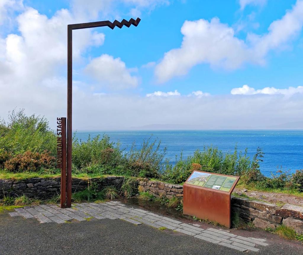
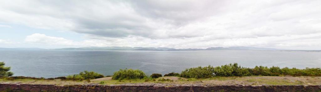
12.Mountain Stage Viewpoint
Sweeping Dingle Bay views from a free layby
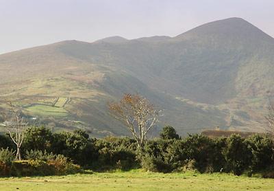
A free roadside pull-in on the Ring of Kerry where the whole of Dingle Bay, from Rossbeigh to the Dingle Peninsula, opens up in front of you.
- Highlights
- Free Wild Atlantic Way discovery point on the N70
- Wide views over Dingle Bay to the Dingle Peninsula
- Rossbeigh and Inch beaches visible to the right
- Facilities
- Wheelchair access
13.Bromore Cliffs
a 180-ft cliff walk with an Iron Age fort
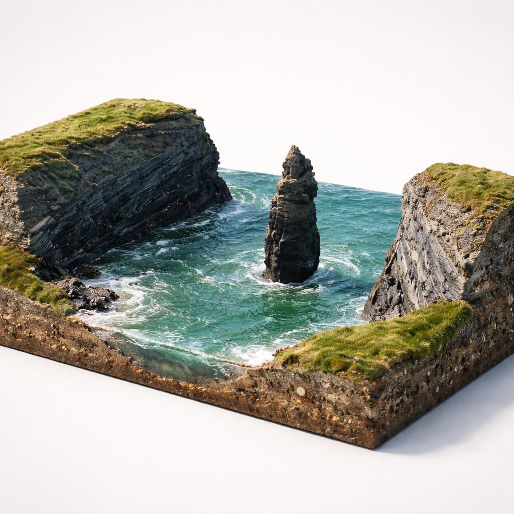
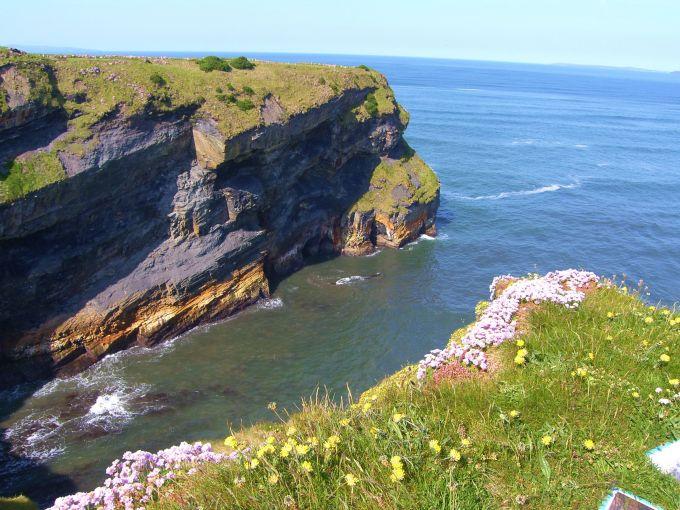
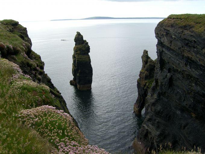
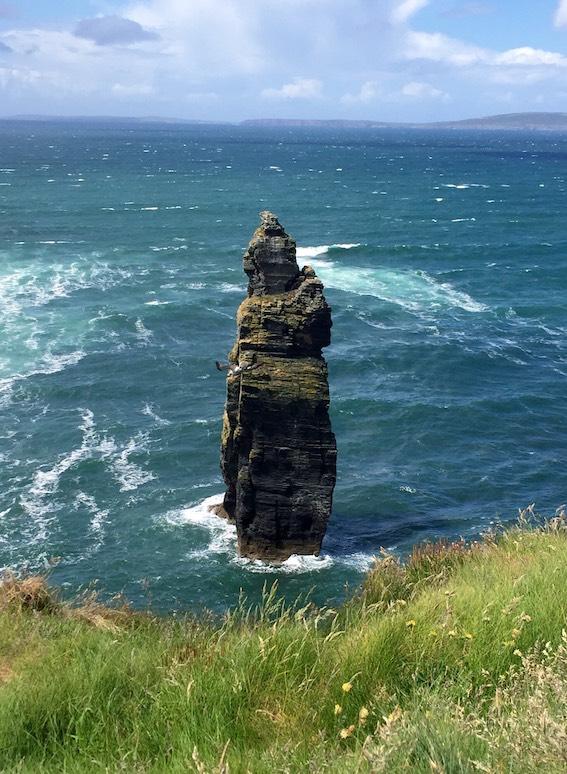
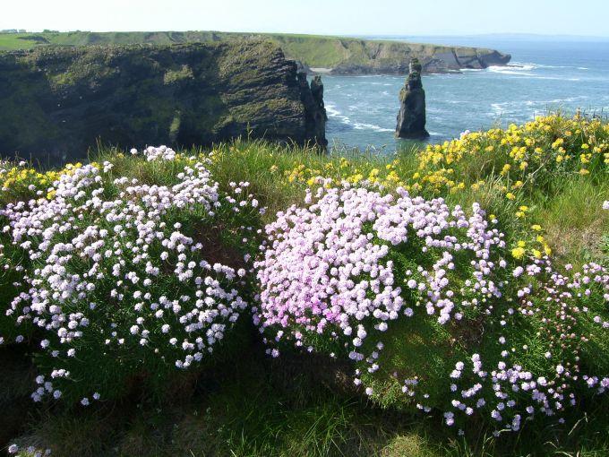
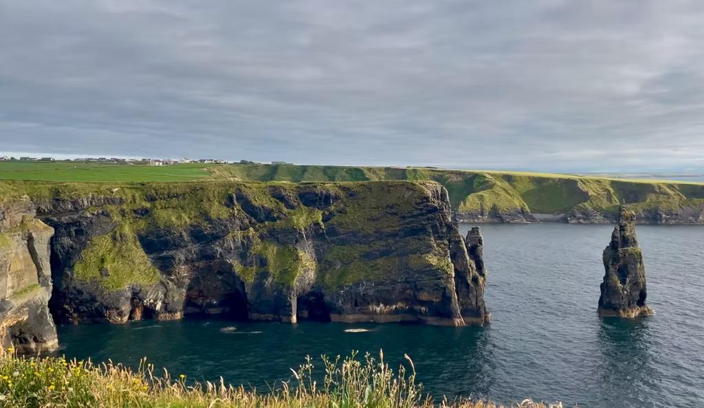
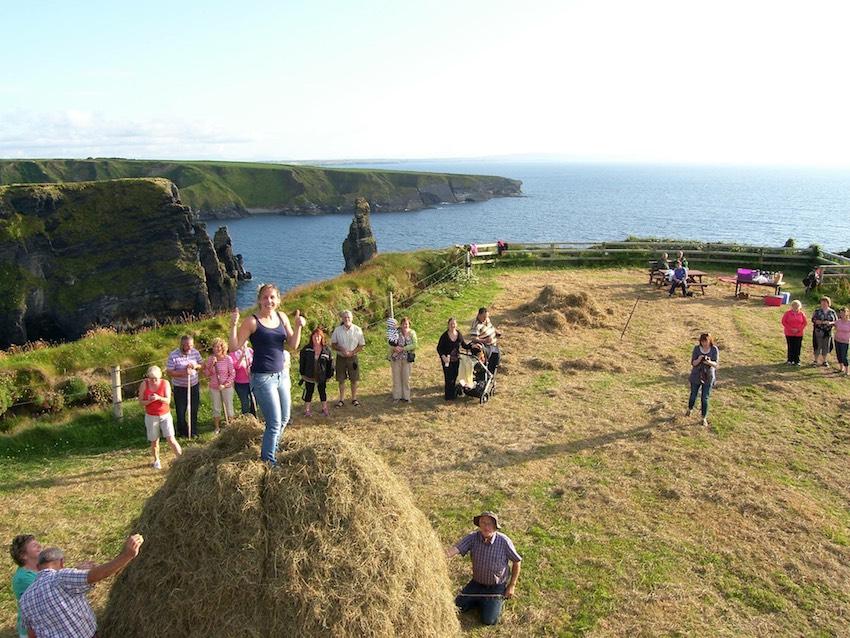
A working family farm opens its 180-foot sea cliffs to walkers on the Wild Atlantic Way, with a sea stack, an Iron Age cliff fort and a fraction of the crowds at the Cliffs of Moher.
- Highlights
- 180-foot sea cliffs on the Wild Atlantic Way
- The Devil's Castle sea stack, caves and arches
- Iron Age promontory fort used as a picnic viewpoint
- Facilities
- Wheelchair access
14.Ring of Kerry
a 179km loop of cliffs, lakes and stone forts
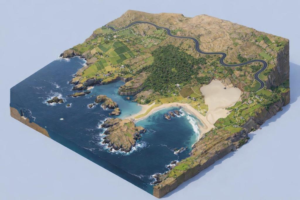
The Ring of Kerry is a 179km loop around the Iveragh Peninsula, stringing together Killarney's lakes, Atlantic cliffs, Iron Age forts and colourful villages. It is Ireland's most famous scenic drive — and its busiest, so how you tackle it matters.
- Highlights
- 179km / 111-mile circuit of the Iveragh Peninsula
- Ladies View over the Upper Lake and Purple Mountain
- Skellig Ring detour past Portmagee and the Kerry Cliffs