Glanteenassig Forest Park

Glanteenassig Forest Park
4.8 (633)
Glanteenassig Forest Park photo 1
Glanteenassig Forest Park photo 2
Glanteenassig Forest Park photo 3
See all
Glanteenassig Forest Park photo 4
See all

About

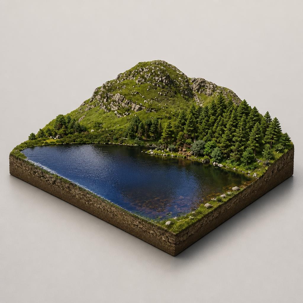
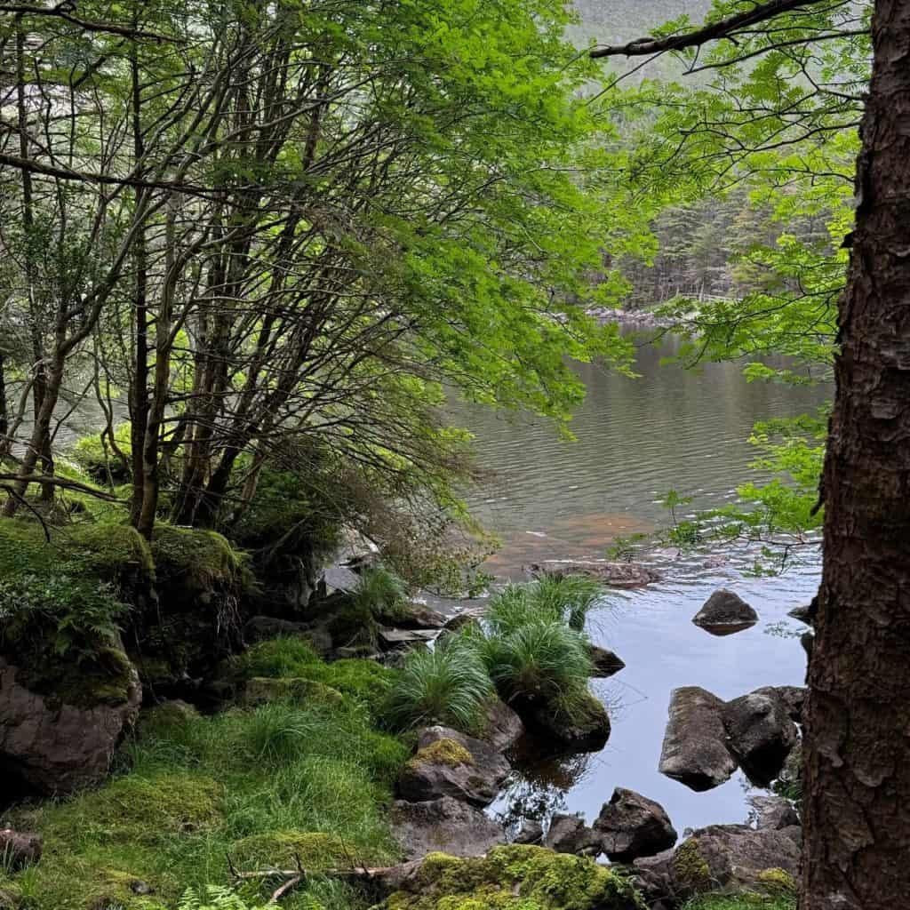
A remote 450-hectare Coillte forest park in a sheltered valley below the Slieve Mish mountains, where boardwalk trails loop two lakes and the views stretch across Brandon and Tralee Bays to the Maharees.

Things to Do

Lough Caum Loop

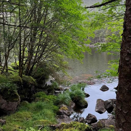
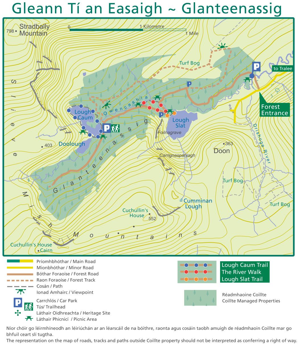
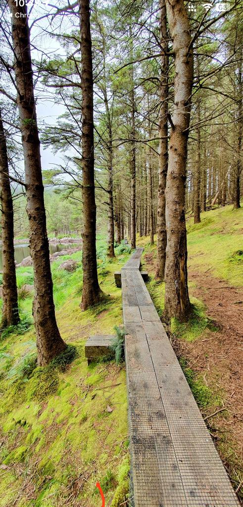
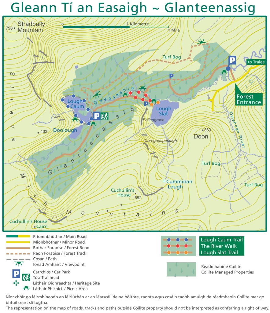
The signature walk: a 2 km, roughly 1-hour moderate loop on a bog-bridge boardwalk that encircles Lough Caum, bounded by Stradbally Mountain, Beenoskee and Reamore Hill. The planks are narrow, uneven and slippery after rain, and there are steps, so sturdy footwear is essential; it is not suitable for prams or wheelchairs.

Lough Caum Loop

River Trail

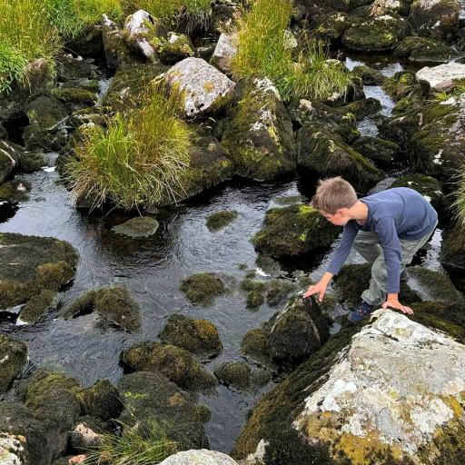
An easy 1.1 km (30-minute) trail along the feeder stream for Lough Slat, past picnic tables, with a shallow stream crossing and rocks the kids can climb. Start from the car park near the timber bridge.

River Trail

Lough Slat viewpoint

A short 300 m 'access for all' path (about 5 minutes) leads down to the tranquil lake and the looming crag of Carrignaspaniagh, or Spaniards Rock, which features in local folklore.

Lough Slat viewpoint

Waterfalls and nature

The name means 'Valley of the Waterfalls' — after rain, water streams off the Slieve Mish mountainsides. Look out for sheep, birdlife and the plantation forest of Sitka spruce, larch and beech dating mostly from the 1950s and 60s.

Waterfalls and nature

Fishing

Both lakes can be fished with the appropriate licence and permit, which you must arrange locally. Swimming in Lough Caum is possible but unsupervised, and the water is peat-stained brown.

Scenic drive

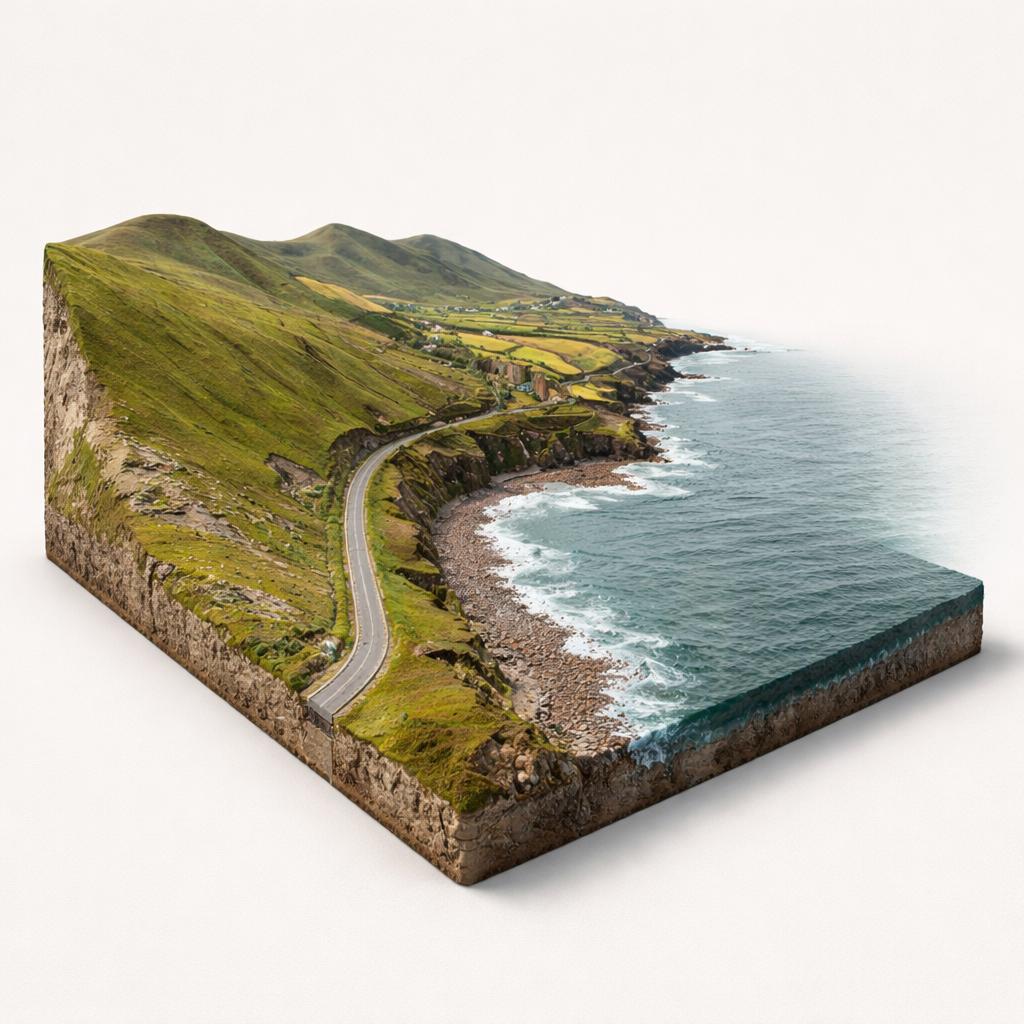
Drive the narrow, unsurfaced road up past the forest entrance for mountain-and-ocean views over Brandon and Tralee Bays, taking in the Slieve Mish mountains and the Maharees.

Plan Your Visit

  • Hours: Daily, 08:00–22:00 in summer and 08:00–18:00 in winter; closed overnight with no camping. Gates lock at closing — check the sign at the car park, as there is a call-out fee to have them reopened.
  • Admission: Free entry for walkers and cyclists
  • Parking: Free car parks at the forest entrance and beside Lough Caum; the main lot is small and fills early on fine days. Parking is also available at the lower, middle and upper car parks along the access road.
  • Food: None on site — bring food and water and carry out your litter. Nearest pit stops for supplies are Aughacasla village and Castlegregory, about 9 km away.

Getting Around

Map

Watch More

See it on the map

Load the interactive map to explore this place location.

Nearby places