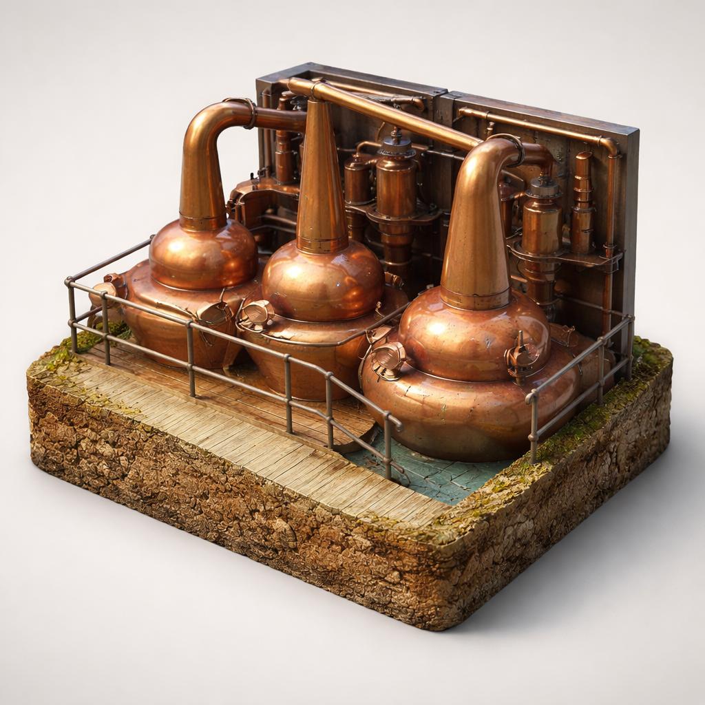
Drive the pass
The R560 crosses the mountains for 12 km between Dingle town and Kilmore Cross, climbing to about 456 m. The road is narrow and twisting and tightest at the top, so go slowly and use the lay-bys to let oncoming traffic past.
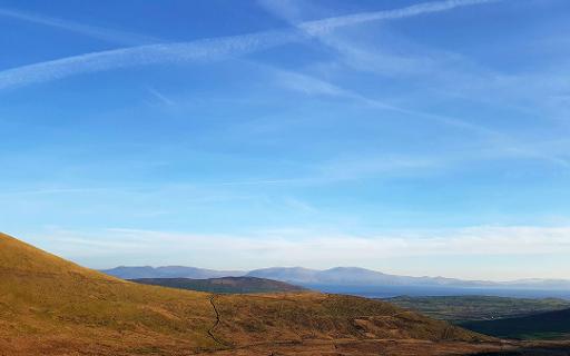
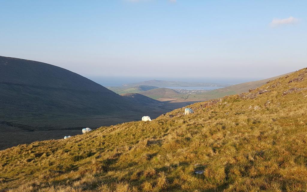
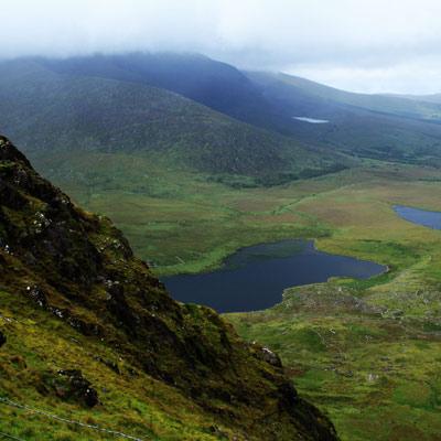
An Chonair, or Conor Pass, is the highest mountain pass in Ireland — a narrow, twisting road over the Dingle Peninsula with corrie lakes, a waterfall and sweeping views to the Atlantic on both sides.
The R560 crosses the mountains for 12 km between Dingle town and Kilmore Cross, climbing to about 456 m. The road is narrow and twisting and tightest at the top, so go slowly and use the lay-bys to let oncoming traffic past.
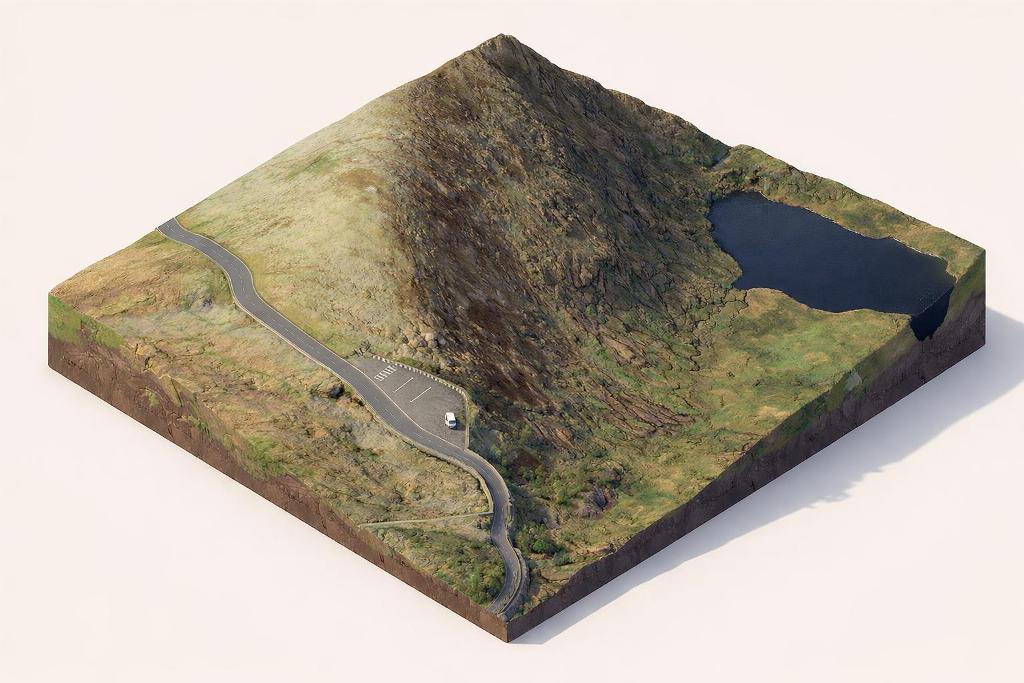
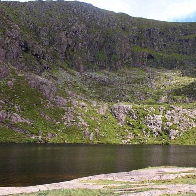
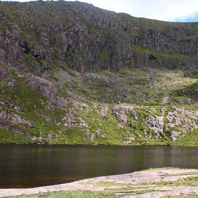
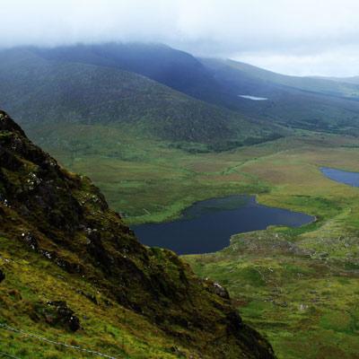
A rocky scramble above the north-side car park leads up to this corrie lake sitting in a steep hollow — the most accessible place to read the ice-carved landscape, with its striated rock lip and boulder-strewn moraines.
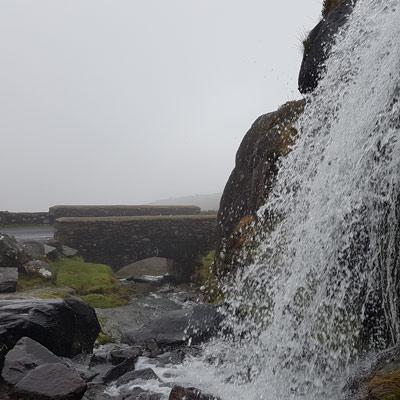
After heavy rain, water sheets down the mountains, and the road passes close to a waterfall on the north side, where a small pull-in and viewing area sits beside the stone bridge, directly below Lough Doon.
Below the road the whole ice-shaped valley opens out, holding moraine-dammed and kettle-hole lakes, with Lough Doon's corrie cliffs above. The pass is a textbook example of glaciated mountain scenery.
A small car park marks the highest point and a Wild Atlantic Way discovery point. Look south over Dingle Bay to the Iveragh peninsula and the Skelligs, north to Kerry Head and Loop Head, and on the clearest days as far as the Aran Islands.
A short walk of about 20 minutes from the summit car park reaches the hidden lake above the road, and the bicycle ascent over the pass is one of the most famous and demanding climbs in Ireland. Walkers and cyclists share the narrow road with traffic.
Load the interactive map to explore this place location.