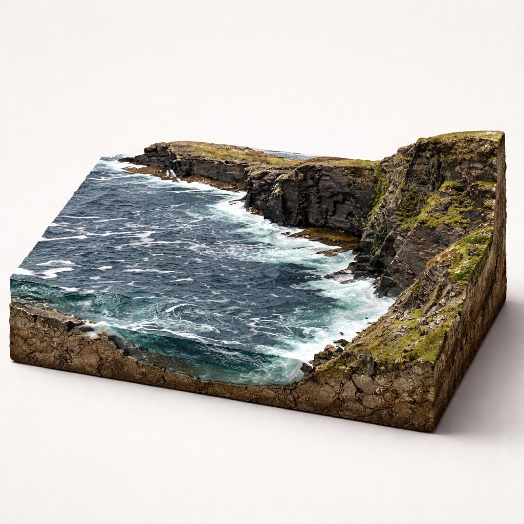
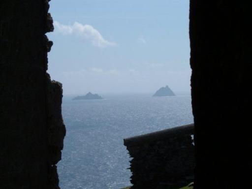
Skellig Islands viewpoint
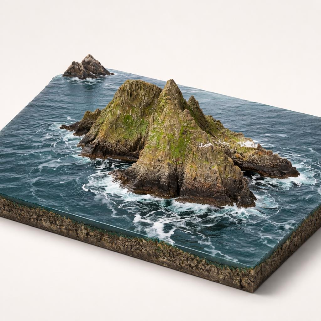
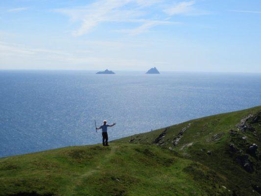
The headland's signature payoff is the panorama west to the Skellig Islands — a UNESCO World Heritage Site and a Star Wars filming location — plus Horse and Long Islands and the Iveragh Peninsula.
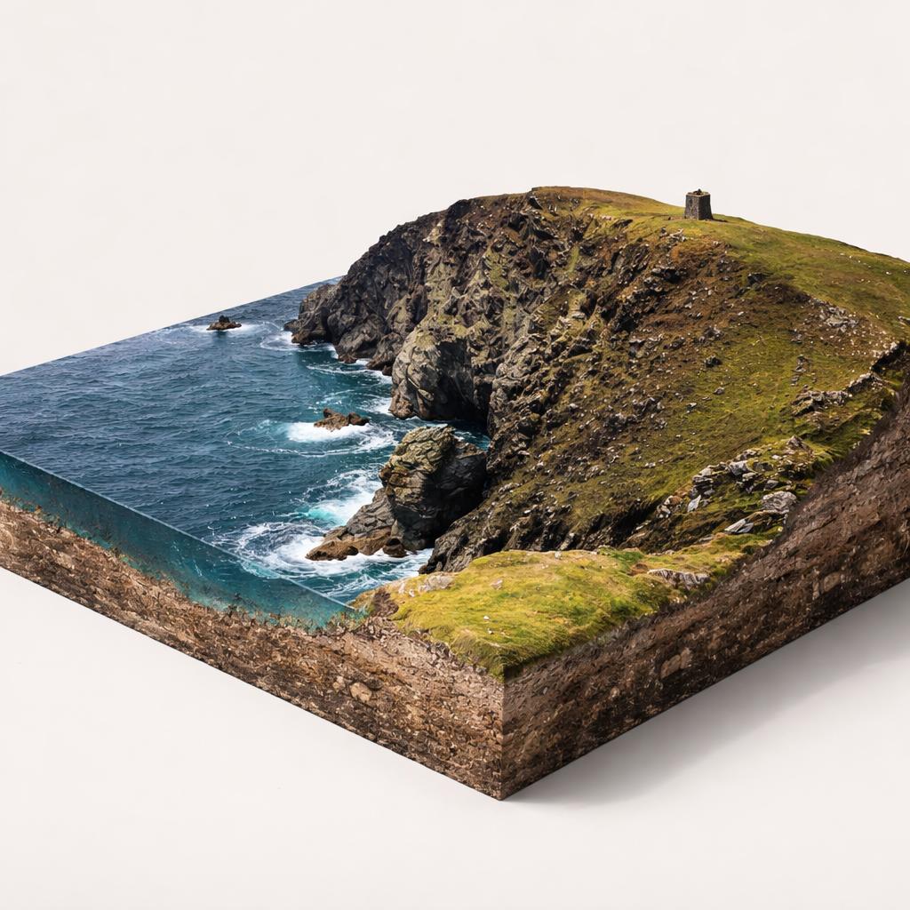
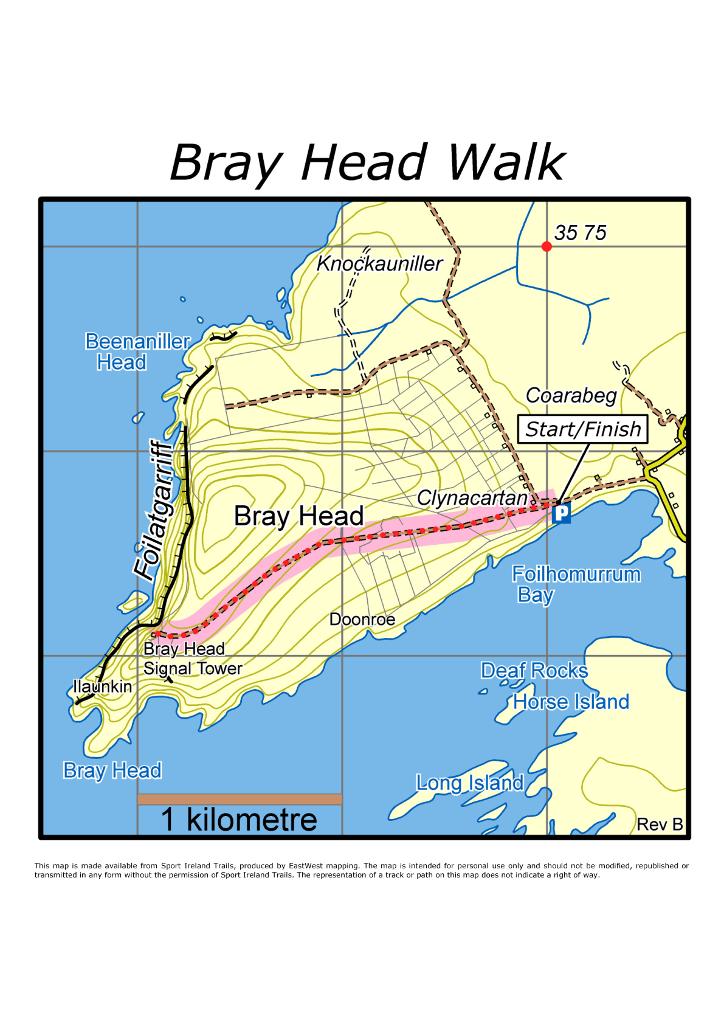
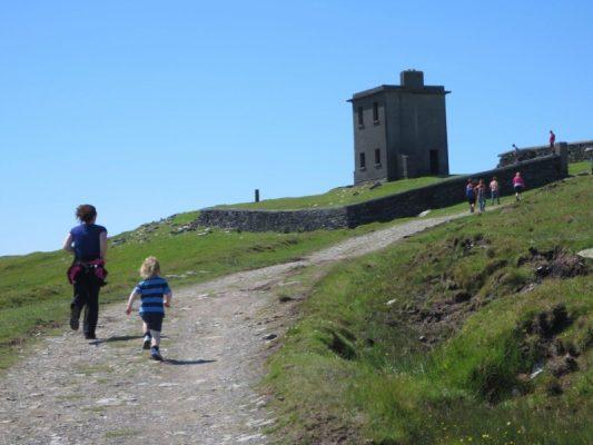
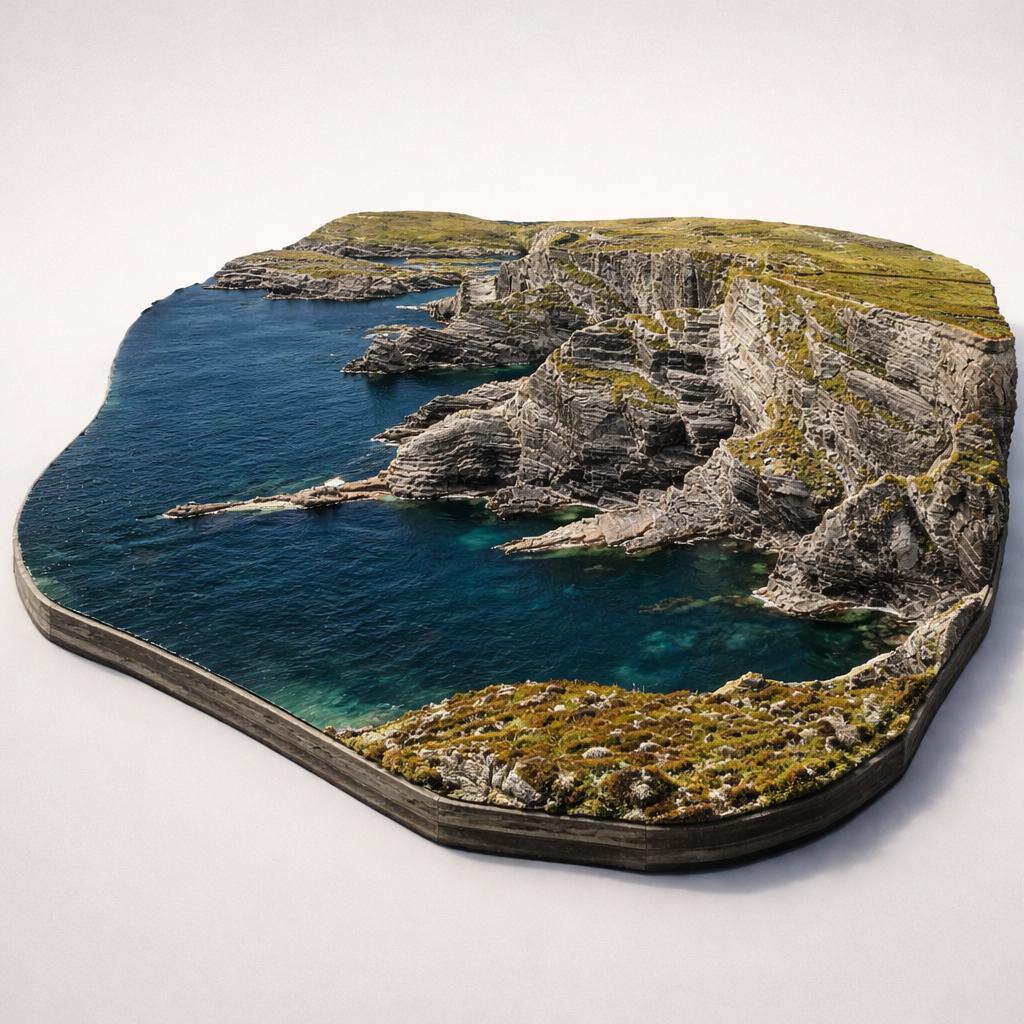
A wild Atlantic headland on the western tip of Valentia Island, where a steady climb past an 1815 signal tower rewards you with cliff-top views out to the Skellig Islands.
The headland's signature payoff is the panorama west to the Skellig Islands — a UNESCO World Heritage Site and a Star Wars filming location — plus Horse and Long Islands and the Iveragh Peninsula.
From the car park, follow the old access road on a steady 2 km climb of about 114 m to the tower. It is a moderate there-and-back walk — allow around 45 minutes up and 25 minutes back down.
At the summit stands Bray Tower, a two-storey signal tower built by English forces in 1815 during the Napoleonic Wars, later reused by the Navy in 1907 and for coastal watches in WWII.
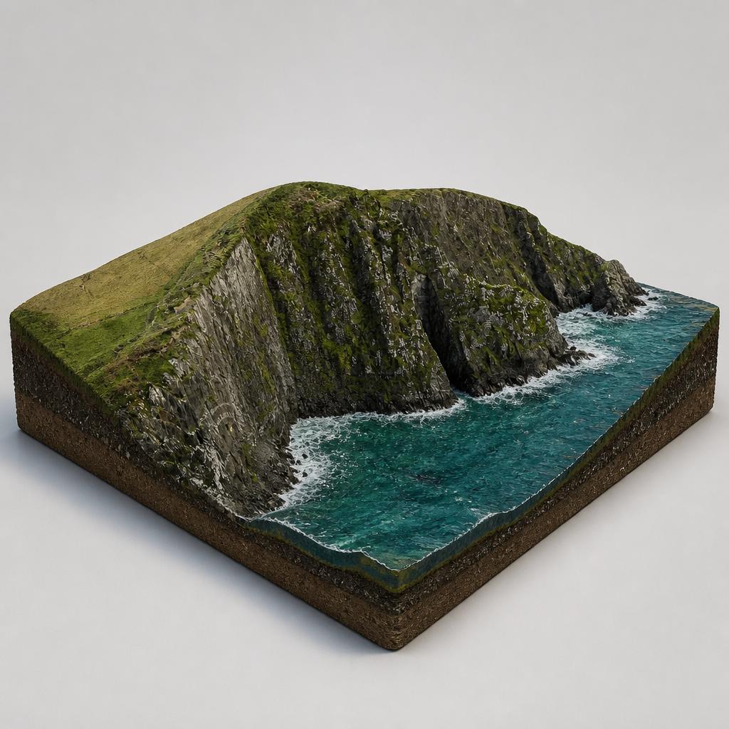
Beyond the tower the headland opens onto sheer, exposed cliffs over the Atlantic. The cliffs are unfenced, so keep children close and enjoy the sea views along the route back.
Look out for five ruined dry-stone buildings with 12 decorated stones and crosses from early Christian times, the WWII-era word EIRE spelled in stones below the tower, and the 1866 first transatlantic cable landing site near the car park.
The path runs through working farmland, so you may meet sheep and cattle. From the cliffs, watch for dolphins and whales below and seabirds around Puffin Island.
There is no café on the route, so bring a picnic and eat among the views at the tower or back at the car park before heading into Portmagee or Valentia's cafés.
Load the interactive map to explore this place location.