The Skellig Ring
8 stops · 1 h 7 m driving · Kerry · Updated August 2026
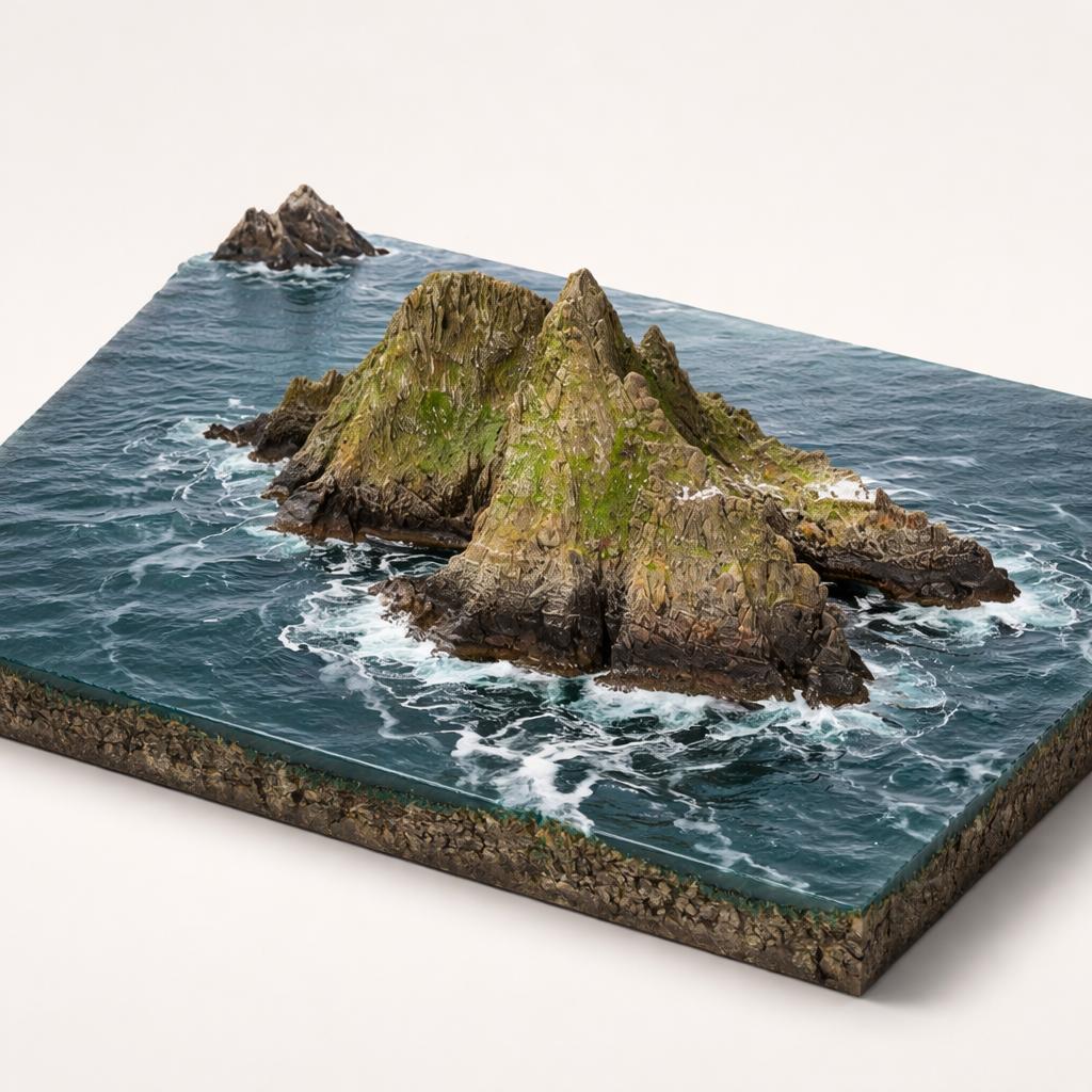
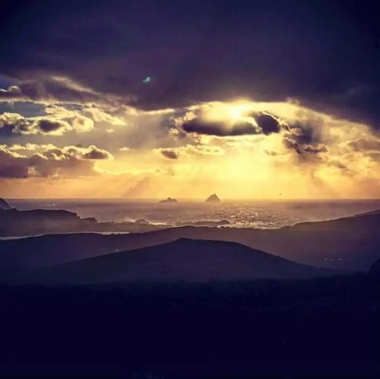
Open in Google MapsSouth-west Kerry's Iveragh Peninsula ends in a tangle of narrow roads that loop around Valentia Island, Portmagee and the bays beyond — the Skellig Ring, a detour off the Ring of Kerry that faces one thing: the two jagged islands of Skellig Michael and Little Skellig rising out of the Atlantic. This route follows that loop in a circle, opening at the cliffs that give the closest land-based views of the islands, moving on to the boats that carry you to them, crossing to Valentia's headlands and fossil shore, then dropping back to the coast at the surf beaches below. Roads are narrow and winding in places; boat trips are weather-dependent and book out; the islands themselves are the reason the loop exists. Start at the cliffs, where the Skelligs first come into view.


1.Kerry Cliffs (Aillte Chiarraí)
Closer to the Skelligs than anywhere on land
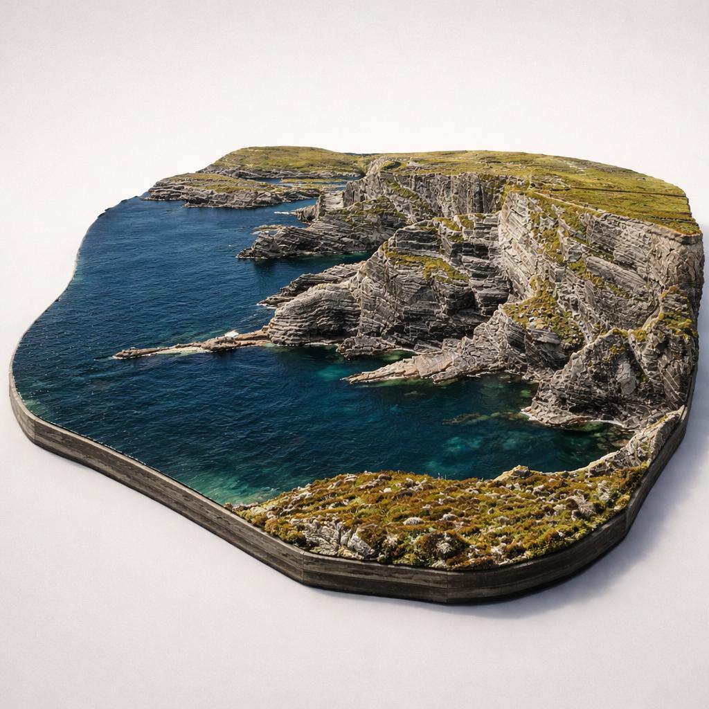
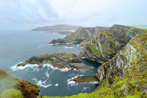
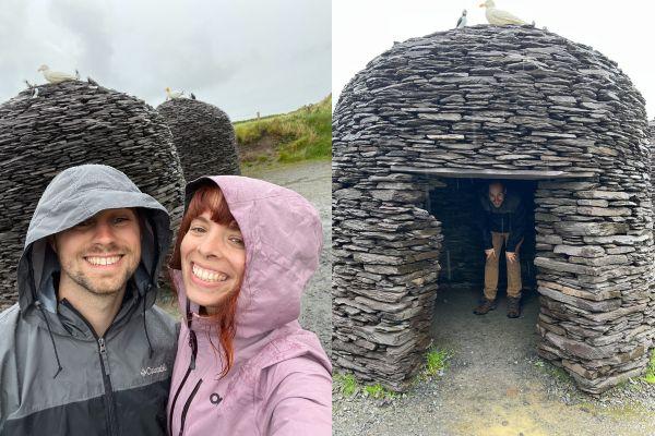
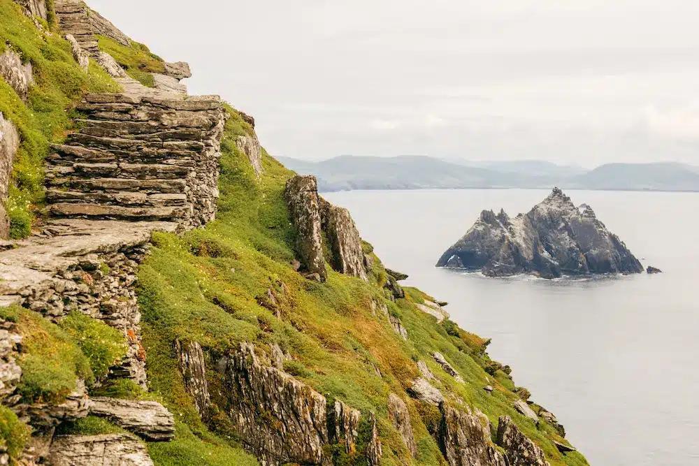
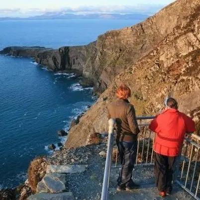
The route starts high: a gravel path climbs to fenced platforms more than 300 m above the Atlantic, where the UNESCO-listed Skellig Islands sit directly ahead. Puffin Island is visible offshore, and replica beehive huts en route preview the monastic stonework you'll see up close later. It's the closest mainland viewpoint — and a far quieter one than Ireland's better-known cliffs.
- Tip
- Parking is about 200 metres from the cliffs, and the entry fee includes parking plus a discount in the on-site coffee shop.
↓ 6 min drive · 2.7 km
2.Casey Skellig Michael Tours
Sixty years, two ways to reach the islands
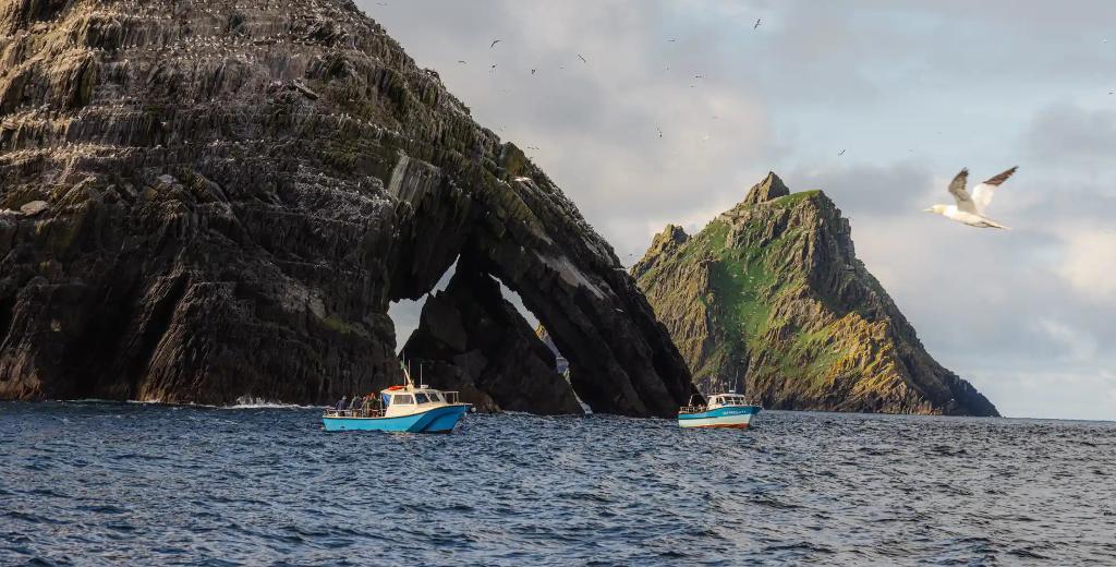
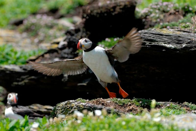
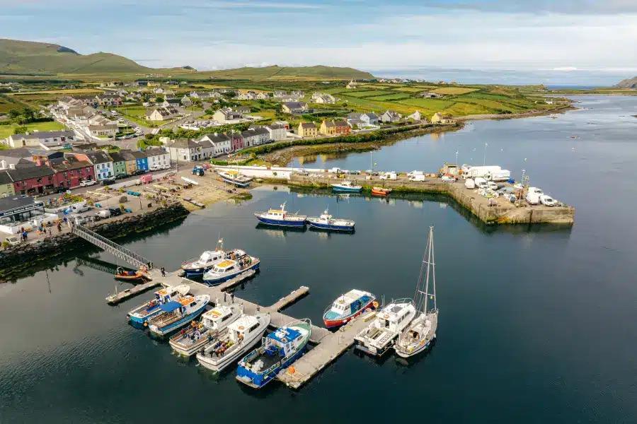
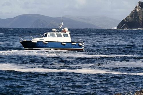
This is where the Skelligs stop being a view. A family-run operator with six decades on these waters offers a landing tour — 618 uneven stone steps to a 6th-century monastery — or a cruise that circles both islands, passing within metres of one of the world's largest gannet colonies. Puffins crowd the lower slopes in late spring.
- Tip
- Advance booking is essential — landing tours often sell out months ahead, and only 180 landing permits are issued per day across all operators.
↓ 2 min drive · 0.8 km
3.The Skellig Experience Visitor Centre
The Skellig story, told under cover
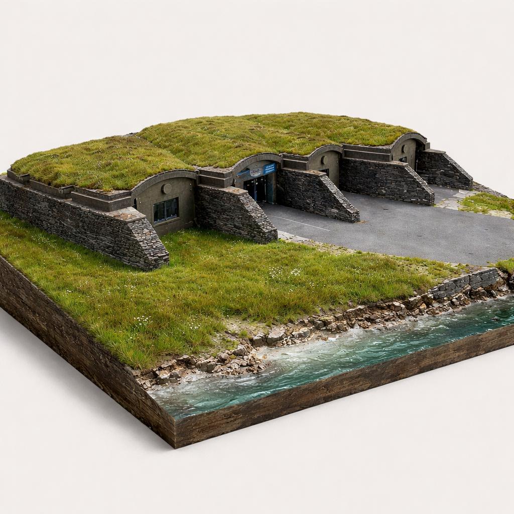
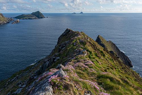
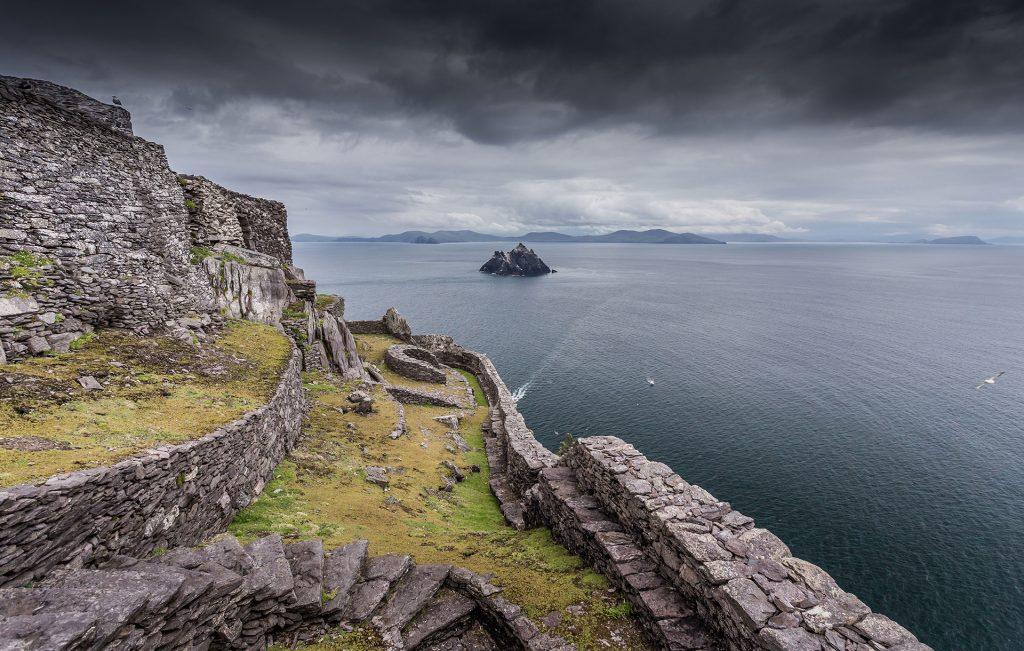
After the exposed headland, this waterfront centre on Valentia Island brings the same islands indoors: a 14-minute immersive film, re-creations of the monks' world, a life-size seabird colony, and Star Wars filming exhibits. In summer its own jetty launches boat trips around the islands — the place to make sense of the Skelligs between sailings.
- Tip
- The car park closes at 5pm, so plan the exhibition around your boat trip rather than after it.
↓ 5 min drive · 2.4 km
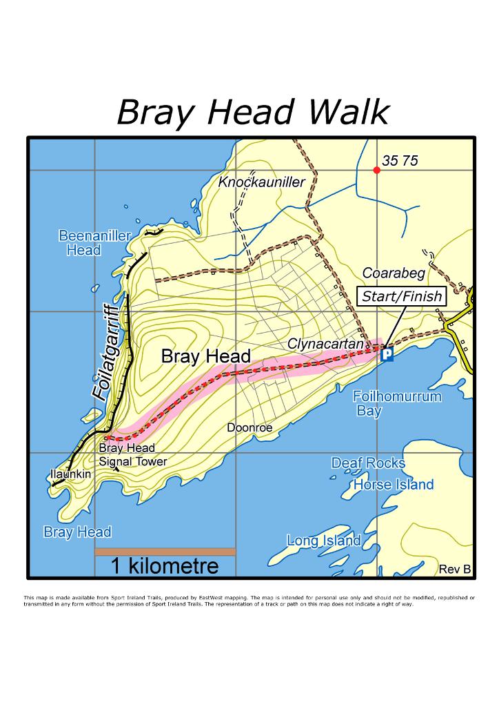
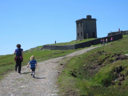
4.Bray Head (Co. Kerry) Loop Walk(Siúlóid Lúb Ceann Bhré)
A tower, an ÉIRE sign, and island views
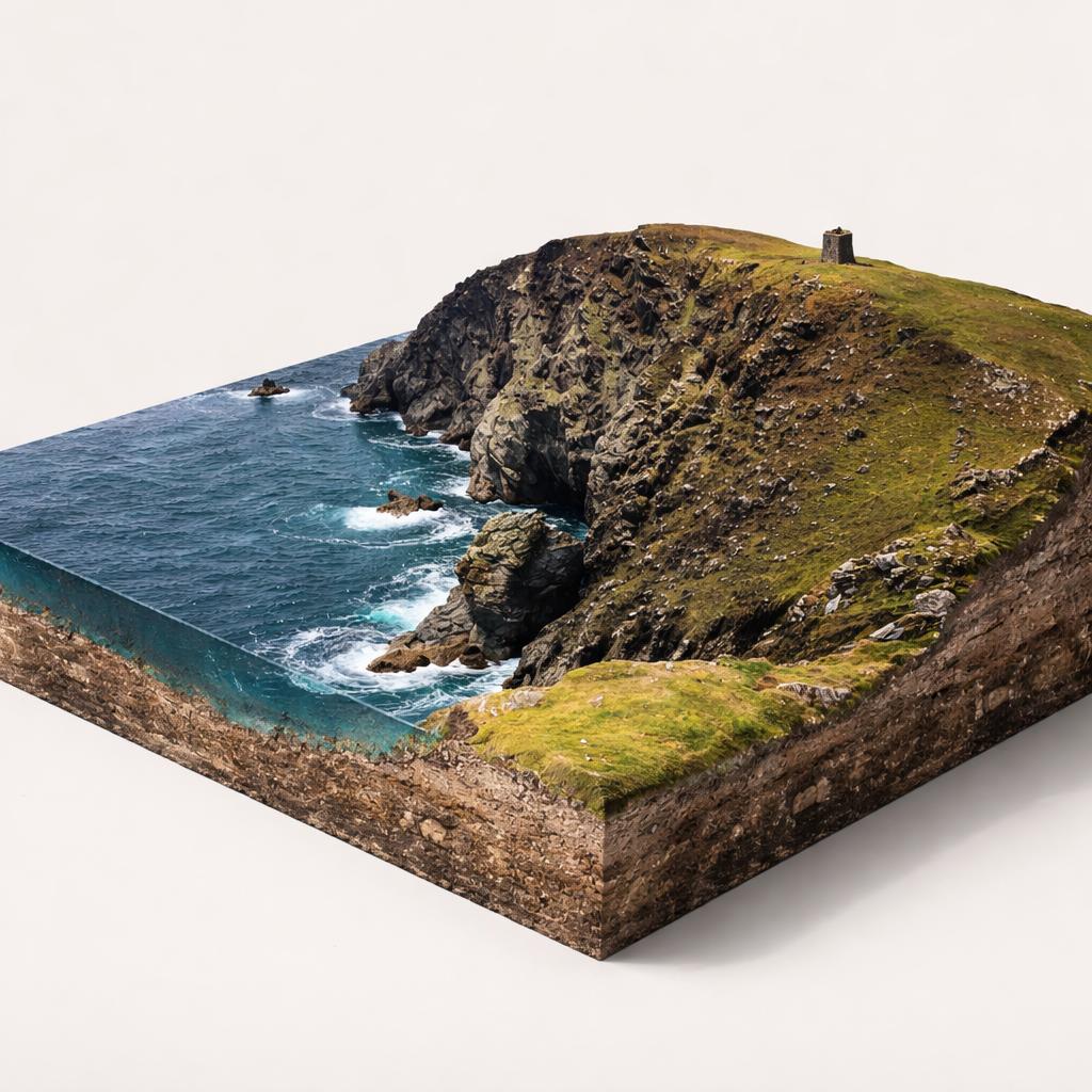
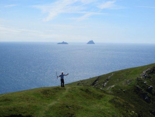
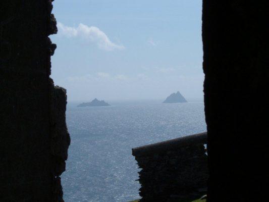
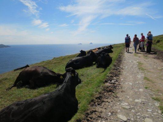
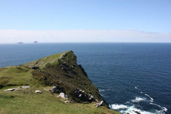
A steady 2 km climb on Valentia Island's western tip leads to an abandoned 1815 Napoleonic signal tower. From the summit, the Skelligs, Blasket Islands and Dingle Peninsula line the horizon; just below, the word 'ÉIRE' is laid out in stone for WWII pilots. Early Christian ruins sit halfway up — easy to miss if you're not looking.
- Tip
- Parking costs €2 in coins only — bring change; the walk itself is free.
↓ 9 min drive · 4.3 km
5.Geokaun Mountain and Cliffs
A summit you can drive to
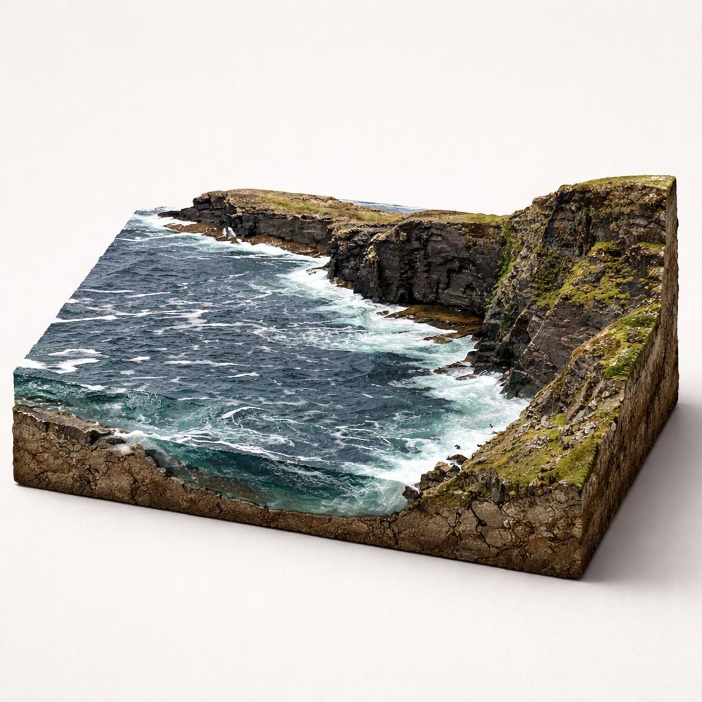
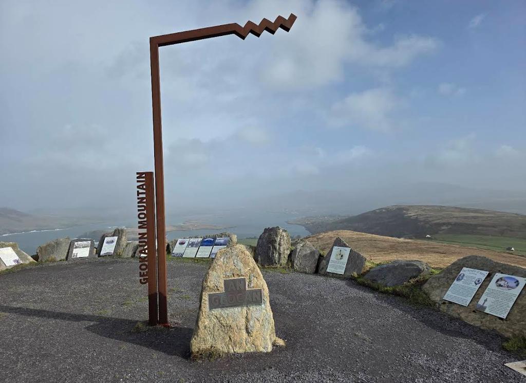
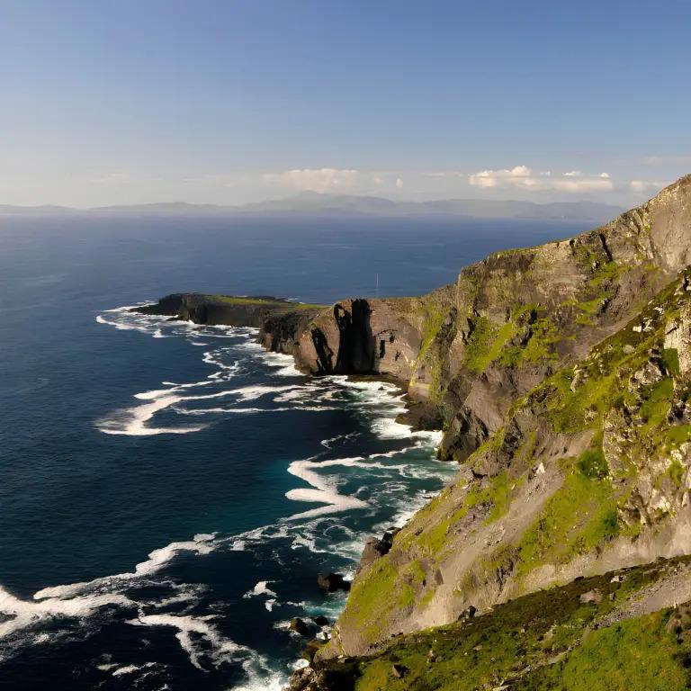
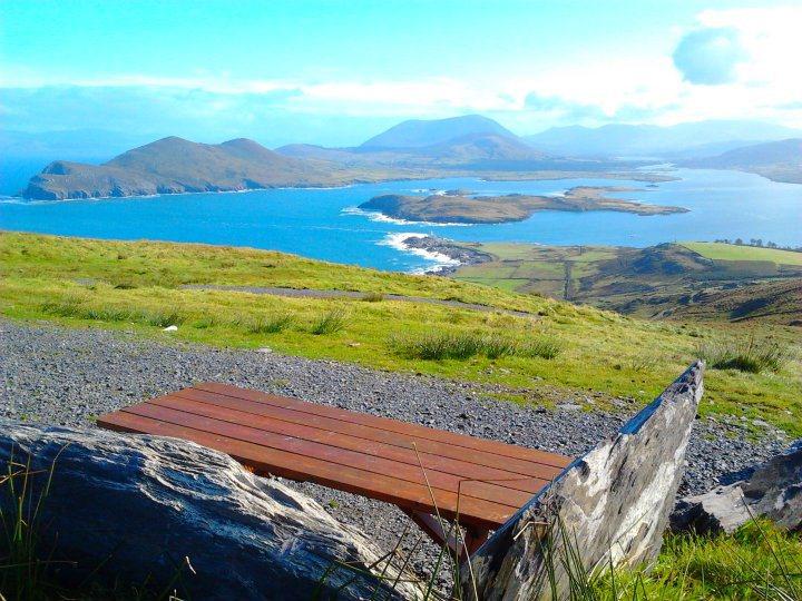
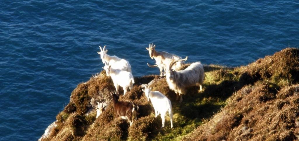
The highest point on Valentia Island, reached by road rather than boot leather. From 266 m the view wraps around — Skelligs, Blaskets, Dingle, the MacGillycuddy's Reeks — and the 600 ft Fogher Cliffs drop to a secure viewing deck. A 1.5 km loop walk suits anyone who wants the panorama on foot, and wild goats roam the slopes.
- Tip
- Pay at the self-service machine at the entrance gate and display the ticket on your dashboard — €8 per car.
↓ 7 min drive · 3.4 km
6.The Valentia Island Tetrapod Footprints
Footsteps from 385 million years ago
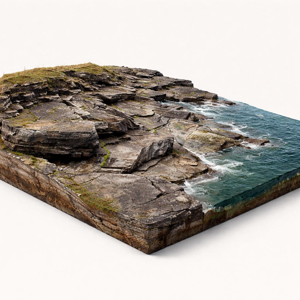
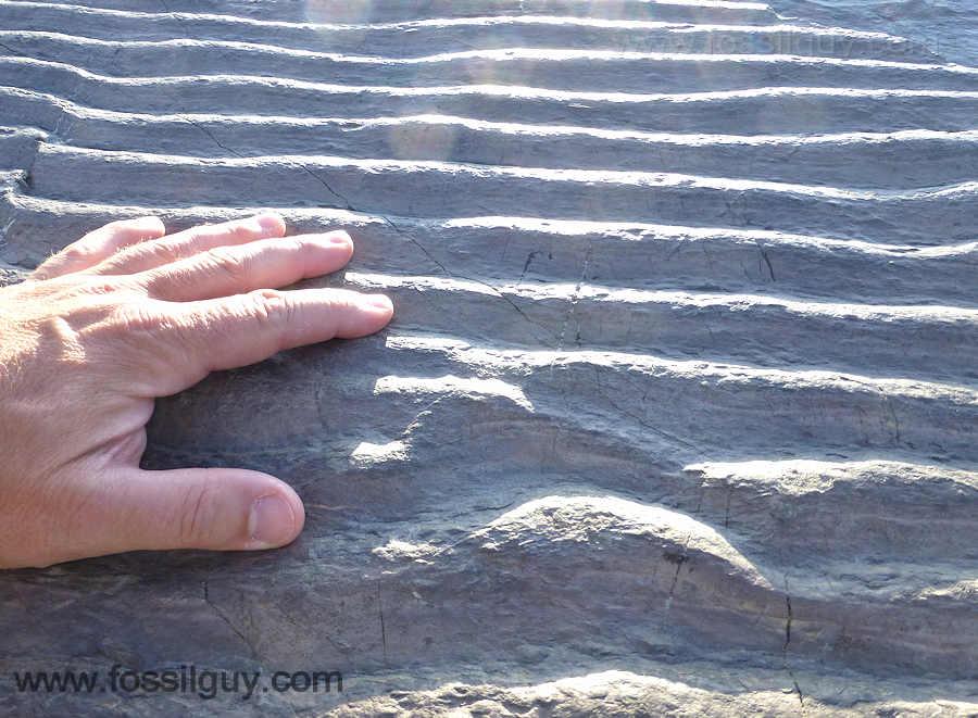
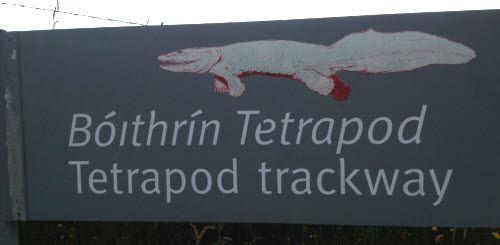
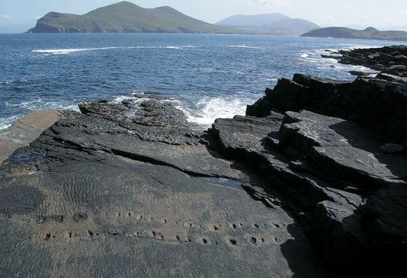
A short, steep path drops to a rocky shoreline where shallow depressions in the sandstone trace a 15-metre curve — the longest known early tetrapod trackway, one of only four of its kind worldwide. Ripple marks from a Devonian river floodplain surround it. Come in low light, when shadows make the prints visible.
- Tip
- Best at low tide and in dry weather — the rocks become very slippery when wet, and low-angled morning or late-afternoon light shows the prints best.
↓ 27 min drive · 16 km
7.Bá Fhíonáin /St. Finian's Bay
Wild surf under the Skelligs' shadow
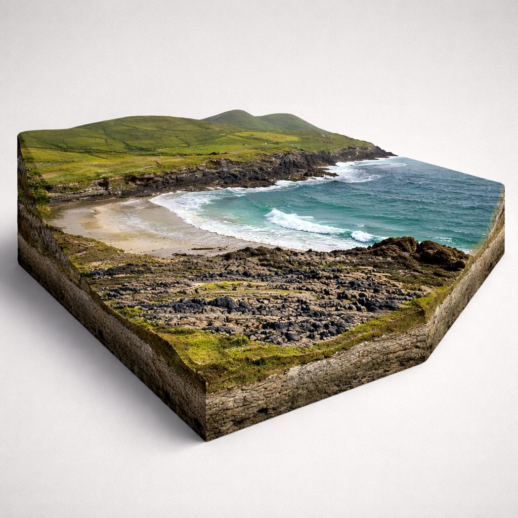
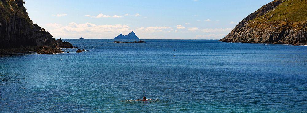
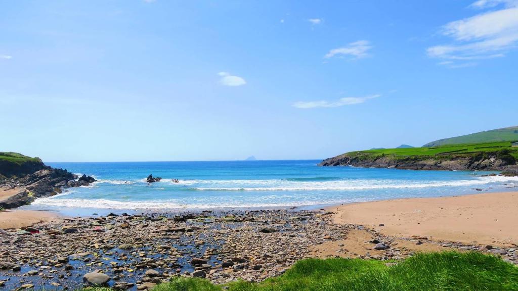
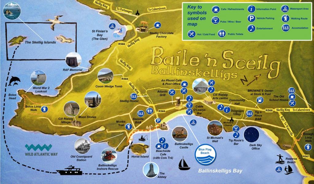
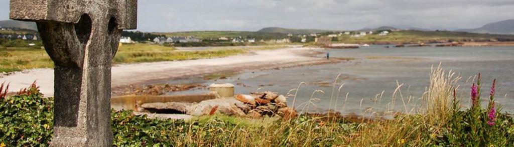
The road drops off Valentia and returns to the open coast at a crescent cove where Atlantic swells roll in beneath the Skellig Islands. It's raw and uncommercialised — serious waves for experienced surfers, a pier for dive boats, and, 300 metres inland, a family-run chocolate factory with free tastings. This stretch of coast sits inside the Kerry Dark-Sky Reserve.
- Tip
- Skelligs Chocolate is 300 metres from the beach, open daily 10am–5pm, with free tastings and no booking needed.
↓ 11 min drive · 6.9 km
8.Ballinskelligs Beach
Castle, priory and Blue Flag strand
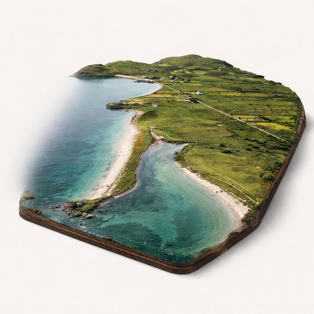
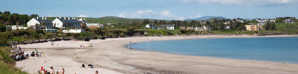
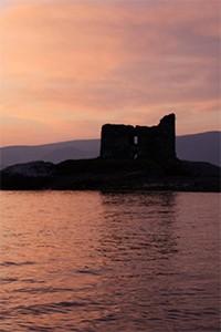
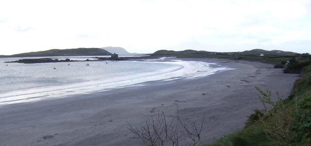
The route ends on a golden Blue Flag beach where a climbable 16th-century tower house stands on a rocky isthmus and a 12th-century priory — where Skellig Michael's monks relocated — overlooks the bay. Shallow, calm, lifeguarded water in summer, and a Gold Tier dark-sky reserve overhead on clear nights.
- Tip
- A free beach wheelchair is available in July and August but must be booked in advance on 087 296 5874.
Frequently asked questions
Can I land on Skellig Michael from this route?
Yes, in summer. Landing tours run from Portmagee and the Skellig Experience centre between 9 May and 30 September, weather permitting. You climb 618 stone steps to the 6th-century monastery, but only 180 landing permits are issued per day across all operators — book months ahead.
When do the boat tours run?
The eco cruise season runs from 29 April to 4 October, with three daily departures at 10:00, 12:30 and 15:00. Landing tours run 9 May to 30 September with one daily departure. All sailings depend on Atlantic weather, which can cancel trips at any point in the season.
Is the route passable outside summer?
Largely yes, with two caveats: Kerry Cliffs is typically closed from January to March, and the Skellig Experience centre is closed December to February. The Valentia car ferry runs April to October only, but the toll-free bridge from Portmagee gives year-round access.