The Wild Edge of Loop Head
3 stops · 10 min driving · Clare · Updated August 2026
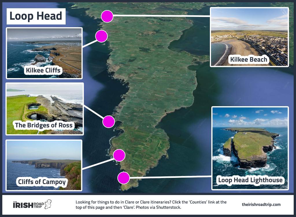
Open in Google MapsThis route follows the last kilometres of the Loop Head peninsula in west Clare, out to the Atlantic tip and back along its northern edge. Three stops share one stretch of coastline: the lighthouse at the point, the unguarded cliffs that wrap around it, and the lone sea arch at Ross Bay. The peninsula is remote — there are no services between Kilkee and the tip — and the winds can be fierce, so bring sturdy boots and dress for the weather. Book the lighthouse tower tour ahead; capacity is limited to twelve per tour. The cliffs and the arch are free and open year-round, while the lighthouse, its toilets and the coffee dock close from November to mid-March.
1.Loop Head Lighthouse
The 74-step climb above the Atlantic
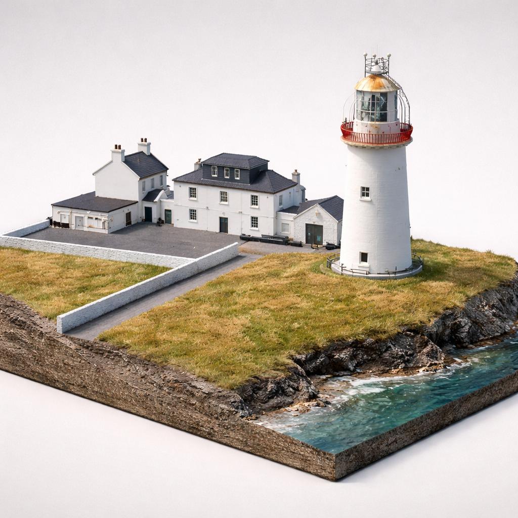
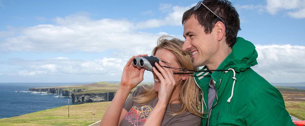
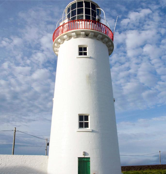
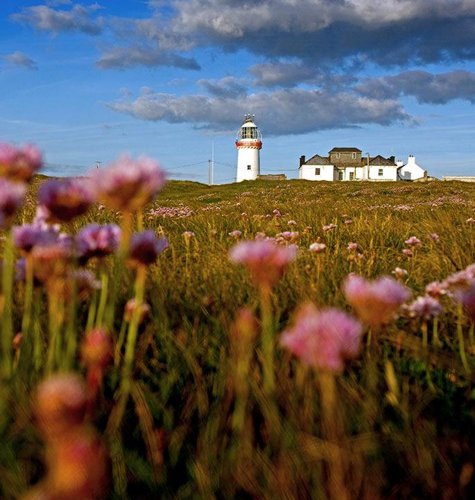
Start at the point of the peninsula, where a lighthouse has stood since 1670. Climb the 74 steps to the balcony 90 metres above the Atlantic — on a clear day the Blasket Islands and the Twelve Pins are both in view — then take in the keeper's cottage exhibition. The clifftop walk to the wild headland cliffs begins right here.
- Tip
- Pre-book the tower tour — capacity is limited to 12 per tour, and walk-ins are not guaranteed.
↓ 3 min drive · 1.9 km
2.Cliffs of Campoy
Raw cliffs, the ÉIRE sign, a sea stack
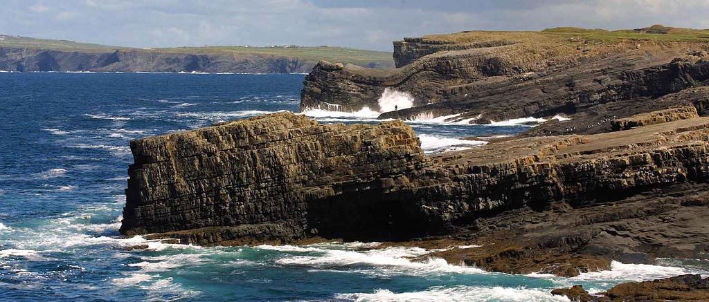
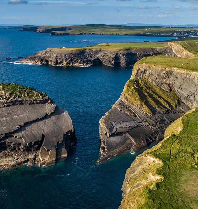
From the lighthouse car park, walk north along the cliff edge for the best of the headland's wild cliffs — unguarded and unfenced, with the Atlantic doing all the drama. Behind the lighthouse, the huge white ÉIRE letters mark the turf, and Diarmuid & Grainne's Rock stands nearby. The ground is boggy underfoot; sturdy boots are the difference between enjoying this and not.
- Tip
- The cliffs are open 24/7 year-round; outside lighthouse opening season there are no services nearby, so bring water and food with you.
↓ 7 min drive · 4.1 km
3.Bridges of Ross
The last of the three sea arches
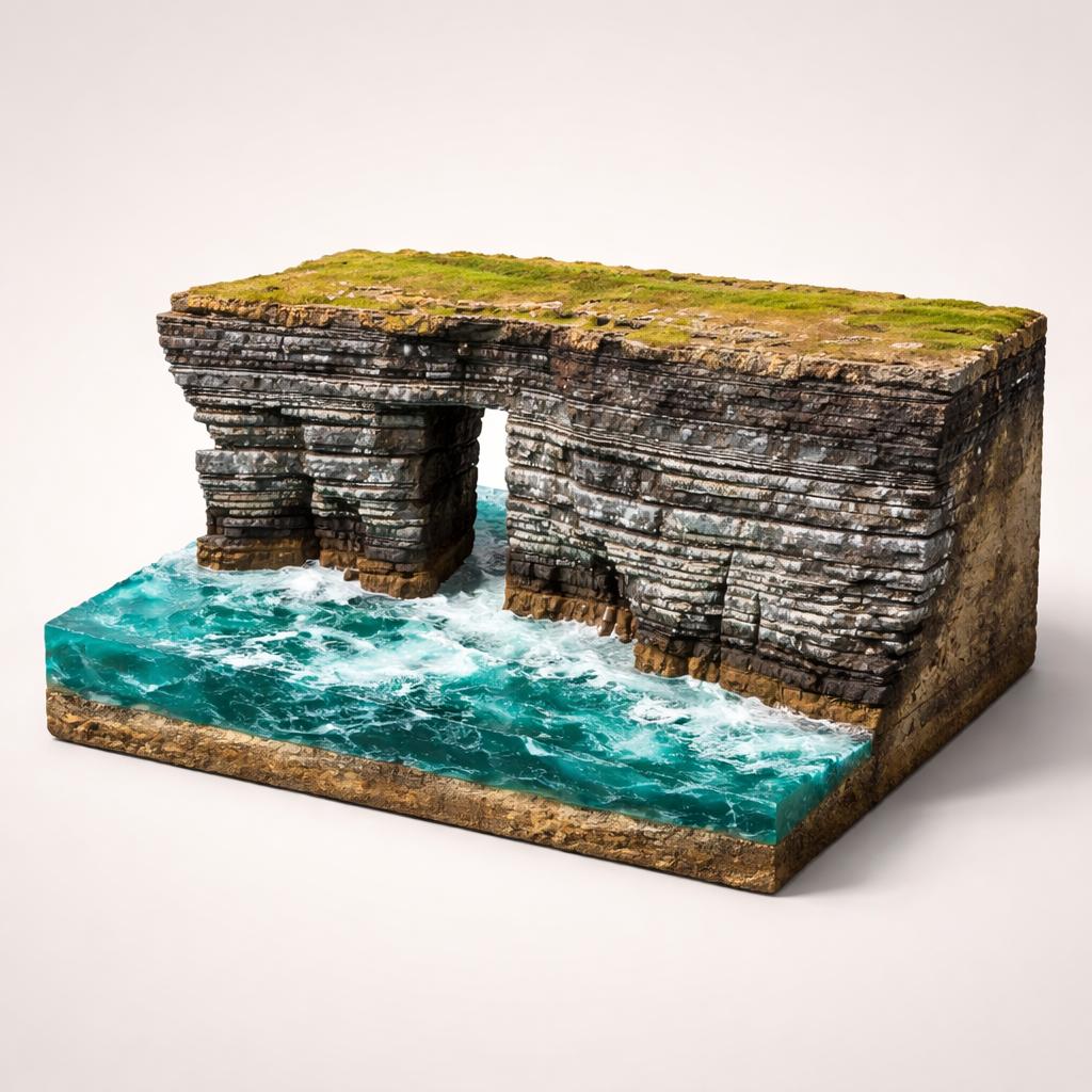
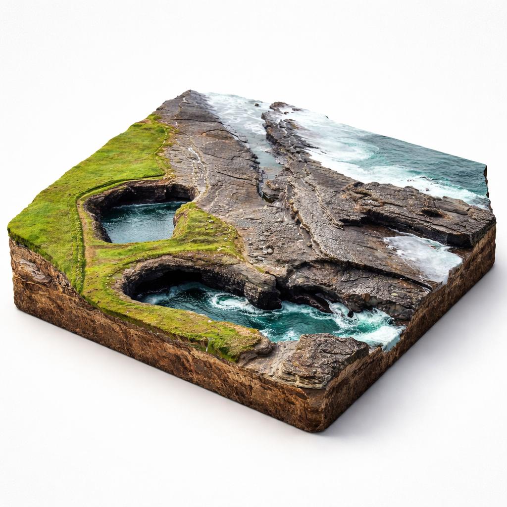
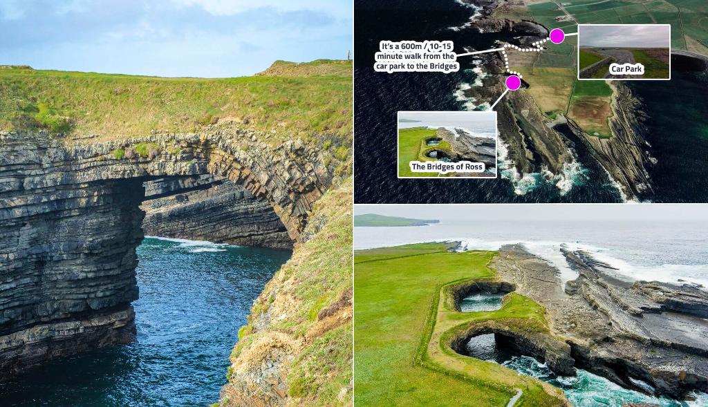
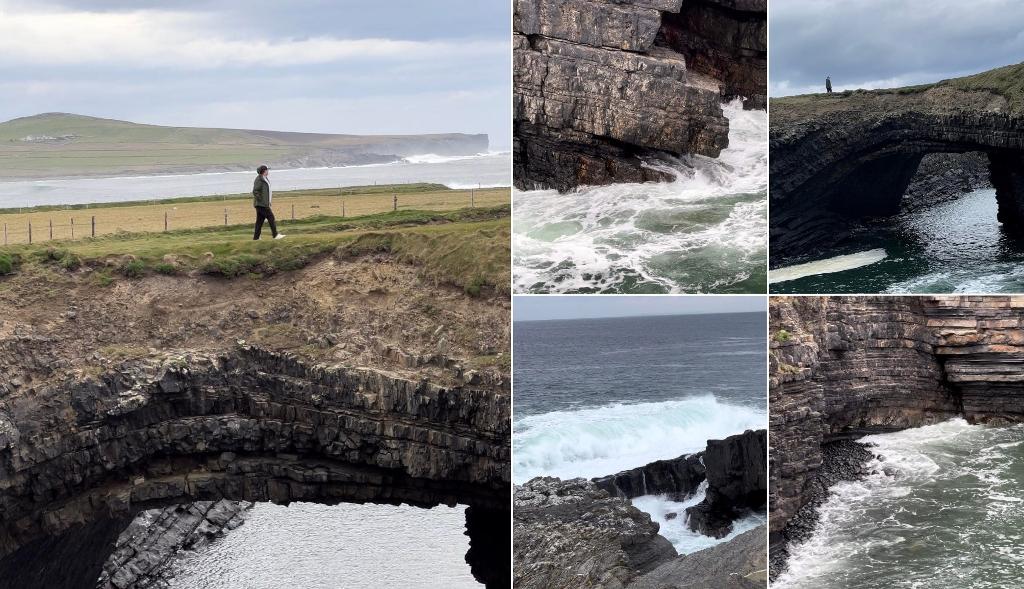
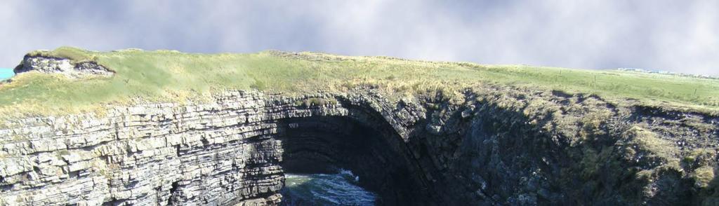
A short drive east from the lighthouse brings you to the western side of Ross Bay, where one natural arch still spans a deep coastal chasm — the sole survivor of an original trio. The bridge isn't visible from the road; follow the flat grass-and-earth footpath about 600 metres west from the car park. From August to October this is an internationally renowned seawatching site. Bring a picnic — tables sit at the car park looking out over the bay.
- Tip
- There are no toilets, no water and no café on site — the nearest food is Keatings Bar & Restaurant in Kilbaha, about 3 km away.
Frequently asked questions
Can you walk across the Bridges of Ross?
Yes, you can carefully walk across the grass-topped arch itself, but only attempt it in fair weather. The cliffs are completely unguarded and the winds can be fierce, so keep well away from the edge and never with young children near the drop.
Do you need to book the lighthouse tower tour in advance?
Pre-booking is strongly recommended. Tours run every hour from 10:30am, with the last at 4:30pm, and capacity is limited to 12 people per tour, so walk-ins are accepted but not guaranteed. The lighthouse opens daily from May to late September, and on weekends and bank holidays in the shoulder months.
When is the best time to see seabirds at the Bridges of Ross?
Late summer and autumn — August to October — when thousands of seabirds pass close to shore on their southbound migration. Look for Manx Shearwaters, Storm Petrels, skuas and, if you're lucky, Little Auks. The low-lying coast brings birds remarkably close, sometimes directly overhead.