Donegal Bay's Hidden Waterfall Coast
3 stops · 5 min driving · Donegal · Updated August 2026
Open in Google MapsThis is the Wild Atlantic Way at its most compact: a short ribbon of coast on the Slieve League peninsula where the R263 looks out over Donegal Bay before dropping to a hidden strand. The three stops belong to one landscape — a roadside viewpoint with a four-county panorama, a waterfall that only exists inside a sea cave at low tide, and a Blue Flag beach in the next bay along. Begin at the pull-in, where coffee trucks park beside stone tables and the walk to the waterfall sets off from a signed gate. Finish at the sand. The one thing to organise in advance is the tide: check Killybegs tide tables before you leave, because the cave floods completely at high tide with no escape route.
1.Largy Viewpoint
Four counties from one pull-in
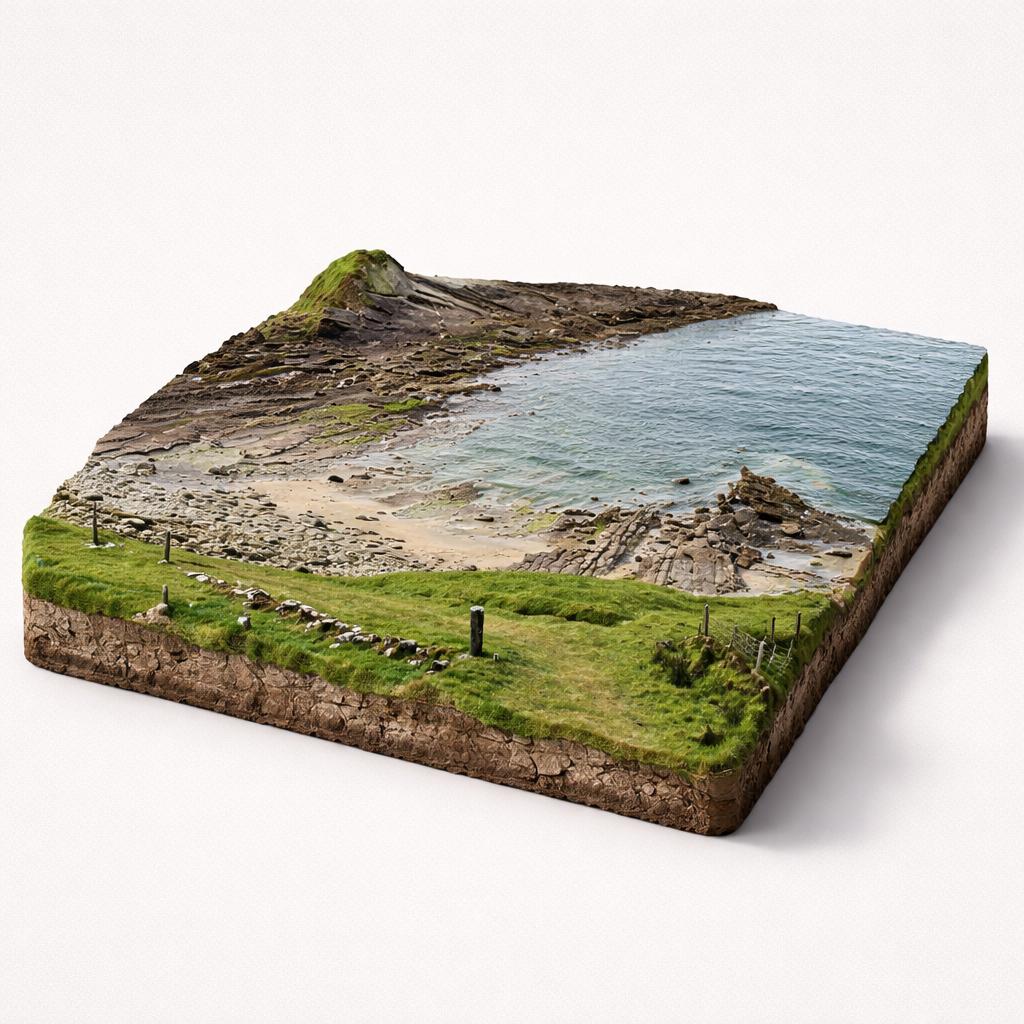
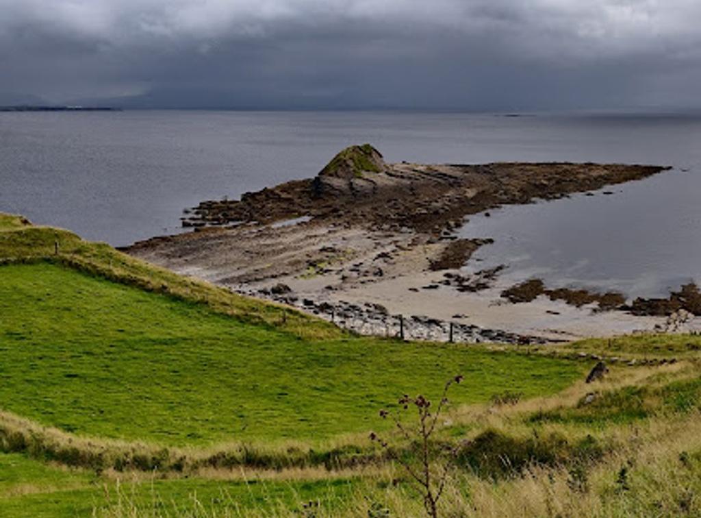
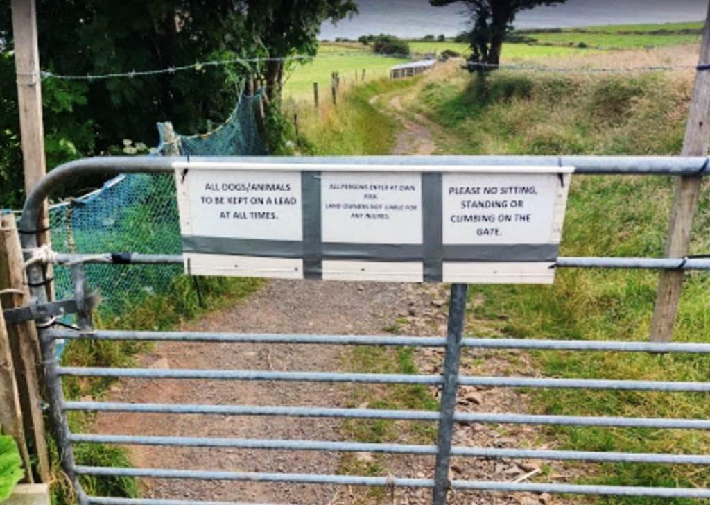
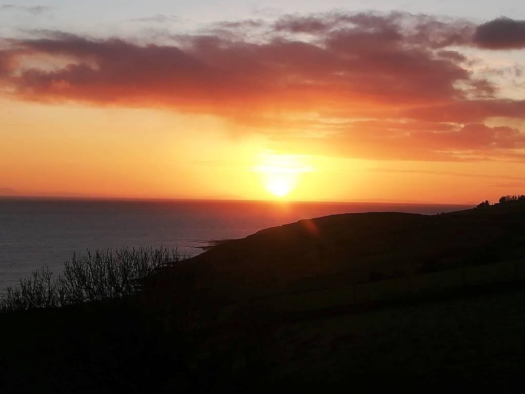
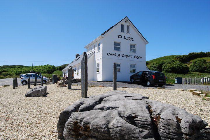
From the R263 the Atlantic opens out across Donegal Bay, and on a clear day four counties line the horizon. Coffee trucks park beside the stone picnic tables, and dolphins are frequently seen playing below. This is where the waterfall walk begins too — a signed gate on the left leads across a private field to the coast. Stop here first to read the water and plan the tide.
- Tip
- The viewpoint car park is small and fills quickly — never park along the road outside the designated area.
↓ 1 min drive · 0.3 km
2.Secret Waterfall
One of Ireland's rarest natural features
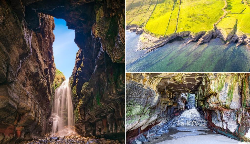
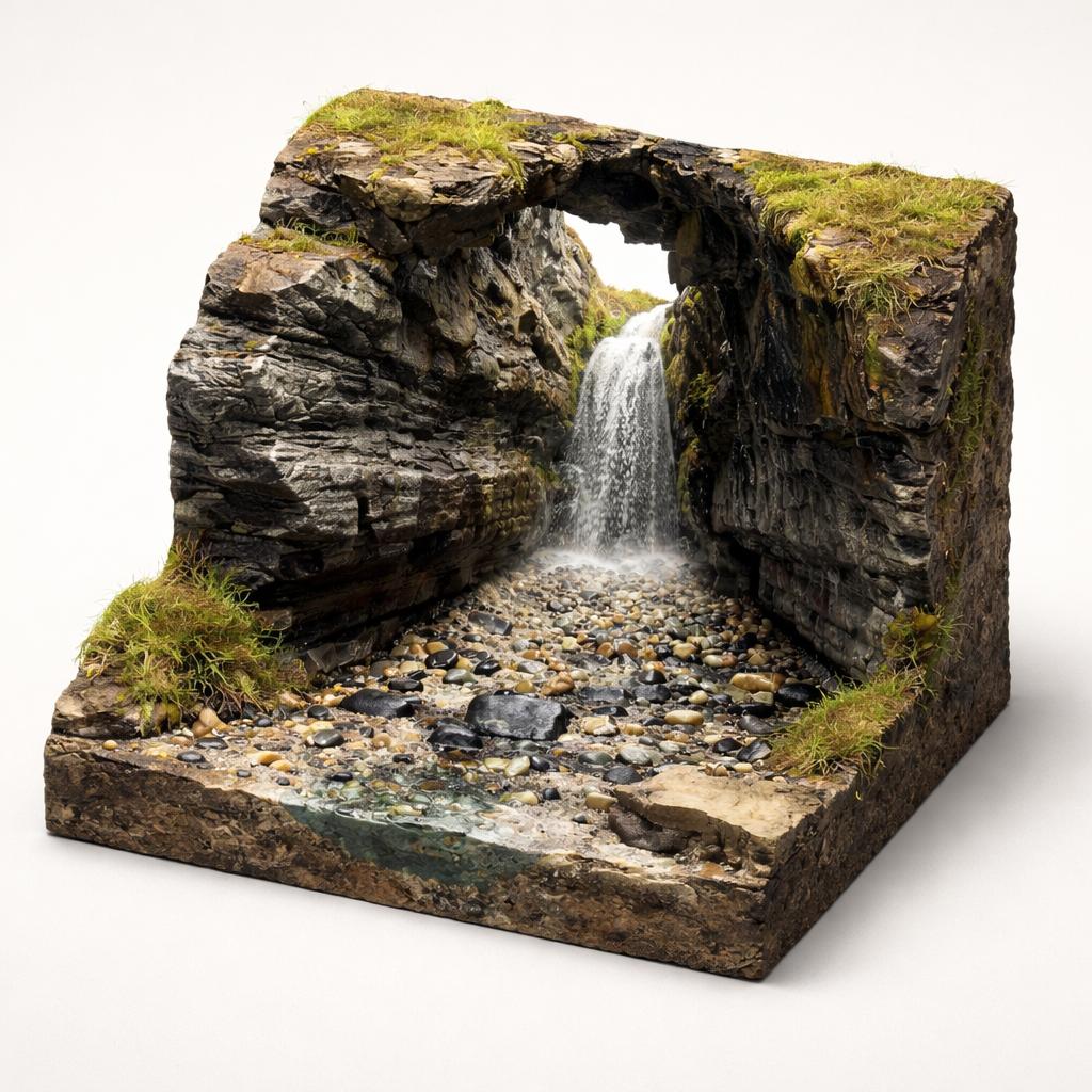
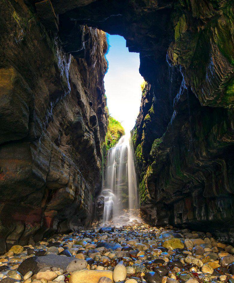
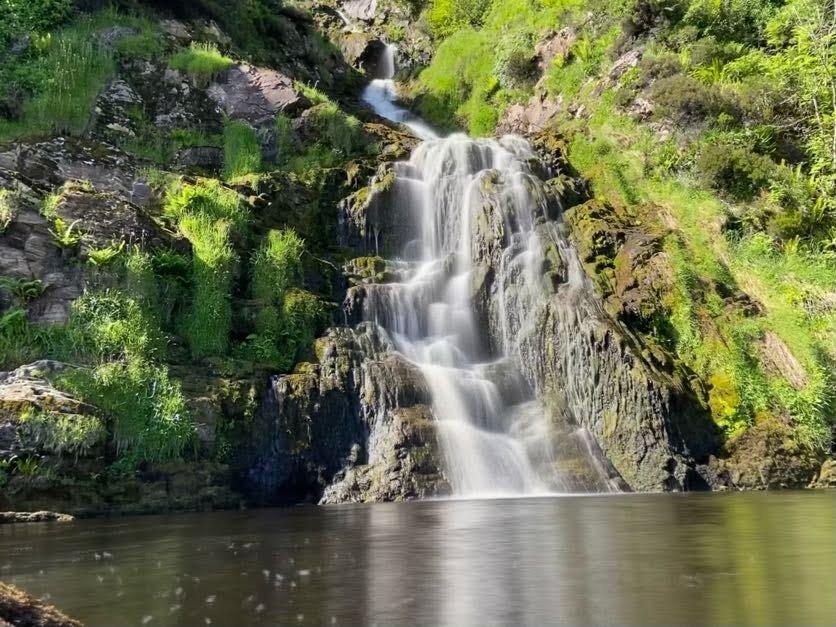
A signed gate and a scramble over jagged, seaweed-slick rocks bring you to a roofless sea cave where the Largy Burn drops onto boulders. After heavy rain it is thunderous, and sunlight can throw rainbows through the spray. This is the stop that decides the shape of the day: the cave floods completely at high tide, so plan around low water.
- Tip
- Check Killybegs tide tables before you set out and aim to arrive 2–3 hours before low tide — the cave floods completely at high tide with no escape route.
↓ 4 min drive · 1.7 km
3.Fintra Beach
Blue Flag sand to finish on
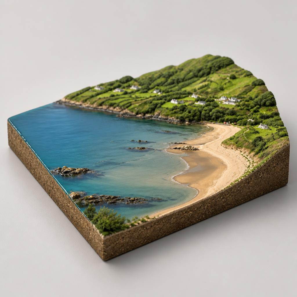
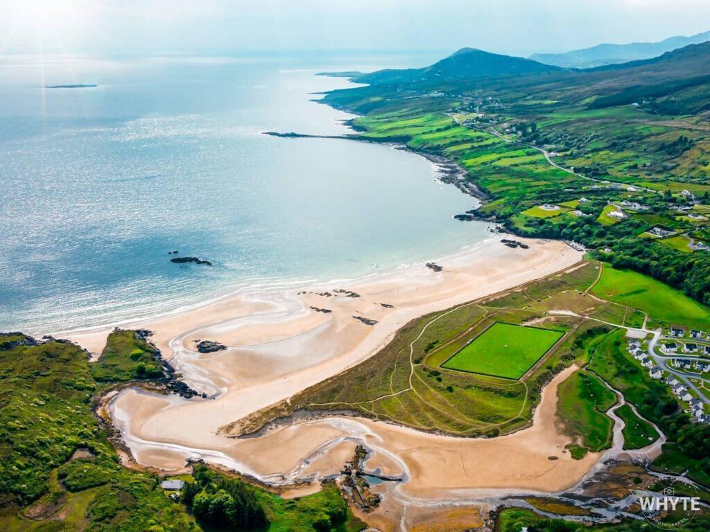
The drive finishes where the coast softens: a Blue Flag strand of golden sand in a sheltered bay, sloping gently into shallow water. Lifeguards cover summer swimming, a dune path makes a circular walk, and low tide exposes rock pools and the widest sand. It is the easy, open-air end the rugged waterfall deserves — a place to land after the scramble.
- Tip
- The car park sits above the beach and is not suitable for camper vans; on busy summer days it fills quickly, so arrive early.
Frequently asked questions
Can I visit the waterfall at any time of day?
No. The waterfall sits inside a sea cave that floods completely at high tide, with no escape route, so low tide is essential. Check Killybegs tide tables before visiting and aim to arrive 2–3 hours before low tide; the approach is a scramble over extremely slippery rocks, so allow time to return safely.
Is it safe to swim at the beach?
The strand holds a Blue Flag for water quality and safety, slopes very gently into shallow water, and has lifeguards on duty from June to September, 12.00-18.30. Outside those hours, swim with care. At low tide the exposed sand is at its widest and the rocky edges hold pools worth exploring.
Where can I get food on this route?
Coffee is the reliable option: a coffee truck parks at the first viewpoint and a second trailer is sometimes near the waterfall trail entrance. The beach has no cafés or shops, but Killybegs, a few minutes' drive away, has cafés, restaurants and accommodation.
How far apart are the stops?
The three stops sit within a couple of kilometres of one another on the same stretch of the Slieve League peninsula coast, so there is little driving between them. The real distance is on foot — the waterfall involves a 15–25 minute scramble over slippery rocks from the signed gate.