Yeats Country: Glencar Waterfall to Gleniff Horseshoe
3 stops · 38 min driving · Sligo · Updated August 2026
Open in Google MapsThis route strings together three of the places that made inland Sligo famous, all gathered around Benbulben and the Dartry Mountains. It begins at Glencar Waterfall, the fern-lined cascade Yeats turned into verse, continues beneath Benbulben's sheer cliffs on a family-friendly forest loop, and ends on the dramatic Gleniff Horseshoe, a glacial valley drive that is part of the Wild Atlantic Way. The roads are narrow in places — the horseshoe loop is single-lane — and sheep share the tarmac. All three stops are free and open year-round, though the waterfall café switches to weekends only in winter, its toilets may be seasonal, and the horseshoe road can ice over.
1.Glencar Waterfall
Where Yeats heard wandering water
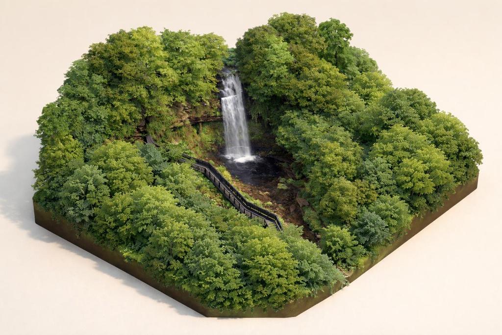
A short paved loop leads through woodland to a viewing platform at the base of the 15m cascade — the 'wandering water' that inspired WB Yeats' poem. It's a gentle, wheelchair-friendly opening stop with free parking, a café and a playground, and those wanting more can strike up the 7km Glencar Hill Walk for lough views.
- Tip
- Parking is free but can fill up on summer weekends — arrive early, and check whether the seasonal toilets are open before you set off.
↓ 17 min drive · 11.7 km
2.Benbulben Forest Walk
Circling the table mountain's cliffs
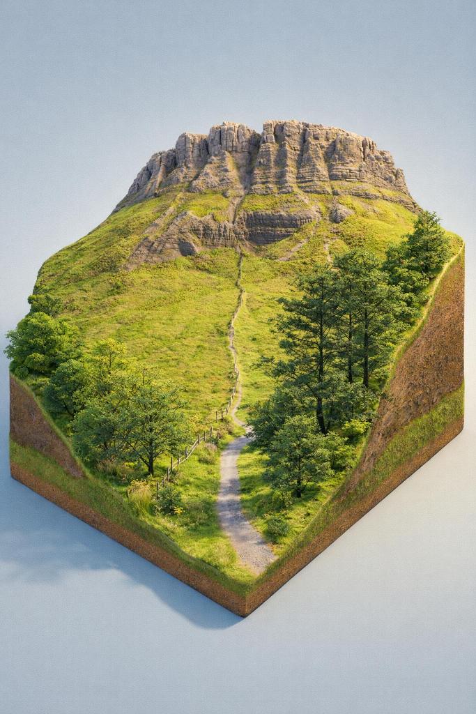
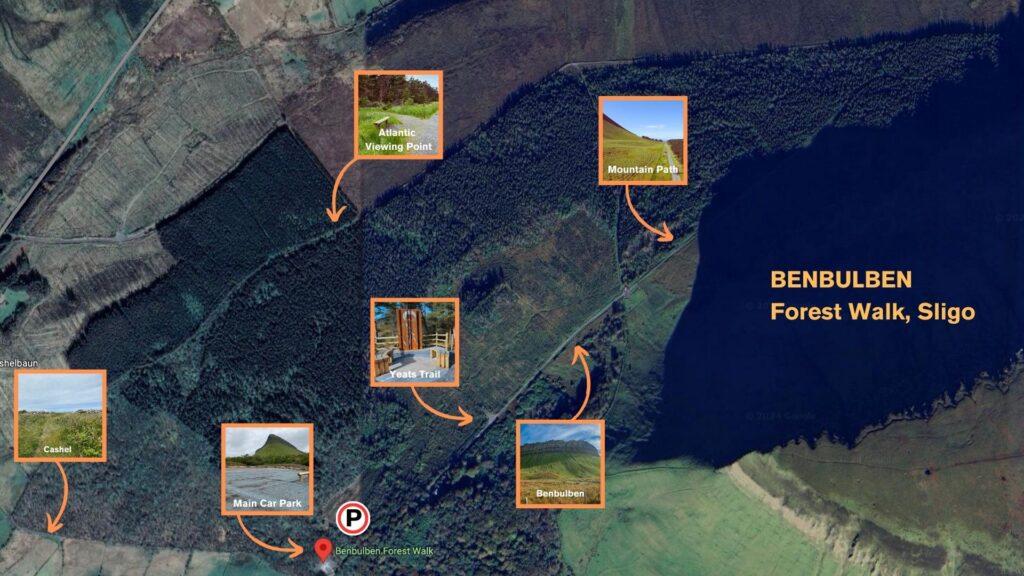
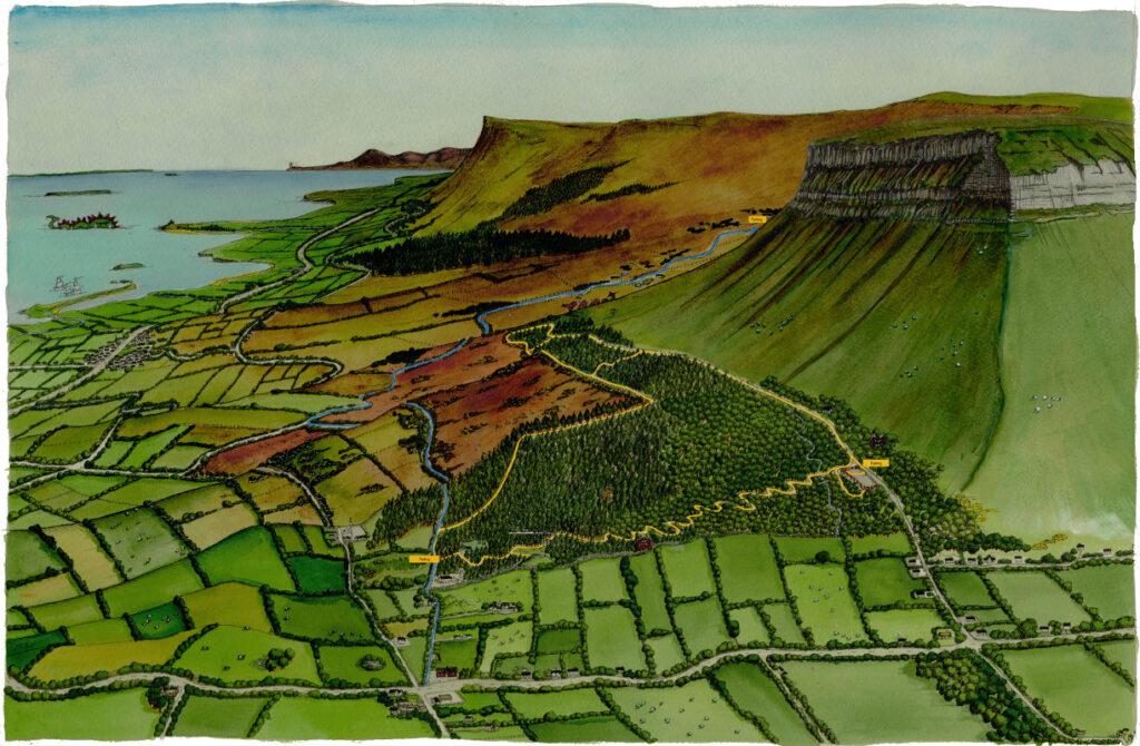
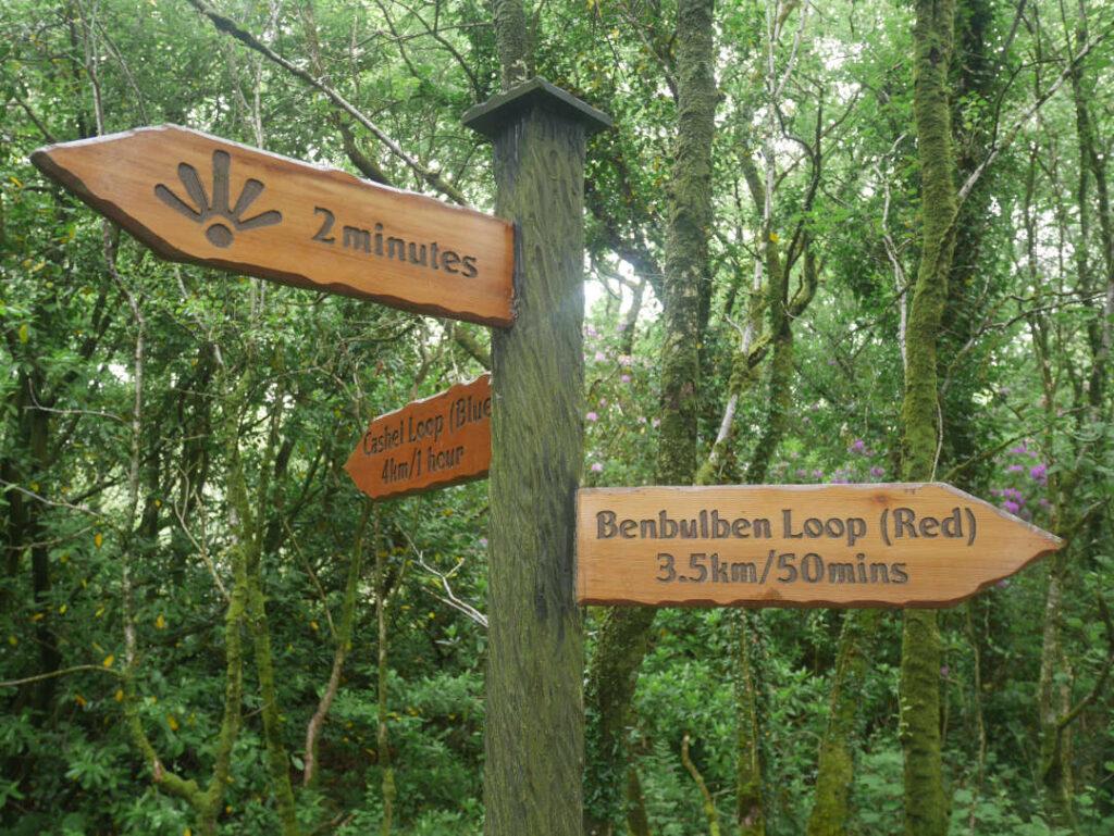
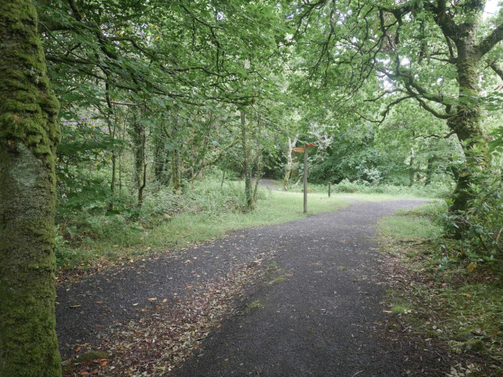
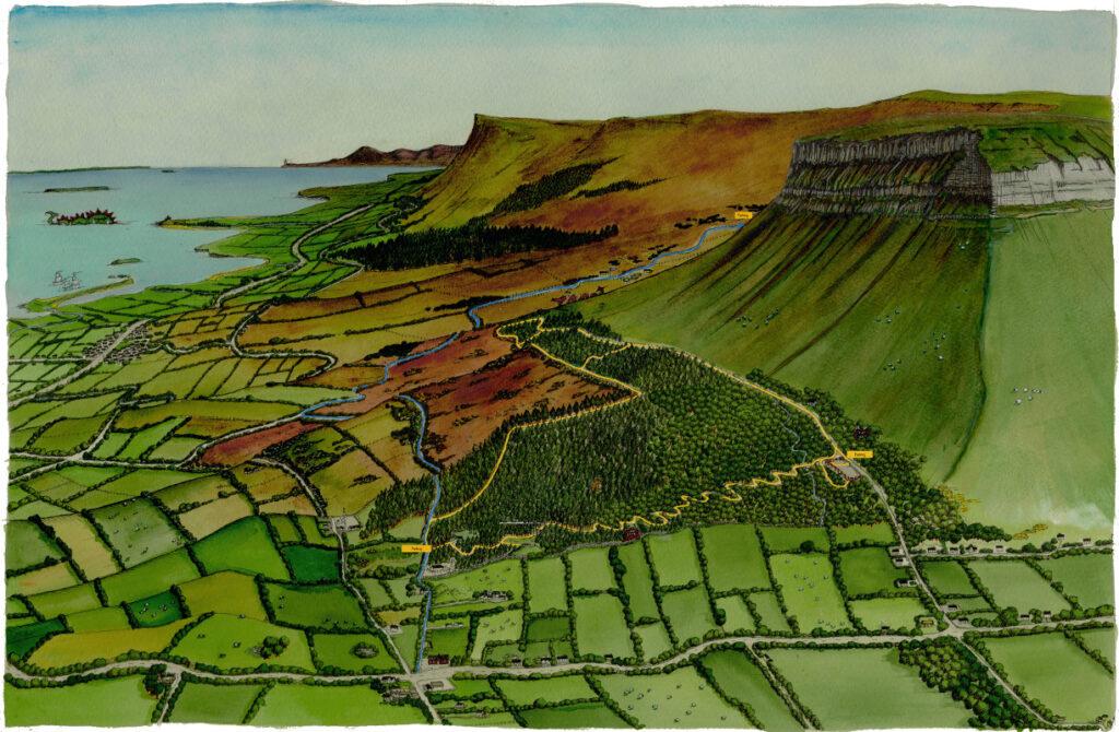
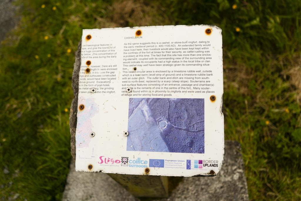
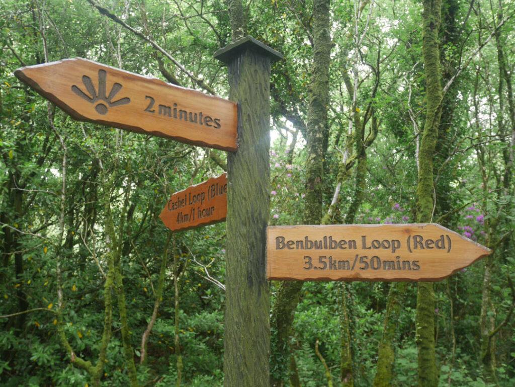
The drive brings you right to the mountain's base, where a 5.5km gravel loop circles beneath sheer limestone cliffs. The path climbs through woodland, opens onto panoramas over Donegal Bay, and passes the ruins of Cashelbaun ringfort, a high-status early-medieval dwelling. A short multi-access trail delivers the classic head-on view without the full loop.
- Tip
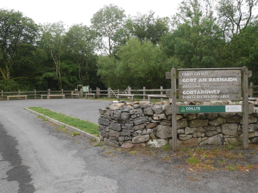
- The main car park is unsuitable for motorhomes due to the narrow access road; the newer Gortarowey Forest Car Park near Cashelbaun is an alternative.
↓ 21 min drive · 16.6 km
3.Gleniff Horseshoe
The glacial valley loop
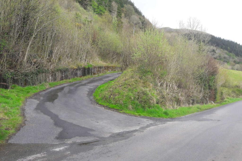
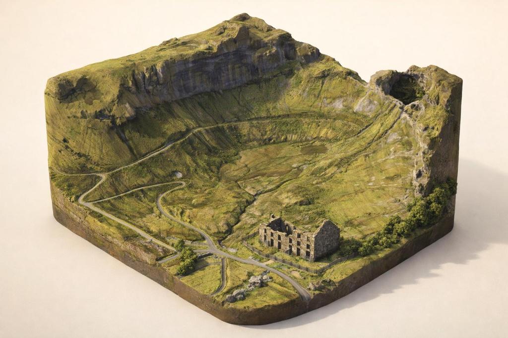
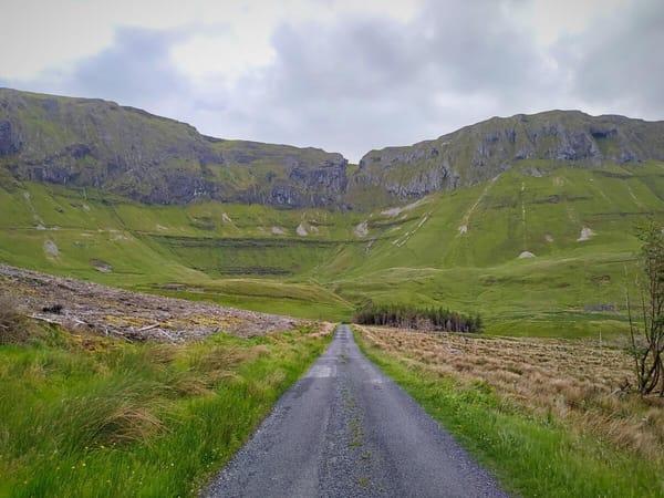
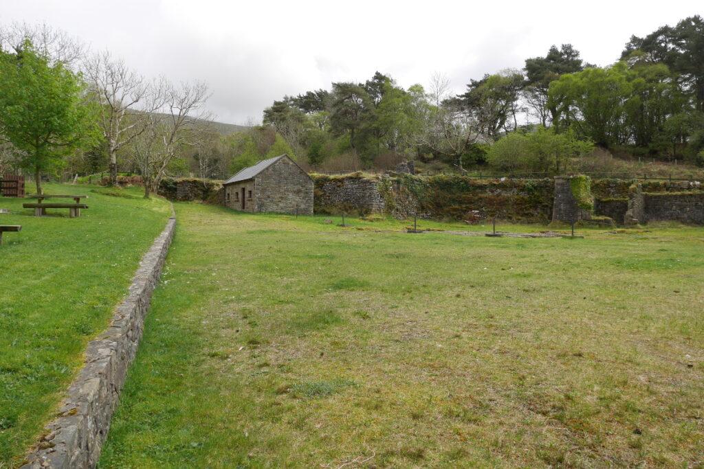
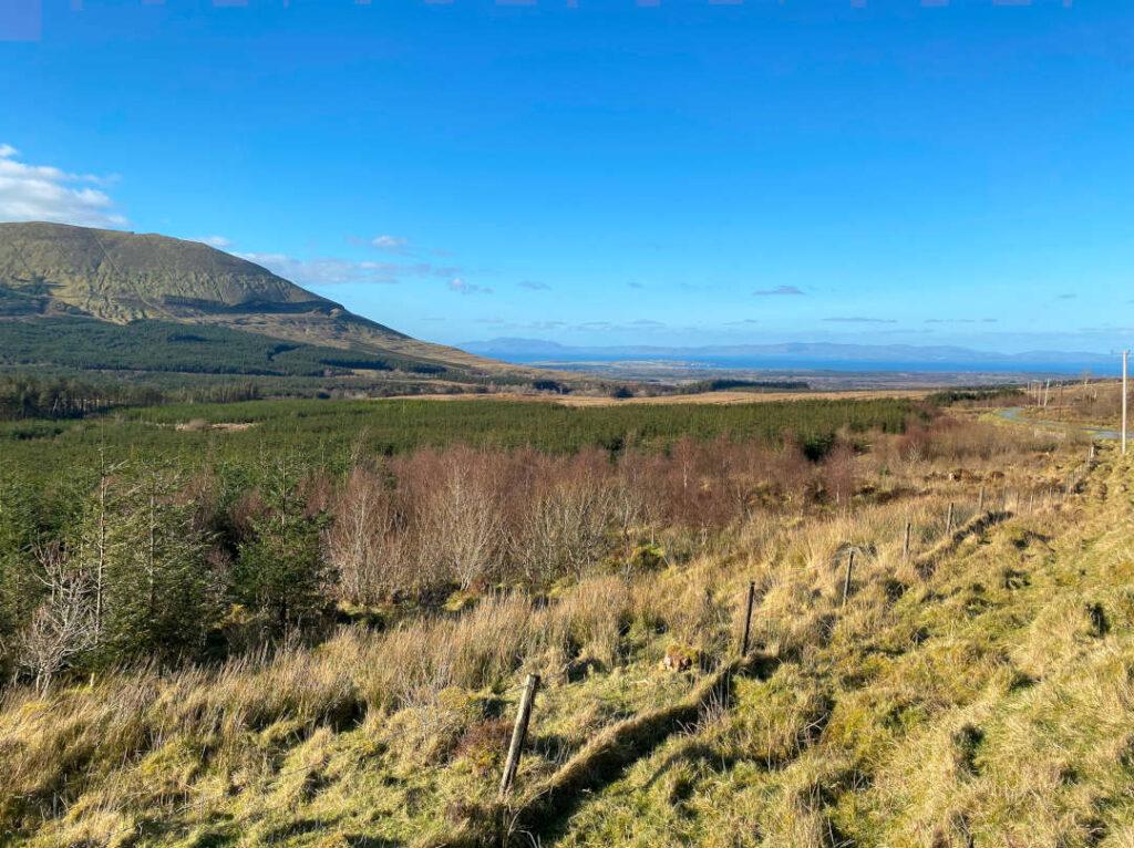
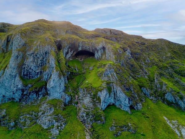
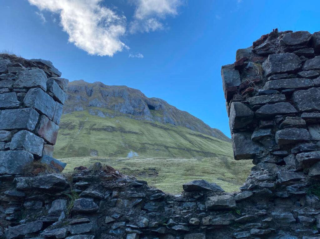
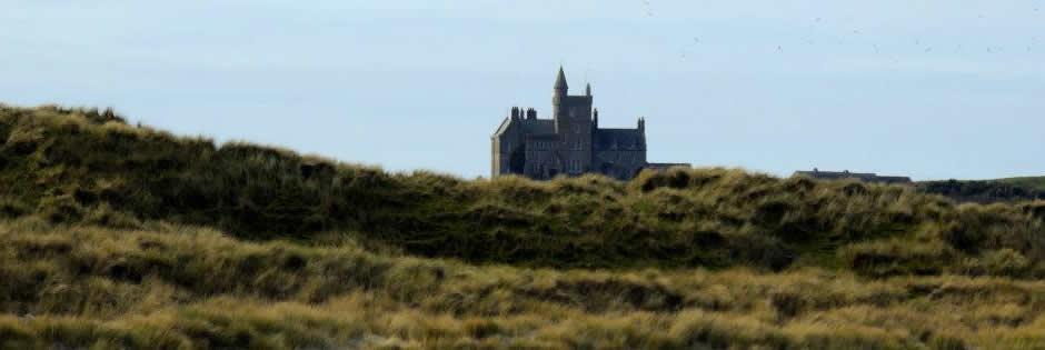
Finish on the 10km single-lane loop through the Dartry Mountains, best driven clockwise from the Barytes Mill ruins. Stop at Magic Hill's optical illusion, spot Diarmuid & Gráinne's Cave high on the eastern cliff, and let Donegal Bay open up behind you. The road is paved but narrow — sheep and farm vehicles share the tarmac.
- Tip
- Don't attempt the climb to Diarmuid & Gráinne's Cave — the approach crosses private land on steep, unstable terrain and has led to mountain rescue callouts; view it from the roadside.
Frequently asked questions
Do I need to book tickets for these stops?
No. All three stops are free and need no booking: Glencar Waterfall, Benbulben Forest Walk and the Gleniff Horseshoe, which is a public road loop. Just turn up at any trailhead; the only costs on the route are food at the teaSHED café and, in peak season, an ice cream van that sometimes parks at the waterfall car park.
Are the roads suitable for a normal car?
Yes. All three stops sit on paved roads, but the final leg is the Gleniff Horseshoe, a narrow single-lane loop where you'll share the tarmac with sheep and farm vehicles. Drive it clockwise from the Barytes Mill Site for the best approach views, and park at the mill car park (Eircode F91 T224).
Where should we stop for food along the route?
The teaSHED café beside the Glencar Waterfall car park is the only full eatery on the route, serving soups, sandwiches, scones and locally roasted coffee, open daily April–October. Near Benbulben, Drumcliff village has a coffee shop at the churchyard, and nearby Mullaghmore has pubs and restaurants.
When is the waterfall at its best?
After rain, when the 15m cascade is fullest — which is why spring and autumn are ideal for the first stop. Benbulben's forest walk is best April–September, and the horseshoe road can ice over in winter, so plan for daylight hours then.