Gleniff Horseshoe

Gleniff Horseshoe
4.8 (1,168)
Gleniff Horseshoe photo 1
Gleniff Horseshoe photo 2
Gleniff Horseshoe photo 3
See all
Gleniff Horseshoe photo 4
See all

About

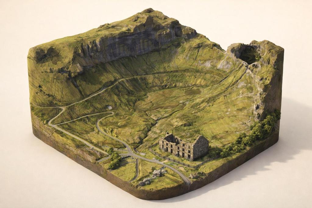
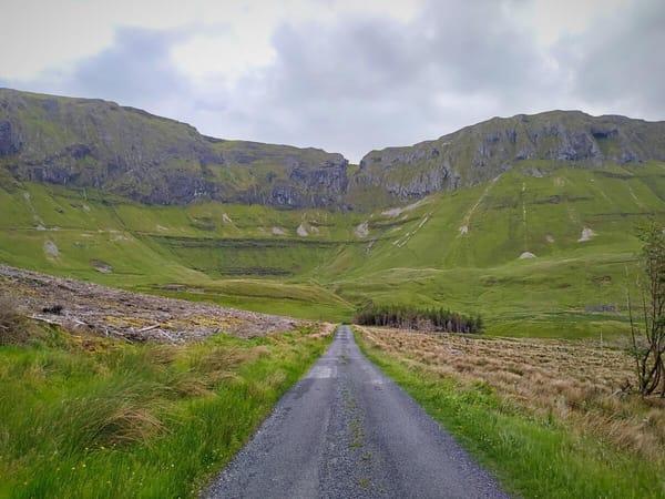
A dramatic 10km single-lane loop through a glacial valley in the Dartry Mountains, where towering limestone cliffs, myth-laden caves, and views of Donegal Bay create one of Sligo's most exhilarating drives — or walks.

Things to Do

The Scenic Loop Drive

Drive the 10km single-lane loop clockwise from the Gleniff Barytes Mill Site for the best approach views. The road takes about 25 minutes non-stop, but allow 50 minutes to pause at viewpoints. Mountains Truskmore (631m), Tievebaun (611m), and Benwiskin (514m) tower on either side, with Donegal Bay opening up on clear days. The road is paved but narrow — watch for sheep and oncoming farm vehicles.

The Scenic Loop Drive

Walk the Benwiskin Trail (13.5km)

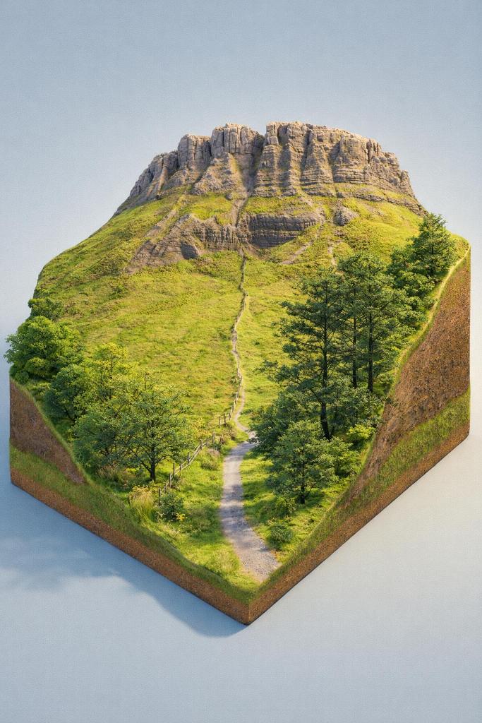
The longer walking route starts from the Benwiskin Centre, following quiet country roads around the full horseshoe. Graded moderate with only 40m of ascent, it takes 2.5–4 hours. The trail is not waymarked — you navigate by road signs. You'll pass the Barytes Mill, old schoolhouse ruins, and get jaw-dropping views of the Cliffs of Annacoona from directly beneath the rock face.

Walk the Benwiskin Trail (13.5km)

Shorter Mill Site Walk (9.1km)

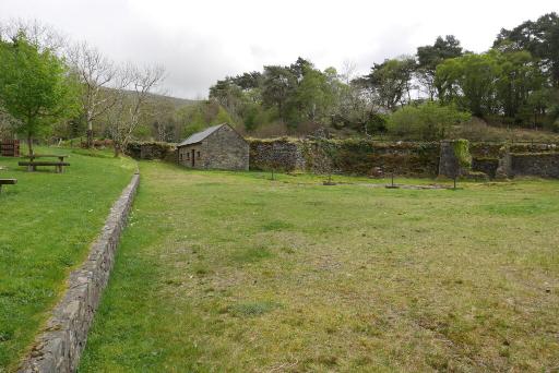
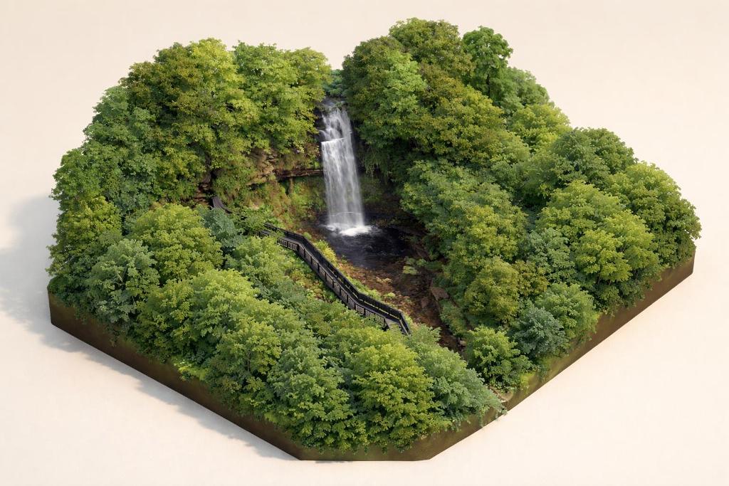
Start from the free car park at Gleniff Barytes Mill Site for a roughly 3-hour circuit that avoids busier public roads. The route stays closer to the stream and woodland, making it ideal for a relaxed half-day outing or a picnic stop. The woodland trail at the Mill Site follows native Irish trees, babbling mountain streams and small waterfalls.

Shorter Mill Site Walk (9.1km)

Diarmuid & Gráinne's Cave

High on the eastern cliff, this arched cave — said to be the highest of its kind in Ireland — is where the legendary lovers hid from Fionn mac Cumhaill. View it from the roadside near the old schoolhouse ruins. Do not attempt the climb: the approach crosses private land on steep, unstable terrain and has led to mountain rescue callouts.

Diarmuid & Gráinne's Cave

The Barytes Mill Ruins

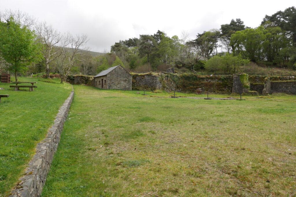
The stone foundations and water channels of this 19th-century mill sit beside the river near the main car park. Barytes — a heavy white mineral used in paint, plastics, and X-ray procedures — was processed here and shipped via a private railway to Mullaghmore harbour. A short woodland trail weaves through the ruins, with picnic benches and occasional wooden sculptures.

The Barytes Mill Ruins

Explore Nearby Mullaghmore (15-min drive)

The postcard-perfect harbour village of Mullaghmore is just 15 minutes away. Walk the sandy strand, drive the headland loop for views of Classiebawn Castle, or grab food at one of the village's pubs and restaurants. Boat trips to the monastic island of Inishmurray depart from the harbour in season.

Explore Nearby Mullaghmore (15-min drive)

Magic Hill (Gravity Hill)

A signposted optical illusion along the loop under Tievebaun Mountain. Stop your car, put it in neutral, release the handbrake — and watch it appear to roll uphill. It's a trick of perspective and a fun quick stop on the drive.

Plan Your Visit

  • Hours: Always open — this is a public road loop with no gates or closing times. Best visited in daylight; the road can ice over in winter.
  • Admission: Free — no admission charge of any kind
  • Parking: Free parking at two locations: Gleniff Barytes Mill Site (main car park, ample spaces, Eircode F91 T224) and roadside parking at the Benwiskin Centre. The Mill Site car park is the recommended starting point for both walks and the drive.
  • Food: A coffee cart sometimes operates at the start/end of the walk (not guaranteed). The nearest reliable food, shops, and toilets are in Cliffoney (6km), Mullaghmore (15-min drive), or Bundoran (25-min drive).

Watch More

See it on the map

Load the interactive map to explore this place location.

Nearby places

Featured in