Walk the Benbulben loop
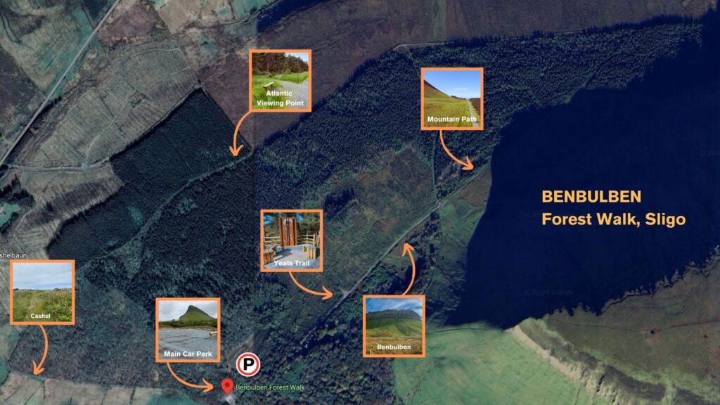
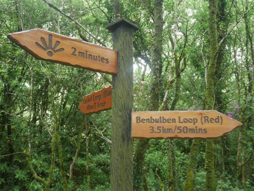
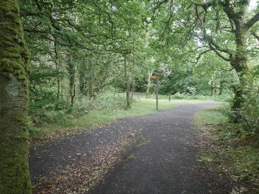
A red-arrow waymarked, 5.5 km looped forest trail graded easy, with just 20 m of ascent over roughly 1.5 hours. From the car park the gravel path climbs gently before the mountain opens up on your right.
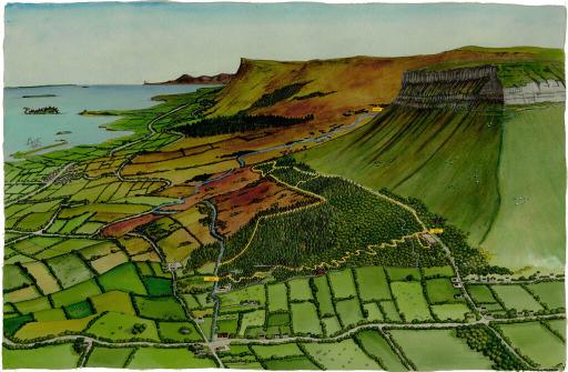
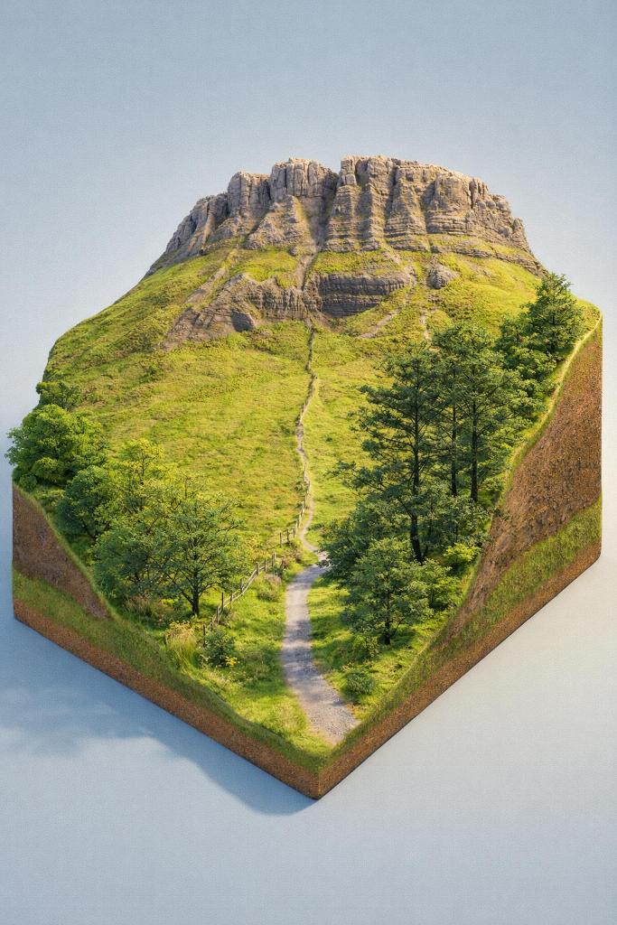
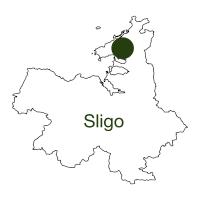
An easy 5.5 km looped forest trail at the foot of Benbulben, the flat-topped table mountain that dominates Sligo's coast, mixing quiet woodland, a ruined ring fort and wide views over Donegal Bay.
A red-arrow waymarked, 5.5 km looped forest trail graded easy, with just 20 m of ascent over roughly 1.5 hours. From the car park the gravel path climbs gently before the mountain opens up on your right.
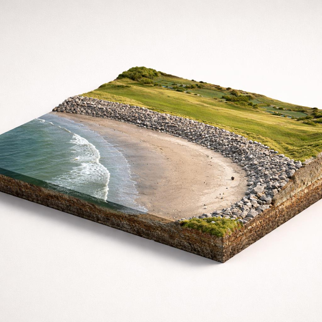
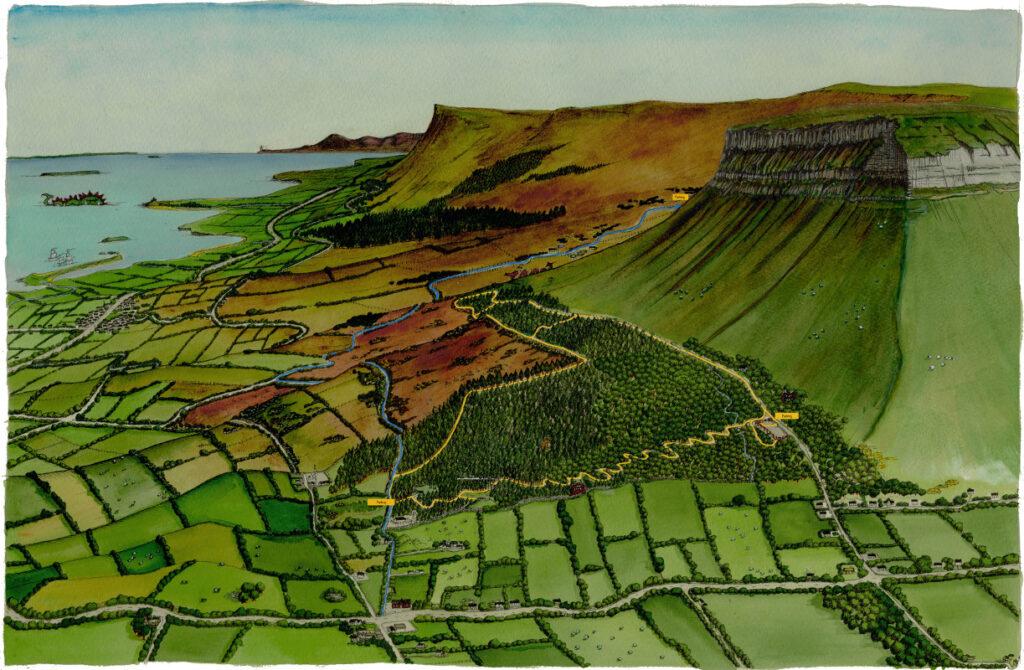
Where the path turns seaward you look over the Atlantic towards the island of Innismurray, Classiebawn Castle at Mullaghmore and, on a clear day, the Slieve League sea cliffs across the bay in Donegal.
The homeward section descends along a newer stretch of path, passes the ruins of a cashel, a fortified dwelling of early settlers, and returns through native woodland to the start.
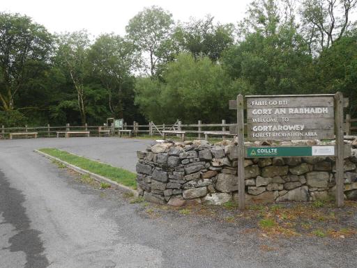
The trailhead has a car park, picnic area and information boards, and the level gravel path suits families, though there are no toilets on site. Sturdy shoes, snacks, water and a phone are the suggested kit.
The trail skirts the base of the mountain, giving almost vertical views of its ribbed limestone flanks. The land here is Coillte forest, grazed by sheep that pick their way along the steepest slopes.
W.B. Yeats is buried at Drumcliffe, about 4 km from the trailhead, under 'bare Ben Bulben's head'. His grave is an easy add-on to the walk.
Load the interactive map to explore this place location.