Ballycuggaran Forest Car Park

Ballycuggaran Forest Car Park
4.7 (216)
Ballycuggaran Forest Car Park photo 1
Ballycuggaran Forest Car Park photo 2
Ballycuggaran Forest Car Park photo 3
See all
Ballycuggaran Forest Car Park photo 4

About

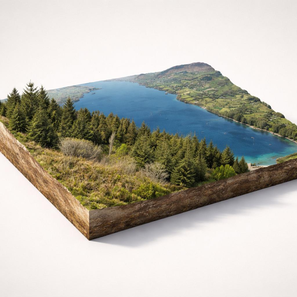
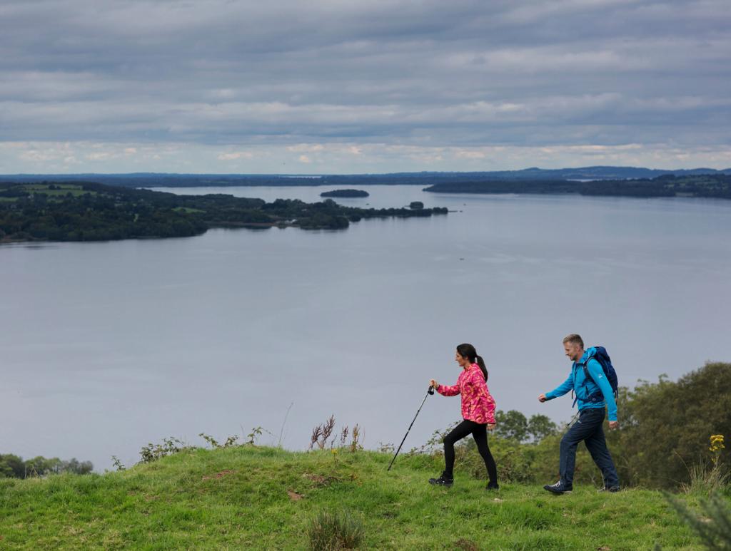
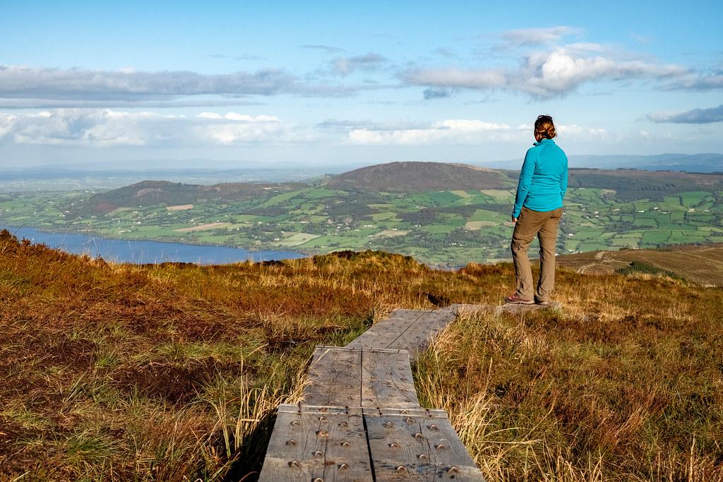
A gateway trailhead in the Slieve Bernagh Mountains with waymarked forest walks, access to Clare's highest peak, and sweeping views over Lough Derg.

Things to Do

Crag Wood Walk

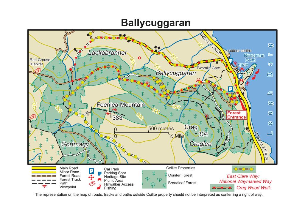
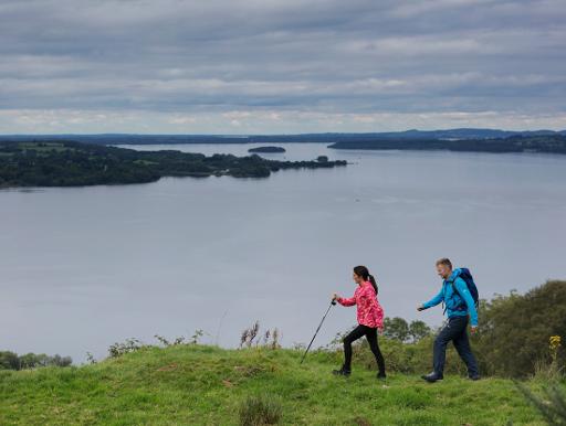
The main waymarked loop: 7.1 km, strenuous, taking about 2 hours. Follows forest roads, tracks and a minor road through Sitka and Norway Spruce, climbing 250 m onto the shoulders of Feenlea Mountain. Red arrows mark the route. Walk anti-clockwise for the best views over Lough Derg.
Crag Wood Walk

Moylussa – Clare's County High Point

At 532 m, Moylussa is the highest point in County Clare. The hike from the car park is roughly 11 km return (3–5 hours). Follow the East Clare Way (yellow arrows) uphill, then look for handmade signs directing you off the forestry track to the summit. The final stretch crosses a boardwalk over bog to a pillar stone at the top.

Moylussa – Clare's County High Point

Ballycuggaran Loop Walk

A 5.6 km moderate loop starting from the map board at Rinnaman Point (Two-mile Gate) car park by the lakeshore. Mix of minor roads, forestry paths and tracks, with superb views over Lough Derg and the Annacarriga valley. Allow about 2 hours.

East Clare Way

This long-distance trail passes through the forest. Use the car park as a starting point for a section hike along the yellow-waymarked route, which links Killaloe to Scariff through the Slieve Bernagh uplands.

Lakeside picnic at Two-mile Gate

The lower car park at Rinnaman Point (Two-mile Gate) sits right on the shore of Lough Derg. A spacious public amenity area — ideal for a picnic with lake views before or after your walk. The University of Limerick watersports centre is adjacent.

Plan Your Visit

  • Admission: Free entry
  • Parking: Free. The main Ballycuggaran Forest Car Park (up a short gravel track) holds 30+ cars. Additional lakeside parking at Rinnaman Point (Two-mile Gate) on the R463.
  • Food: No food or drink on site. Killaloe (3 km south) has cafés, restaurants, and pubs — including the well-known thatched Larkins pub. The Garden Café at East Clare Community Co-Op in Scarriff is also recommended by regular walkers.

Getting Around

Map

Watch More

See it on the map

Load the interactive map to explore this place location.

Nearby places