Trails and Viewpoints in Co. Louth
4 places
1.Clogherhead Cliff Walk
a 30-minute cliff walk with Mourne Mountain views
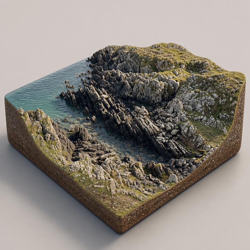
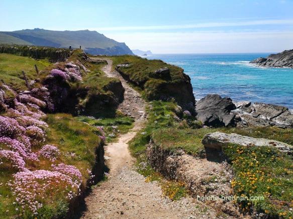
A short, big-view clamber over Clogherhead's rocky headland — the only high headland on Ireland's east coast between the Mourne Mountains and Howth — with a Blue Flag beach and a beachfront coffee stop at the bottom.
- Highlights
- Only high rocky headland between the Mourne Mountains and Howth
- Short route to the lookout: about 30 minutes
- Longer loop back via the harbour: about 1 hour 15
- Facilities
- Good for kids · Restrooms · Wheelchair access
2.Carlingford to Omeath Greenway
a 19km cross-border greenway on an old railway line
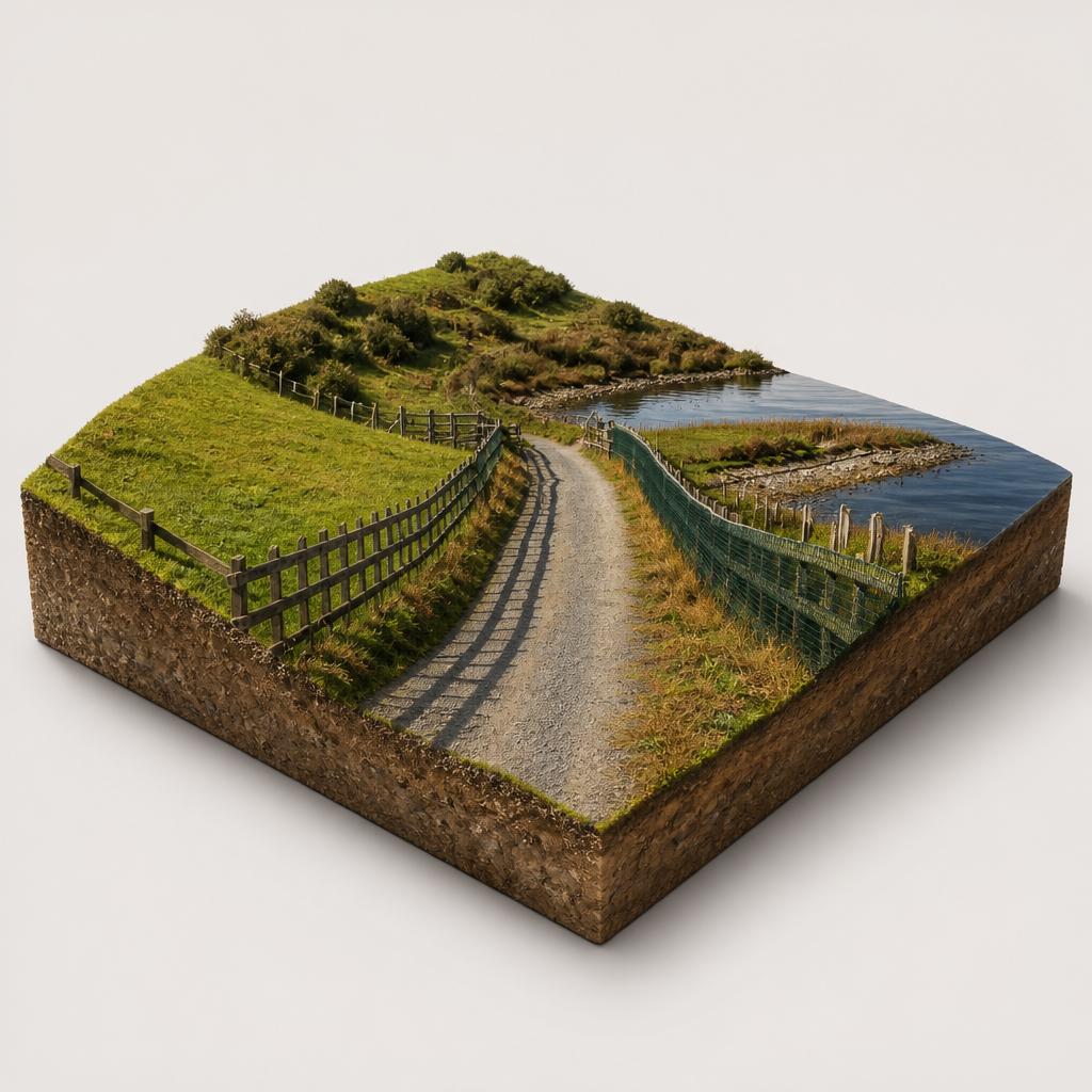
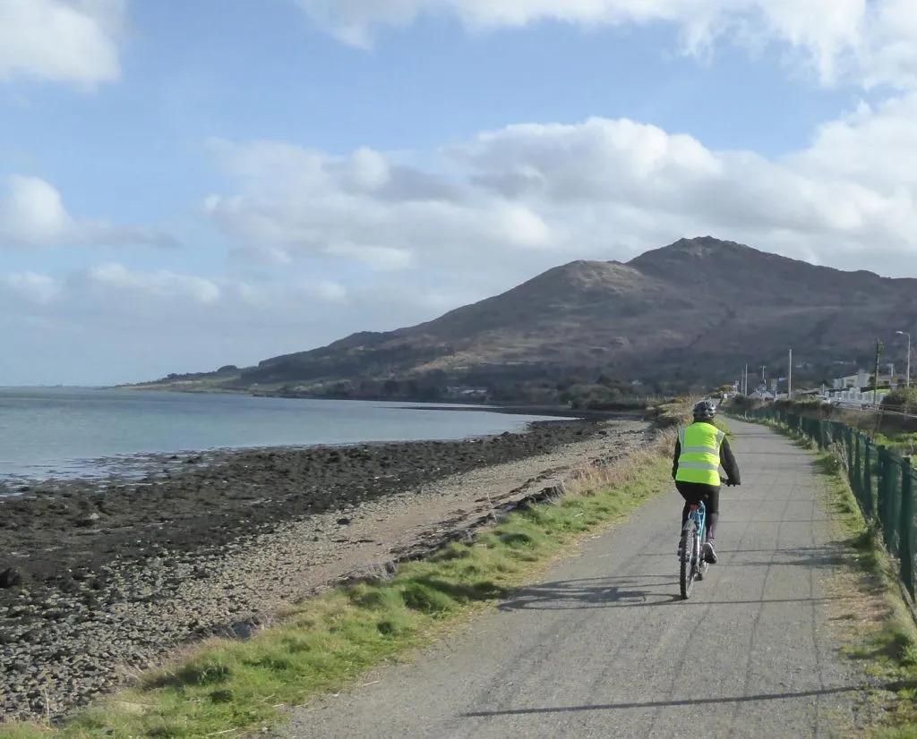
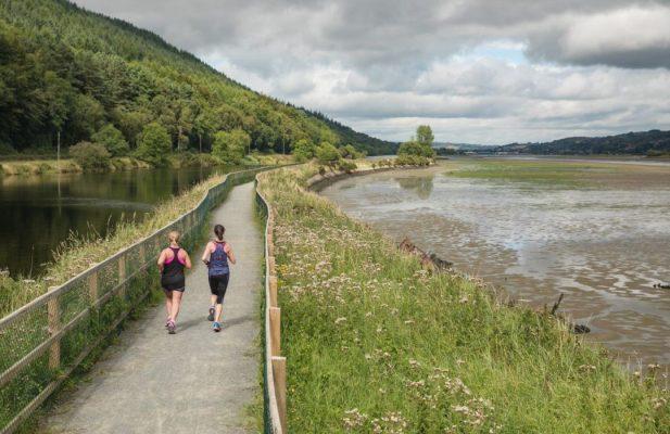
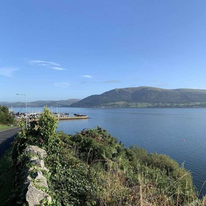
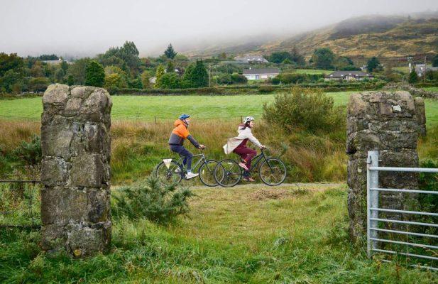
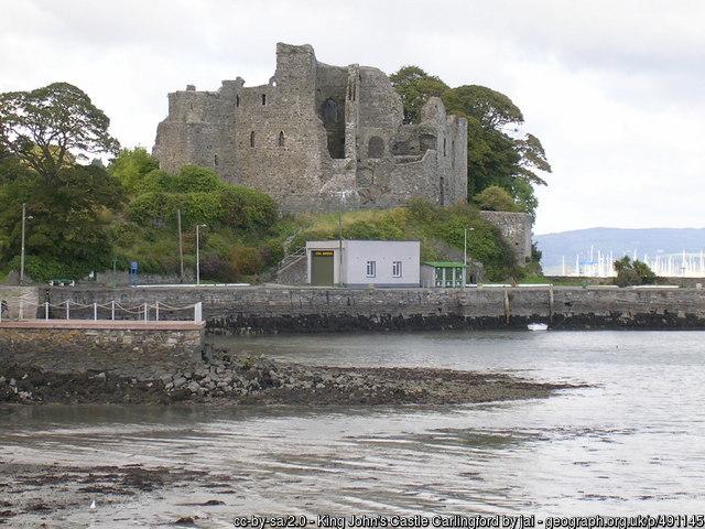
A 19km cross-border greenway along Carlingford Lough, built on an old railway line, linking Carlingford Marina with Omeath and Newry beneath the Cooley and Mourne Mountains.
- Highlights
- 19km largely off-road route from Carlingford Marina to Newry
- Carlingford Marina–Omeath section: 6.5km of flat tarmac, resurfaced in 2024
- Boardwalk built above the Newry River to Victoria Lock
- Facilities
- Good for kids · Wheelchair access
3.Rathescar Lakeside Walk
a 1km lakeside loop with swans and autumn colour
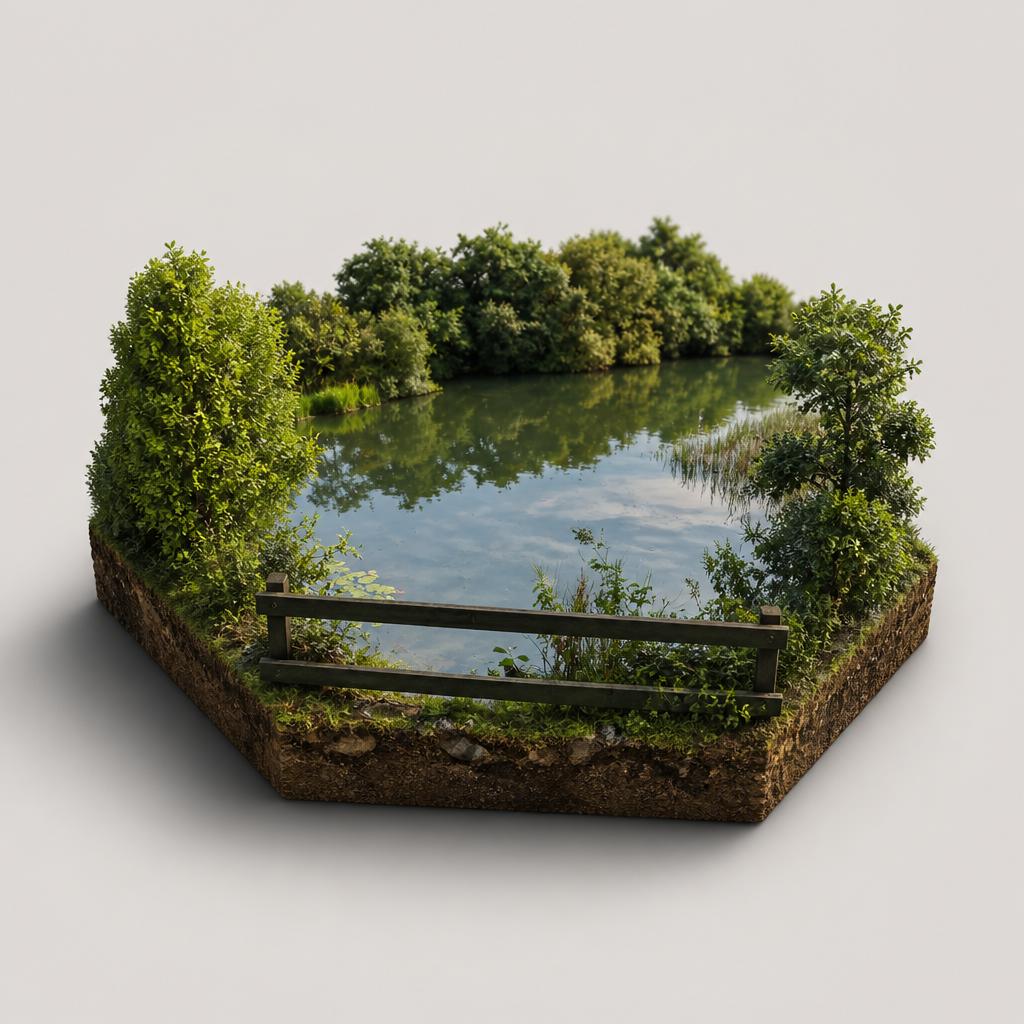
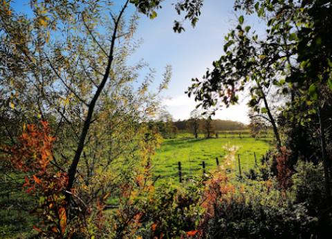
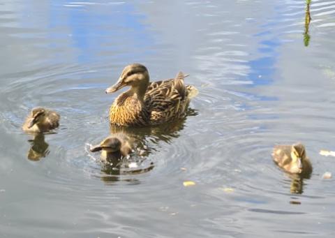
A tucked-away loop through beech woods and along a quiet lake near Dunleer, alive with swans, ducks and birdsong — a free, family-friendly stop in County Louth.
- Highlights
- Easy 1 km (0.6 mile) circular lakeside trail
- Swans, ducks, coot and moorhen on the water
- Beech and oak woodland full of birdsong
- Facilities
- Good for kids · Dog-friendly
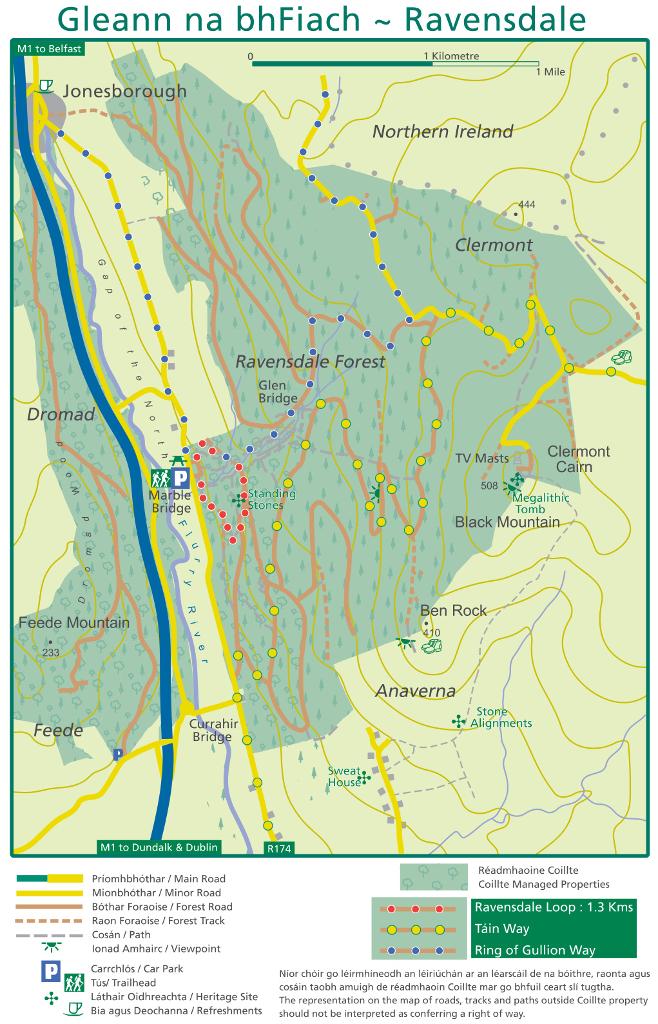
4.Ravensdale Forest Recreation Area
A 506m summit, standing stones and free trails
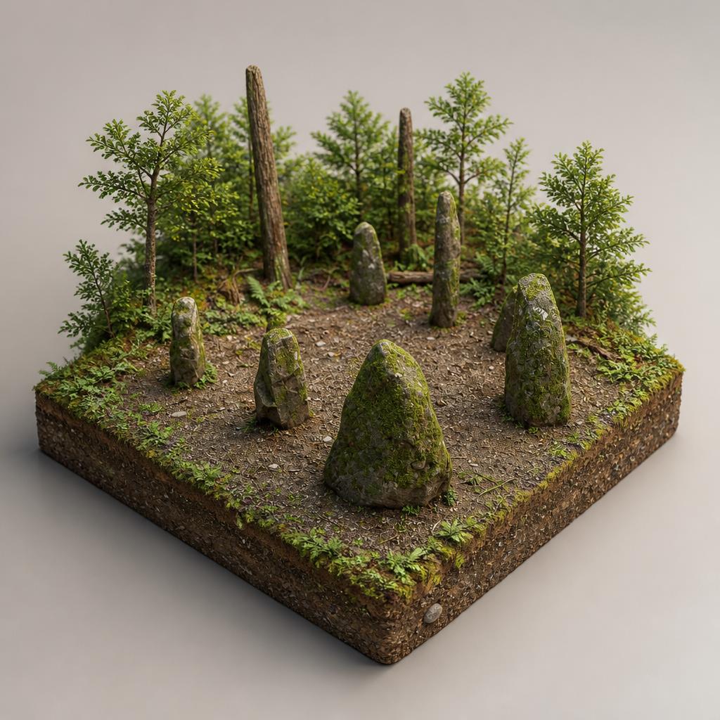
A quiet Coillte woodland on the slopes of the Cooley Mountains, where waymarked trails climb to the 506m summit of Black Mountain past standing stones and old driving roads.
- Highlights
- 1.3 km Ravensdale Loop (red markers)
- Táin Trail and Ring of Gullion waymarked routes
- Standing stones a short detour off the loop
- Facilities
- Dog-friendly · Wheelchair access