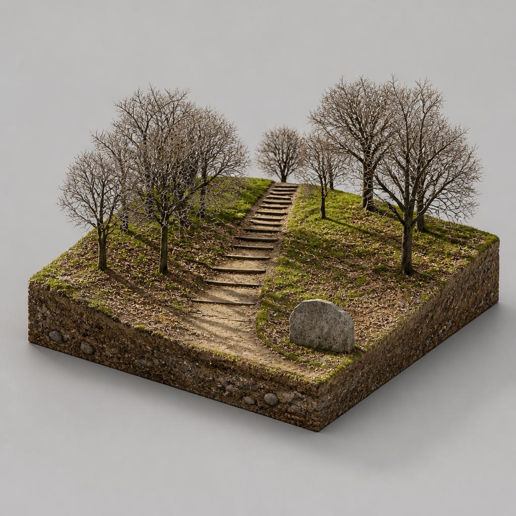
Walk the Ravensdale Loop
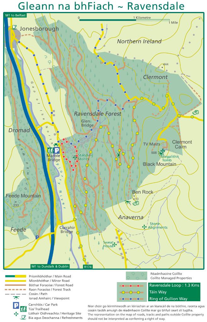
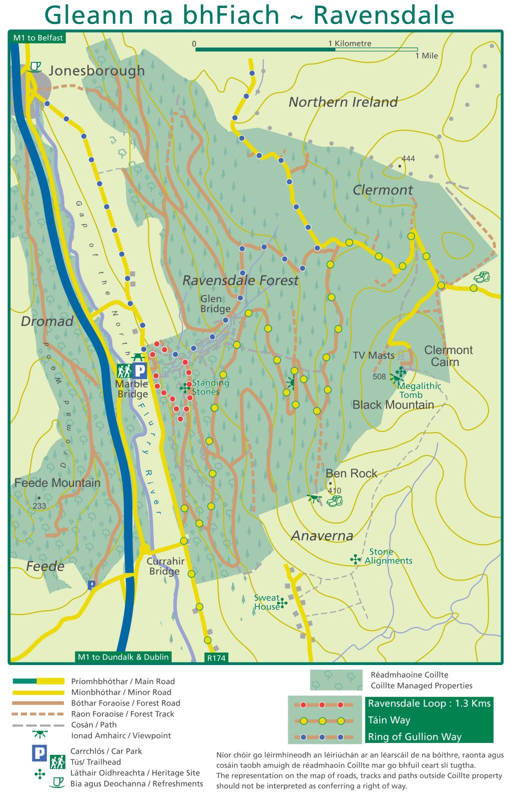
The short, red-marked Ravensdale Loop is 1.3 km and moderate, threading through mainly commercial forest. It is the easiest introduction to the site.
A quiet Coillte woodland on the slopes of the Cooley Mountains, where waymarked trails climb to the 506m summit of Black Mountain past standing stones and old driving roads.
The short, red-marked Ravensdale Loop is 1.3 km and moderate, threading through mainly commercial forest. It is the easiest introduction to the site.
Two longer waymarked routes enter the forest. The Táin Trail, named for the legendary Bull of Cooley, comes in near Curralhir Bridge and climbs over the mountains to Omeath on Carlingford Lough.
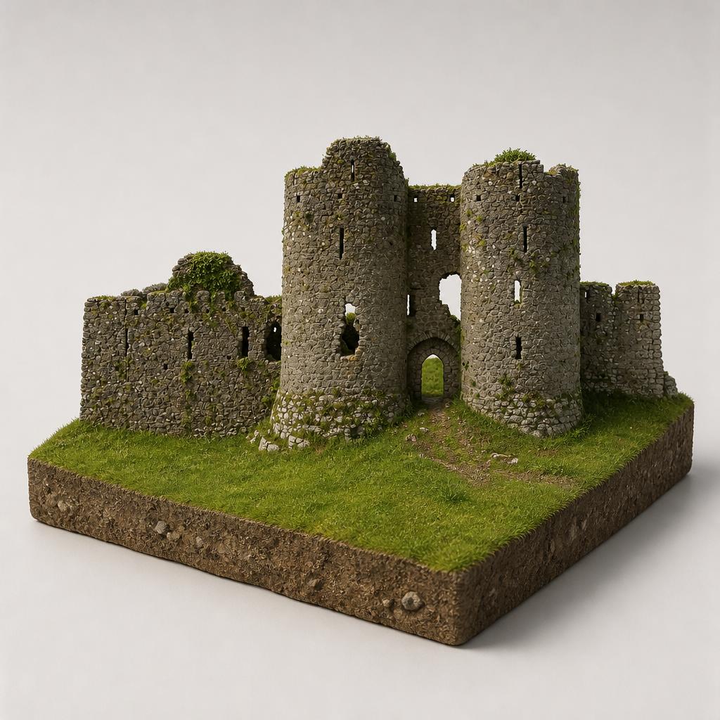
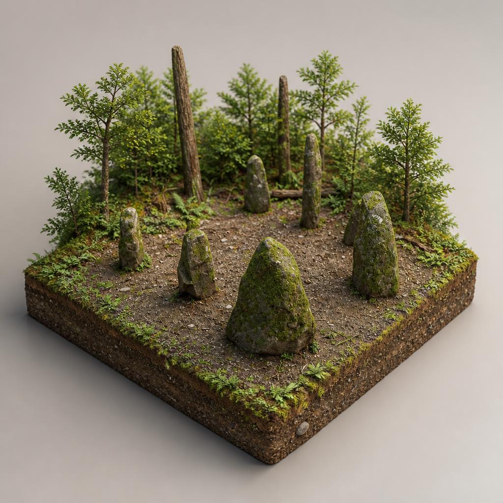
The forest is rich in archaeology: standing stones sit just a short detour off the Ravensdale Loop, alongside old bridges and driving roads, with Clermont Cairn higher up.
Forest roads and tracks climb steeply to the 506m summit, where you get wide views over the surrounding countryside on a clear day.
A picnic site sits by the car park at the start of the trails — a good base before or after a walk.
Load the interactive map to explore this place location.