Comeragh Mountains to the Copper Coast
7 stops · 32 min driving · Waterford · Updated August 2026
Open in Google MapsThis route strings together the wet heart of the Comeragh Mountains and the coast it drains towards: Mahon Falls, the Magic Road's optical illusion, the River Mahon's woodland, and the great glacial corrie at Coumshingaun, before dropping to the Waterford Greenway's Ballyvoyle Tunnel and the Copper Coast at Stradbally Cove. It is one continuous landscape — mountain water finding the sea — and the roads between the stops are short, quiet country lanes. Every stop is free and needs no booking; the mountain ones are open year-round, though the Coumshingaun ridge walk needs clear weather, stout boots and a downloaded map. Start at Mahon Falls car park, do the gravity trick on the Magic Road while you're beside it, and save the flat greenway and beach for the end.
1.Mahon Falls
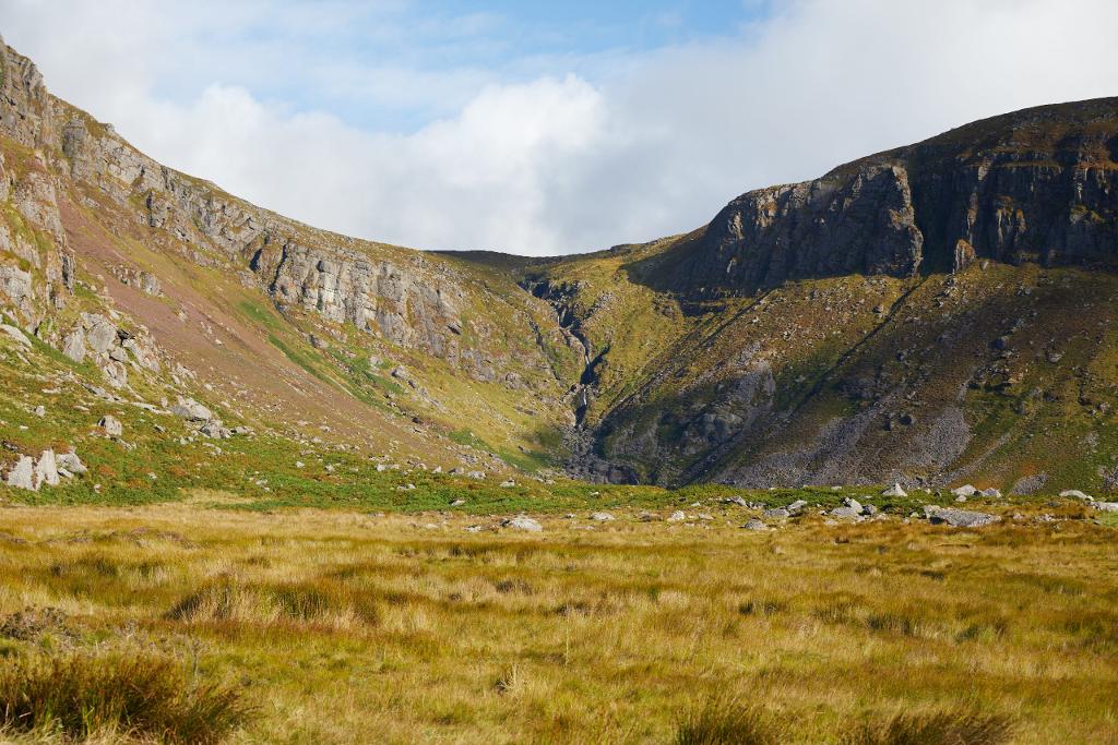
An 80-metre waterfall in a glacial coum
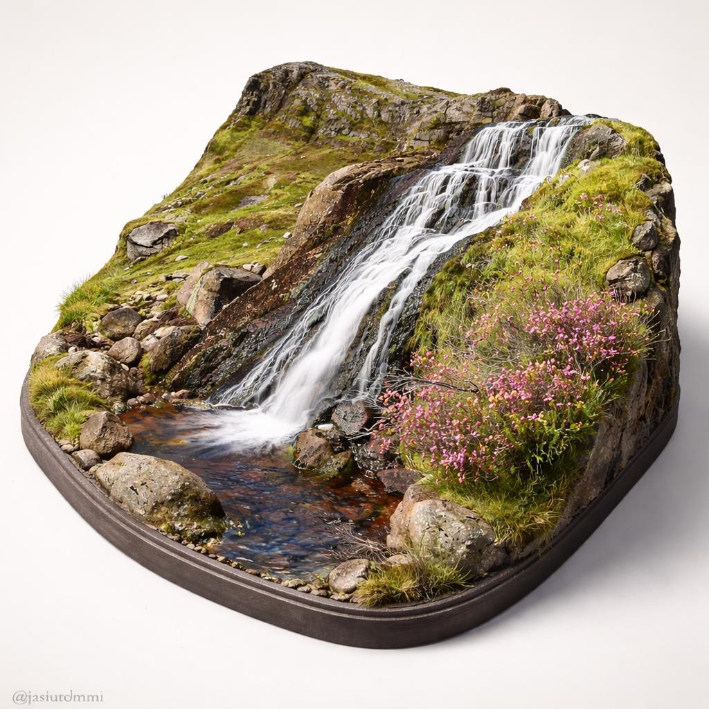
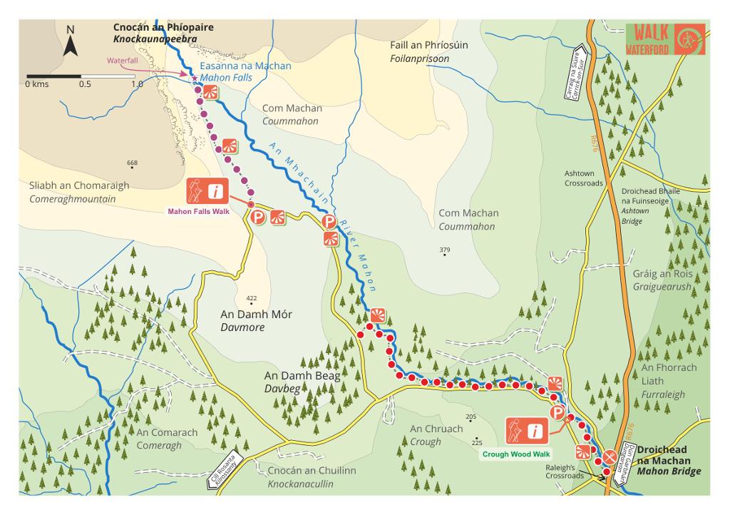
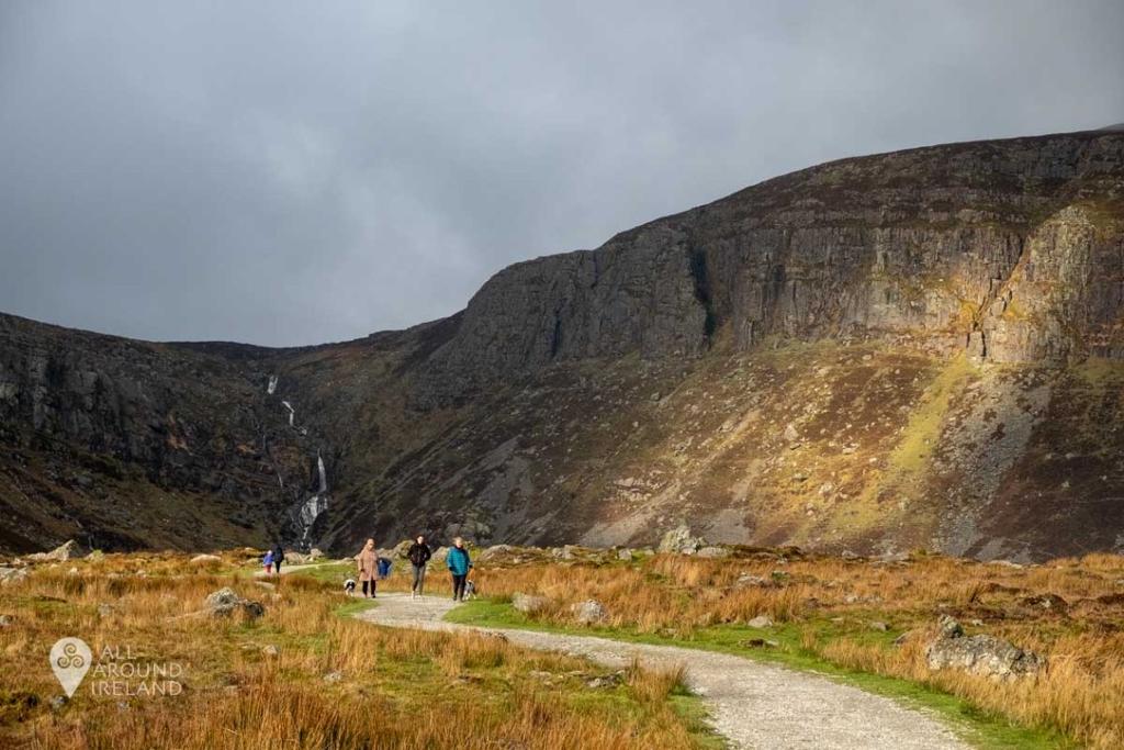
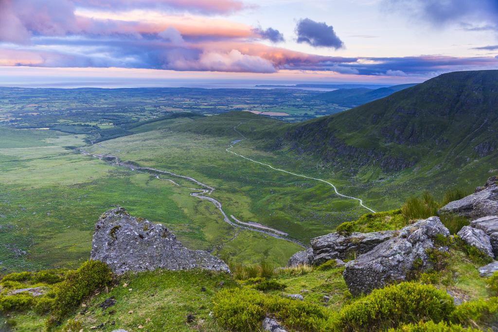
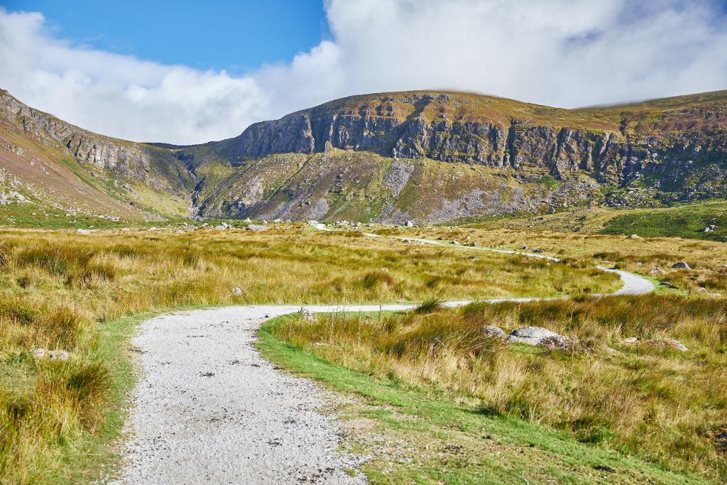
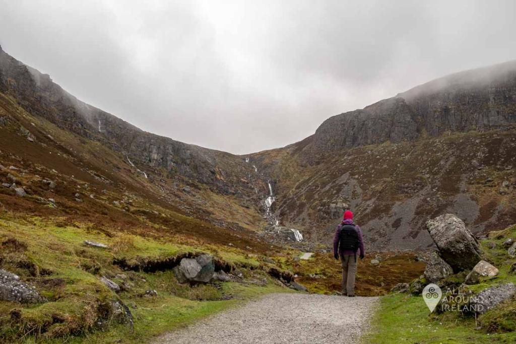
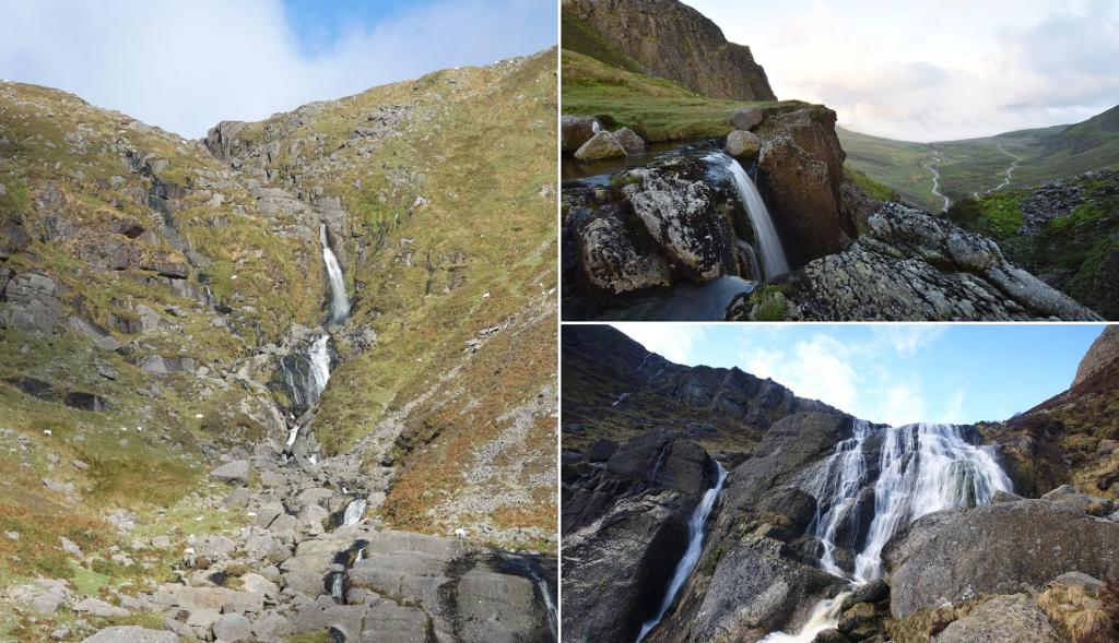
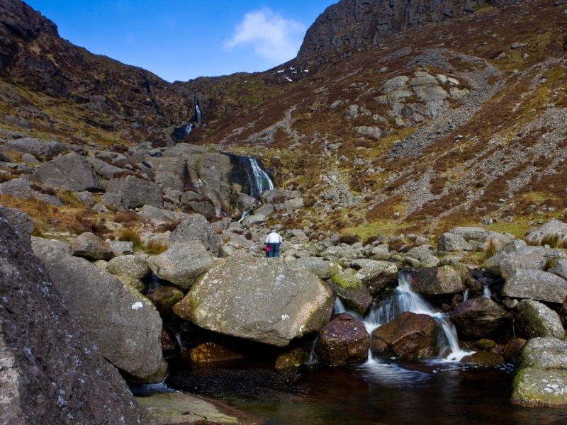
From the free car park a gravel path leads straight to the base of the 80-metre cascade, with the Comeragh valley opening out behind you towards Dungarvan and the sea. The damp ground around the falls supports Wilson's Filmy-fern, and peregrines and buzzards patrol the crags. It is the natural first stop — the mountain water this route follows starts here.
- Tip
- If the main car park is full, overflow parking is a short walk down the road.
↓ 3 min drive · 1.4 km

2.The Magic Road
Where the car rolls uphill
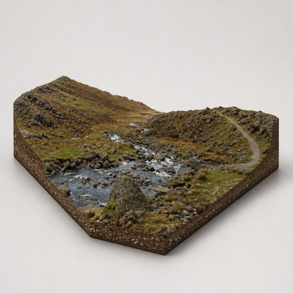
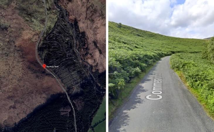
Beside the Mahon Falls car park, a short stretch of public road performs the optical illusion this stop is famous for: park at the bottom of the slope, put the car in neutral, release the handbrake, and the surrounding landscape makes you appear to roll backwards up the hill. The stone marker and rag-draped fairy tree show you have found the right spot — and it costs nothing.
- Tip
- Park on the verge near the fairy tree and the 'Magic Road' marker stone; the Mahon Falls car park is a few hundred metres further along.
↓ 4 min drive · 2.3 km
3.Crough Wood
Ancient oak along the River Mahon
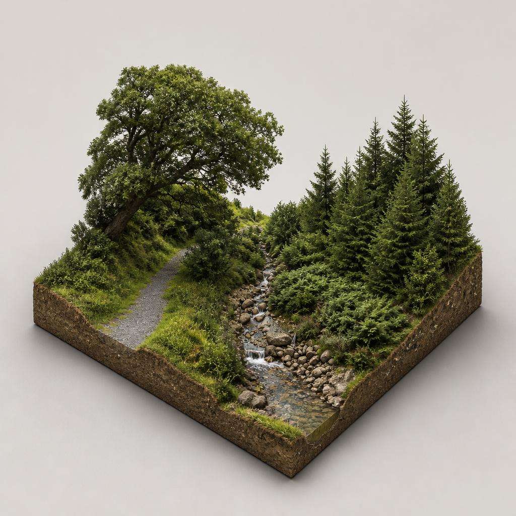
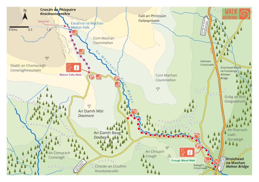
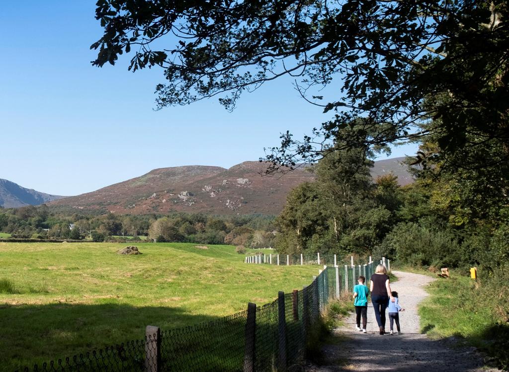
The River Mahon keeps tumbling here, through ancient native oak woodland that won the 2025 RDS Community Woodland Award. A waymarked trail follows the river past cascades, benches and the remnants of a 19th-century corn mill at Furraleigh, with red squirrels and pine martens in the canopy above.
- Tip
- No toilets on site — the nearest public toilets are at Crough Coffee in Mahon Bridge, about a kilometre back towards the bridge.
↓ 5 min drive · 5.1 km
4.Kilclooney Wood Hiking Area
Gateway to the corrie lake
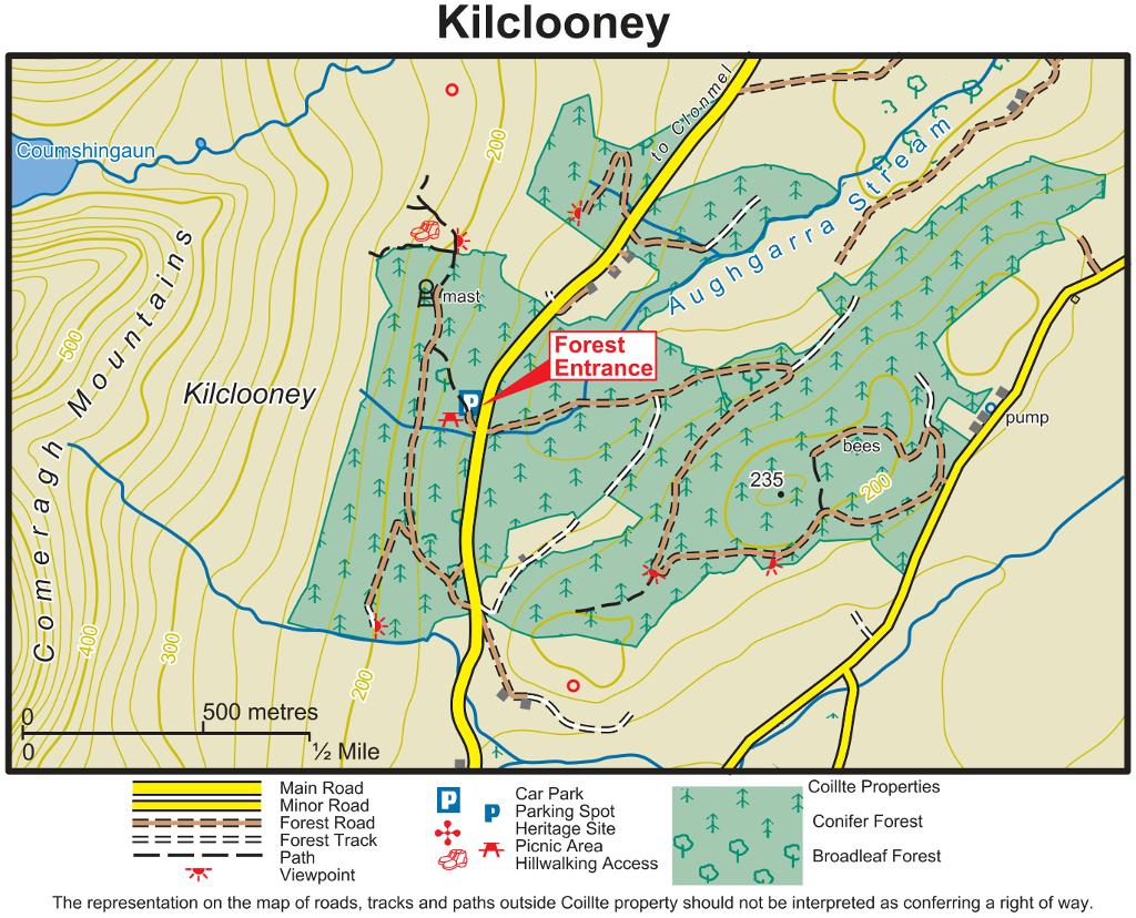
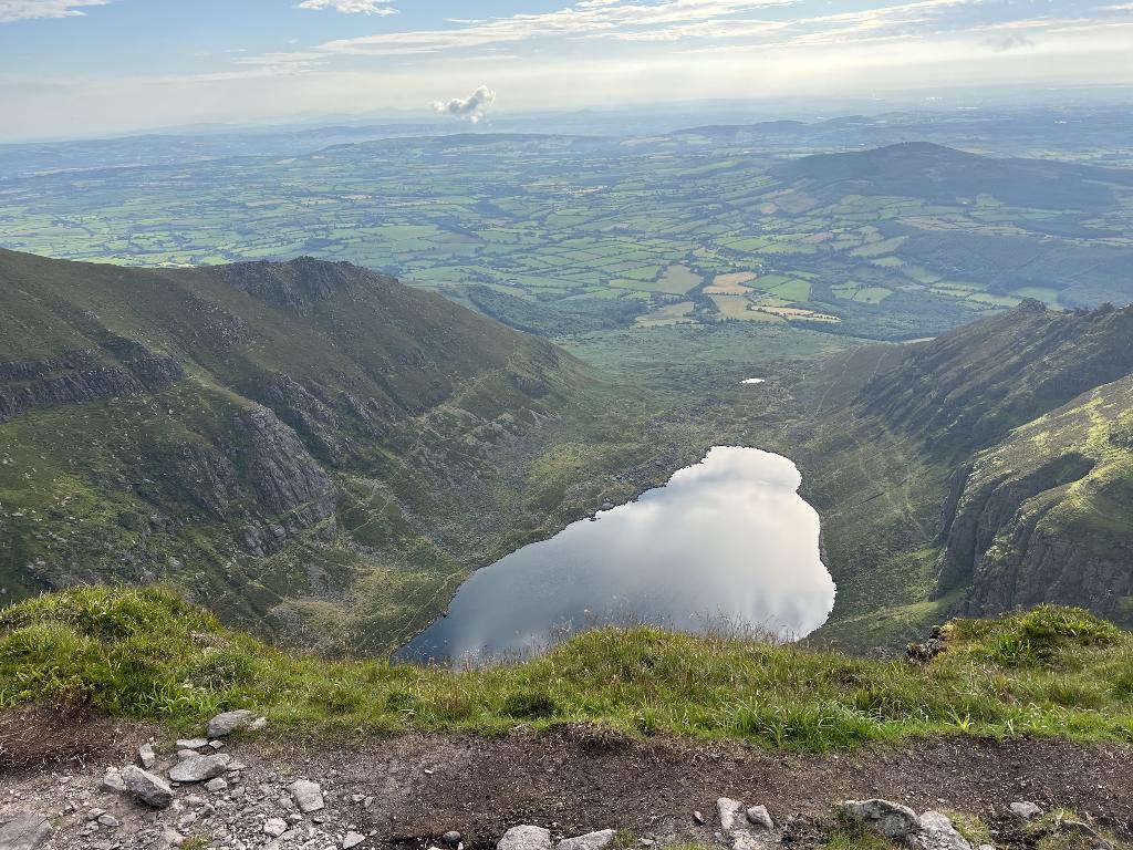
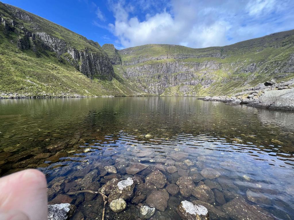
The serious walking starts here. From the car park on the R676, a path climbs to the shore of Coumshingaun Lough — the glacial corrie with 365-metre cliffs that dominates the next stop — while the forest itself holds red squirrels, fallow deer and pockets of broadleaf among the conifers. A picnic site with mountain views makes it a base as much as a destination.
- Tip
- Arrive before 10am or after 3pm on fine weekends — the car park fills early, and the height barrier restricts vehicles over 1.9m.
↓ 1 min drive · 0.3 km
5.Coumshingaun Lake Loop
365-metre cliffs over dark water
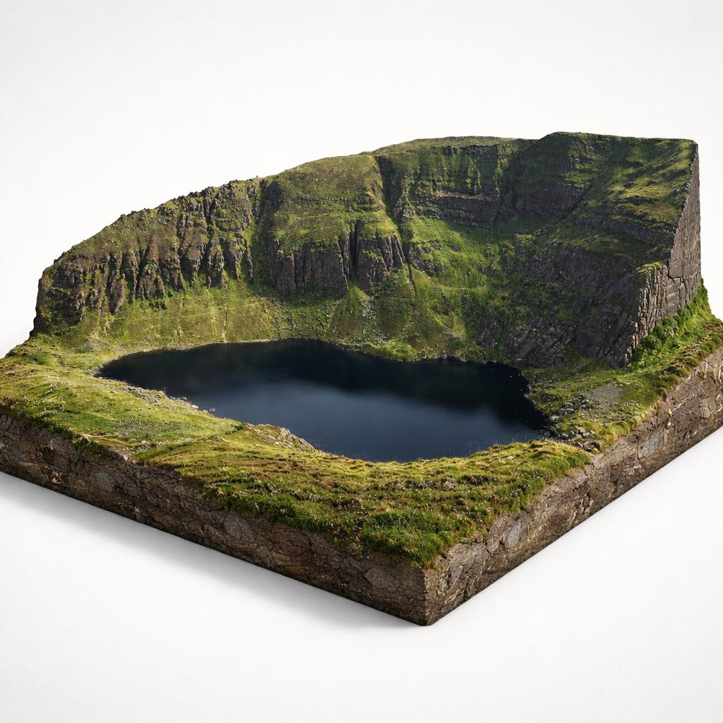
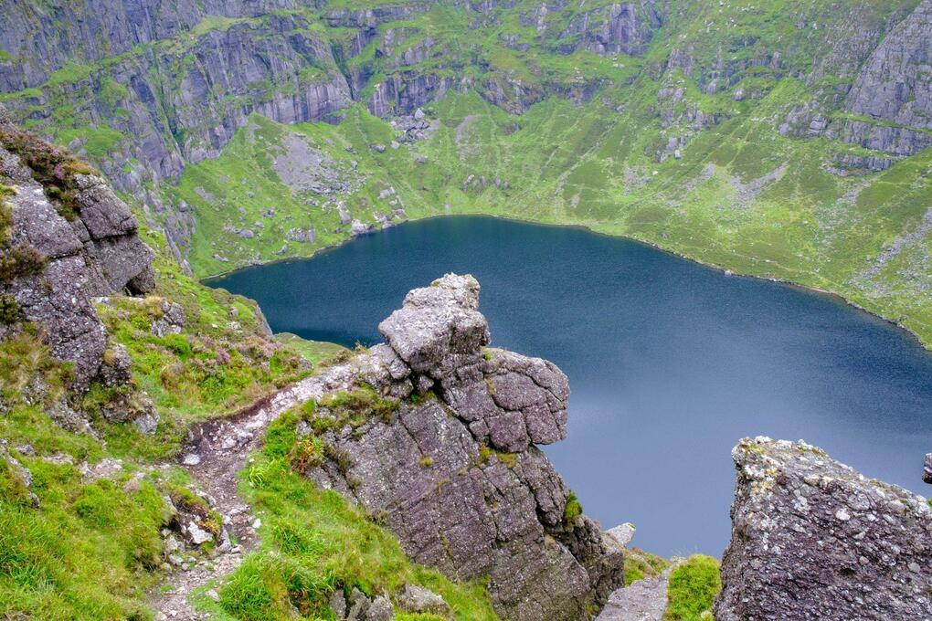
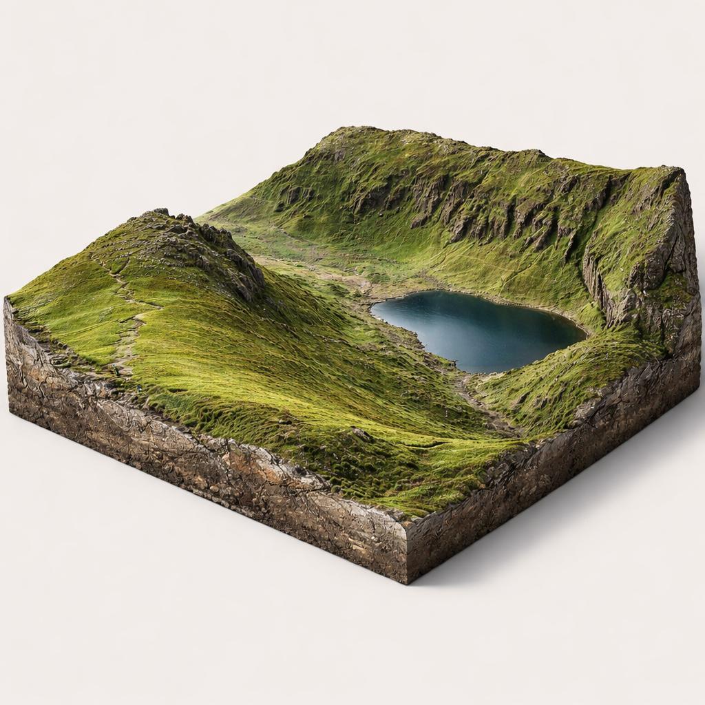
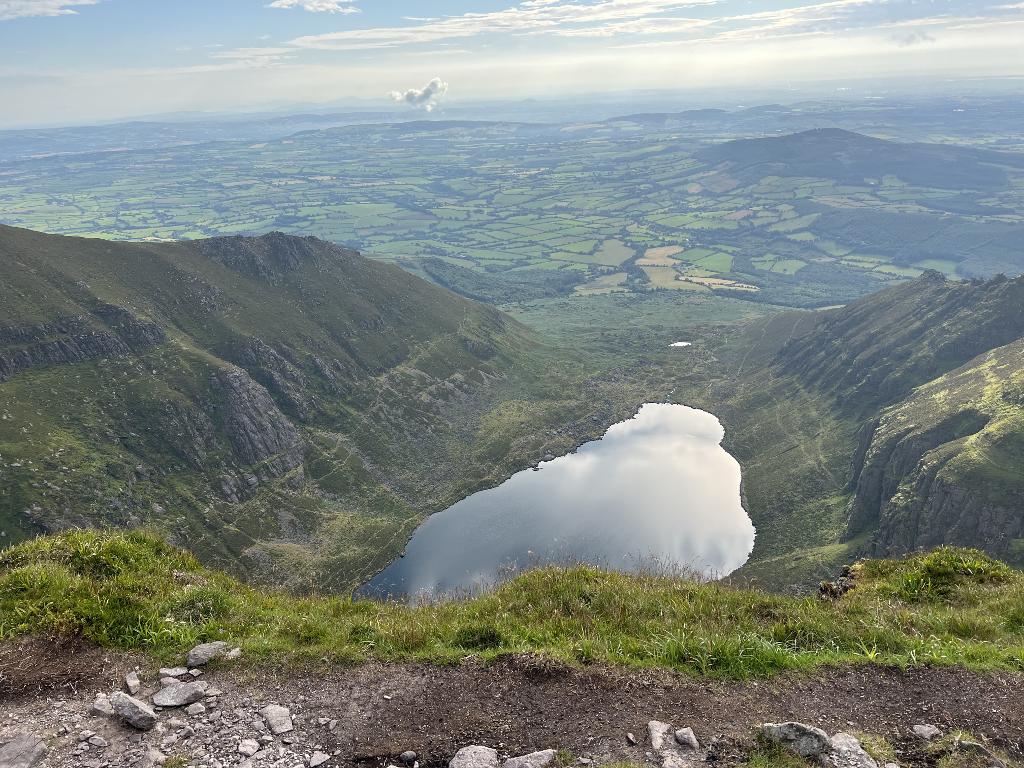
The reason hikers come to this corner of Waterford: a horseshoe ridge walk around a corrie lake enclosed by 365-metre cliffs, with peregrine falcons and feral goats on the high ground. Not for the faint-hearted — exposed scrambling and a faint trail in places — but even the short walk to the lakeshore delivers the amphitheatre of cliffs. It is the route's summit in every sense.
- Tip
- Download an offline GPS map before you go — the trail is unmarked in places — and only attempt the loop in clear, dry weather.
↓ 14 min drive · 15.1 km
6.Ballyvoyle Tunnel
A lit 1878 railway tunnel
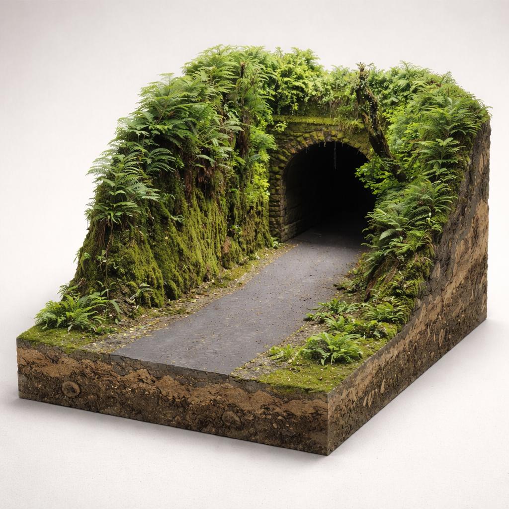
The road drops out of the mountains to the coast, and the landscape changes register: this is the Waterford Greenway, and its centrepiece is a 400-metre brick-lined railway tunnel from 1878, atmospherically lit and open to walkers and cyclists on a flat, well-surfaced path. Beyond its western end, the rebuilt Ballyvoyle Viaduct spans the River Dalligan valley.
- Tip
- Park free at Durrow Greenway Carpark (Shanacool), across from O'Mahony's Pub — a handy rest stop for ice cream or a drink.
↓ 5 min drive · 3.9 km
7.Stradbally Cove
Where the water reaches the sea
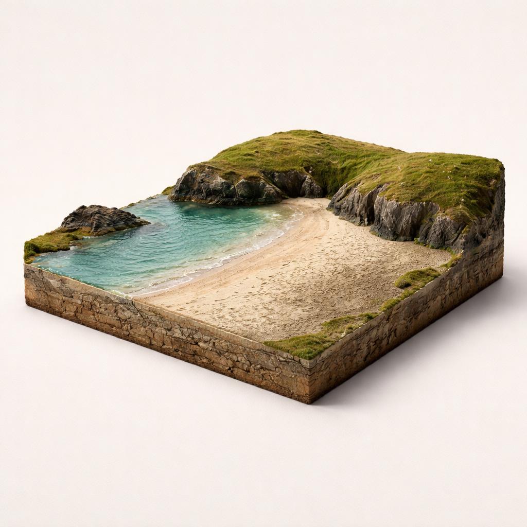
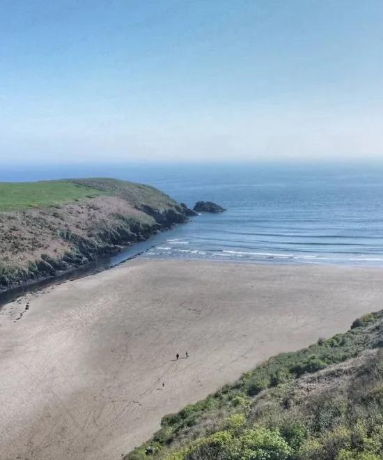
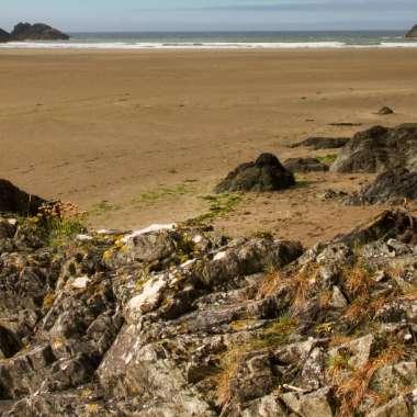
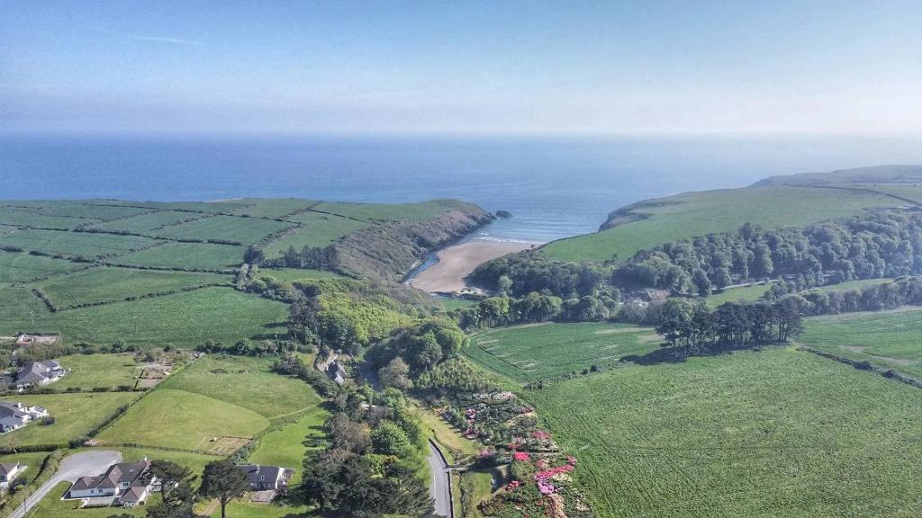
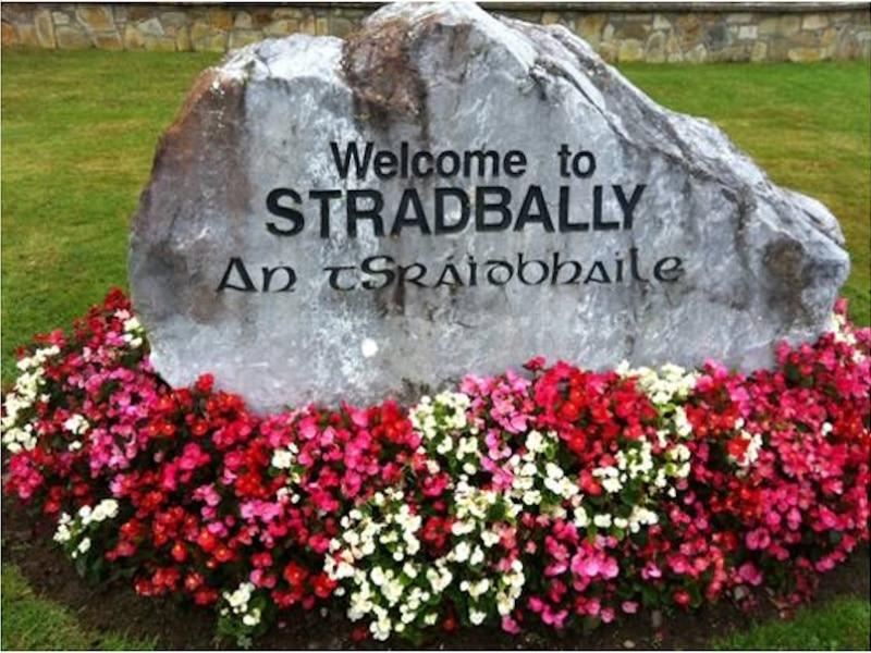
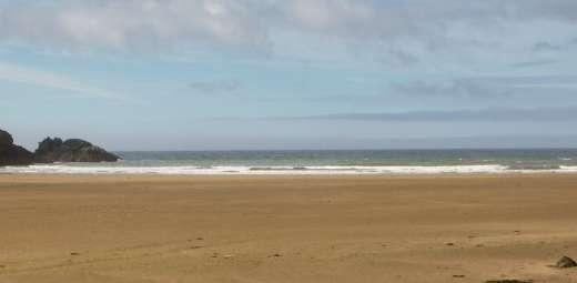
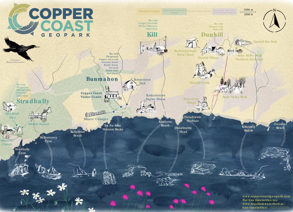
The mountain water finally meets the sea at this sandy cove on the Copper Coast UNESCO Global Geopark, tucked at the mouth of the River Tay between grassy headlands. At low tide acres of sand open out; at high tide the water comes right up for a swim. The cliffs expose dramatic Ordovician volcanic geology, and a historic lime kiln sits inland from the beach — a quiet place to end.
- Tip
- High tide is better for swimming — at low tide the sea retreats a long way — and if the small car park is full, Stradbally village is a short walk uphill.
Frequently asked questions
How hard is the Coumshingaun Lake loop?
Demanding. It is a horseshoe circuit with 600–700m of ascent, exposed scrambling and a faint trail in places, and the ridge is dangerous in cloud, wind or rain. Only attempt it in clear, dry weather with an offline GPS map downloaded. The short walk from Kilclooney Wood car park to the lakeshore gives the same cliffs without the ridge.
Can I do this route without attempting the big hike?
Yes. Mahon Falls is reached by a short gravel path, the Magic Road is a roadside trick, and Crough Wood has a waymarked woodland trail along the river. From Kilclooney Wood car park, a 1.8 km walk leads to the Coumshingaun lakeshore. The Ballyvoyle Tunnel and Stradbally Cove are flat, easy stops.
Where should I park along the route?
Every stop has free parking. Mahon Falls has a car park at the trailhead with overflow a short walk down the road; Kilclooney Wood has roughly 30–35 spaces on the R676 and fills early on fine weekends; and Ballyvoyle Tunnel has the free Durrow Greenway Carpark at Shanacool, across from O'Mahony's Pub.