The Military Road to Lough Tay
3 stops · 11 min driving · Wicklow · Updated August 2026
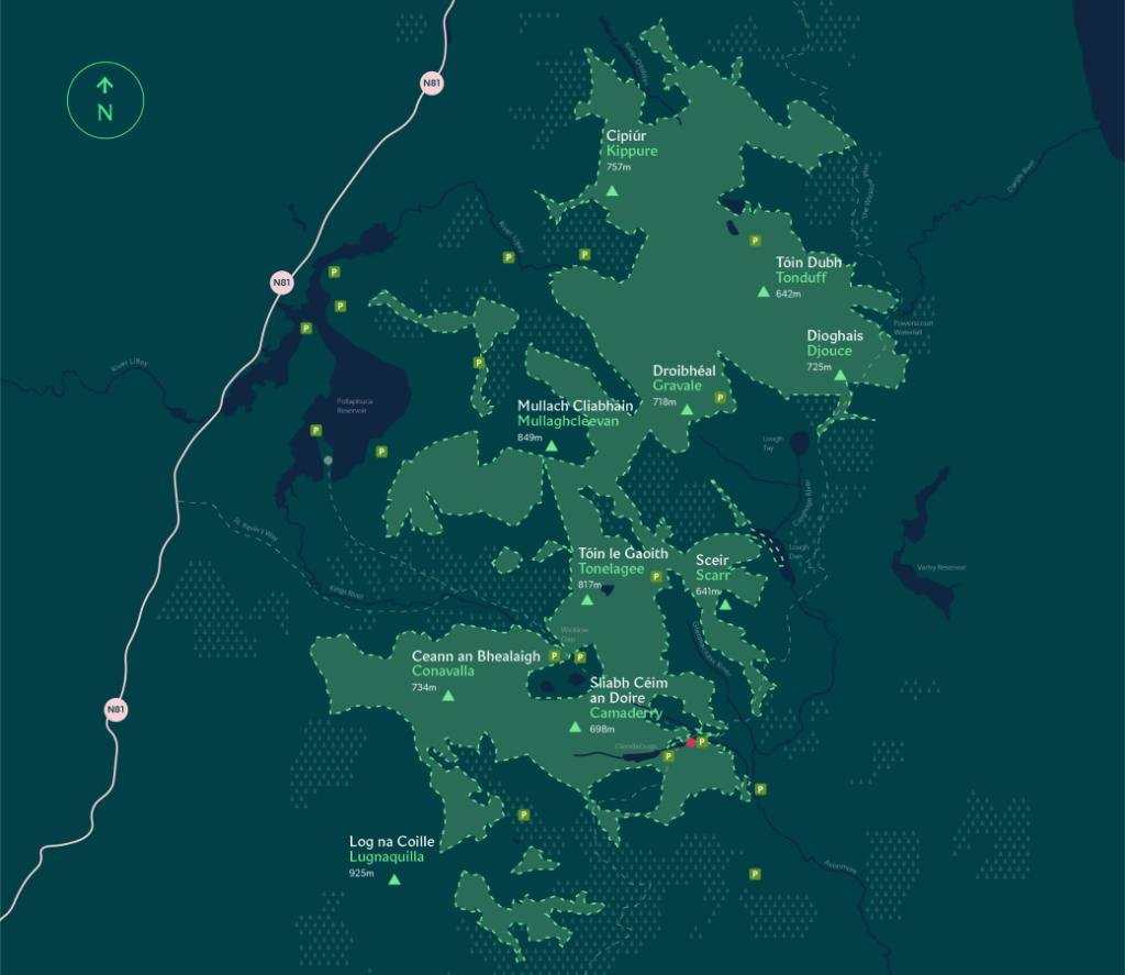
Open in Google MapsRunning south from Dublin through the heart of the Wicklow Mountains, the Military Road strings together this route's three wild stops. It begins inside Ireland's largest national park, where blanket bog, oak woodland and the Upper Lake sit below the Spinc cliffs, then follows the R759 to the lakeside viewpoint that made Lough Tay famous, and finishes across the road in the pine tunnels of Ballinastoe Woods — a stretch of the Wicklow Way that looks back over the same water. The road is narrow in places with pull-offs for photography, and upland weather can change quickly, so carry full rain gear even in summer. Arrive early: the free car parks along the R759 fill fast at weekends.
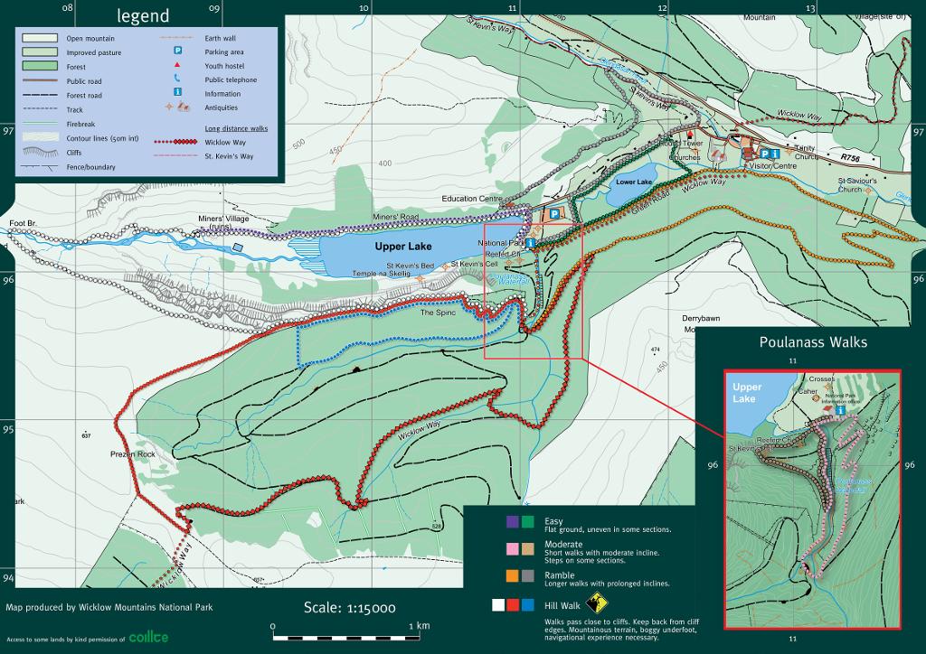
1.Wicklow Mountains National Park
The wild mountain opener
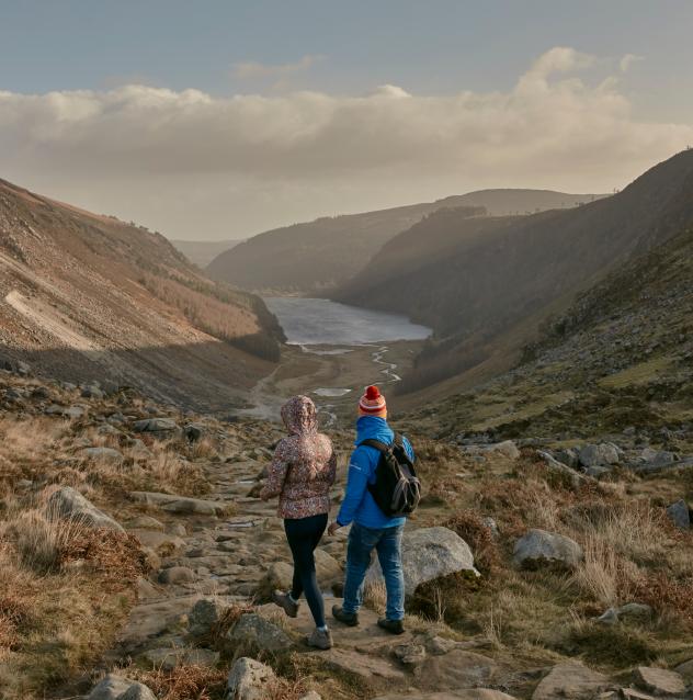
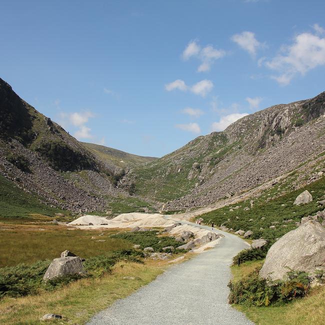
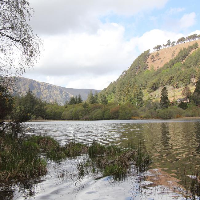
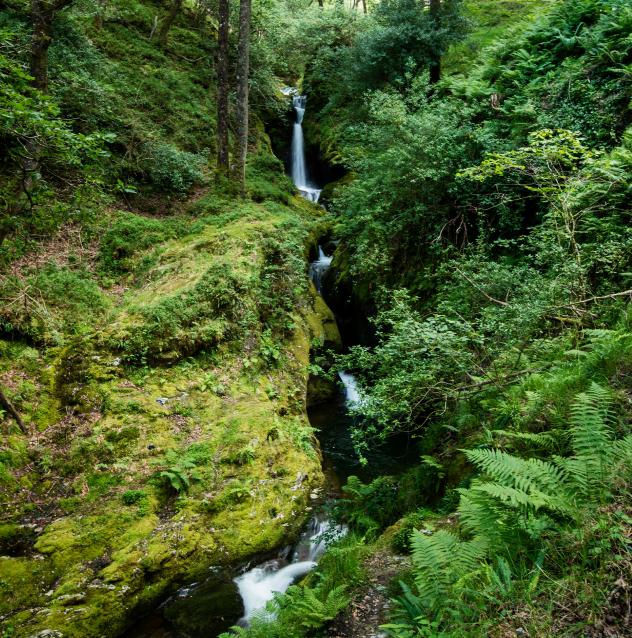
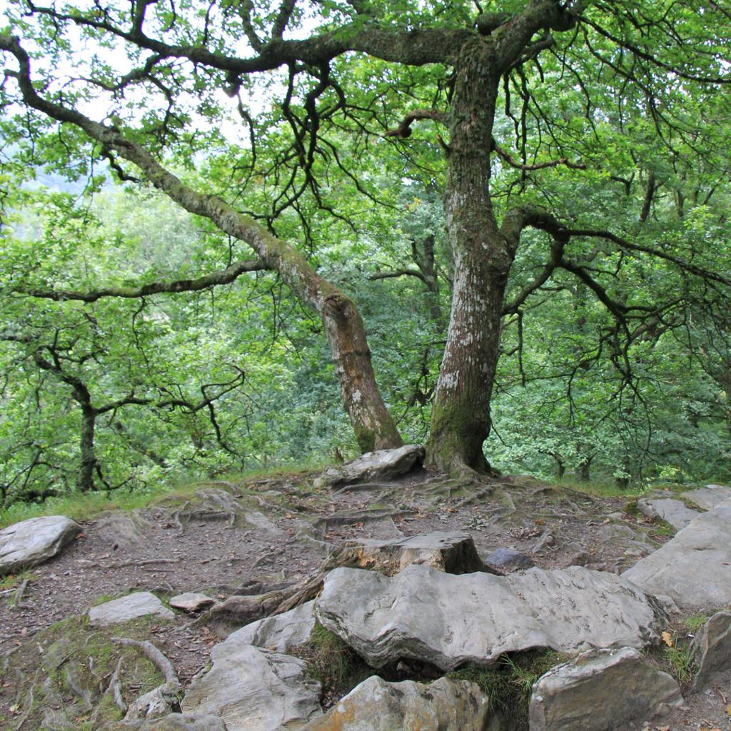
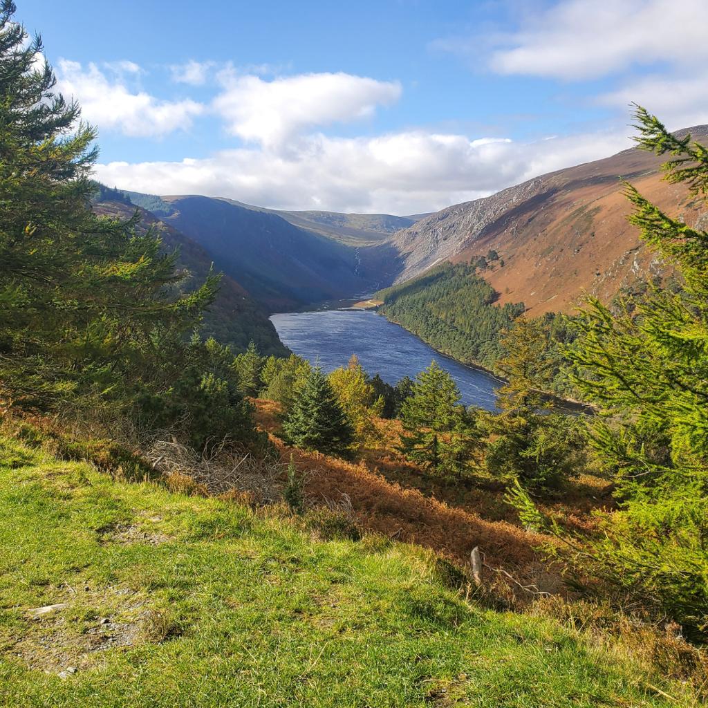
Begin where the drive does — on waymarked trails that climb through ancient oak woodland toward the Spinc cliffs, with the Upper Lake below. The Military Road crosses the same ground, and the information office near the lake is the place to collect trail maps and advice before moving on.
- Tip
- The Upper Lake car park is the nearest trailhead, but it fills early — arrive before 10am on weekends to secure a space.
↓ 9 min drive · 5.7 km
2.Lough Tay
The pint illusion from above
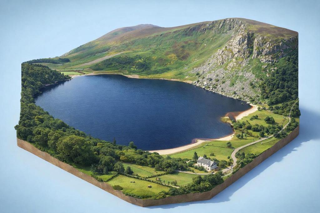
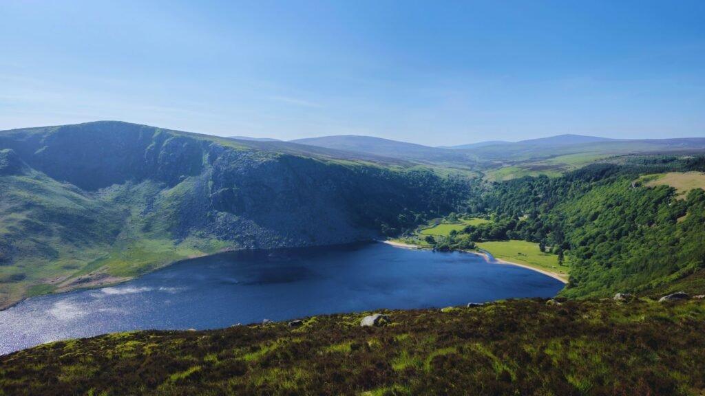
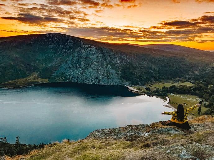
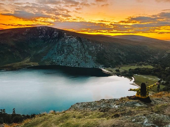
Pull off the R759 at the viewing point and the lake does the rest: dark peaty water meets a white-sand shore to read as a freshly poured pint, framed by Djouce and Luggala. It's the classic first glimpse of the route's centrepiece — and the reason this stretch of road is a stop in itself.
- Tip
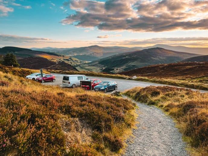
- Use the Lough Tay Viewing Point car park — the safest, most family-friendly panorama, with no need to cross fences or approach drops.
↓ 2 min drive · 1.1 km
3.Ballinastoe Woods
The Middle-earth boardwalk
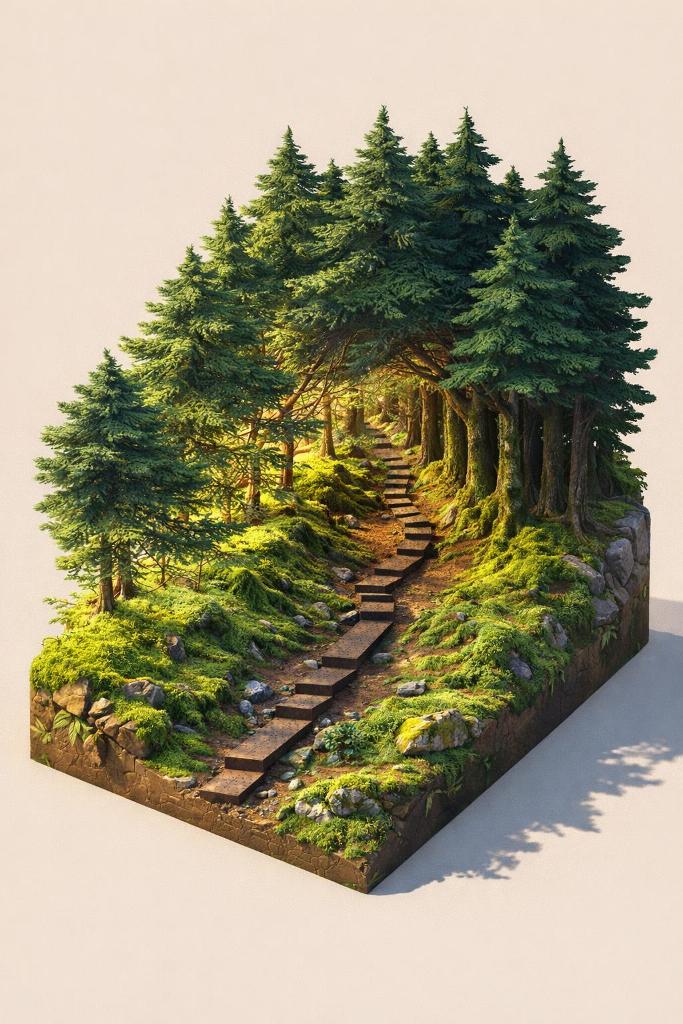
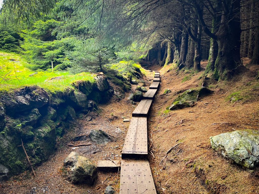
This pine forest is the flip side of the same scene: a boardwalk tunnels uphill through dense Sitka spruce, then breaks out at the J.B. Malone Memorial with a sweeping view back over the 'Guinness Lake'. It's an atmospheric, photogenic way to finish the route.
- Tip
- Go on a misty weekday for the most ethereal light — weekends get packed, and the canopy is dark near sunset.
Frequently asked questions
Where should I park on this route?
The Upper Lake car park at the national park costs €5 and fills early at weekends; a free staffed car park in Laragh sits about 2 km from the lakes. Along the R759, the Lough Tay and Ballinastoe car parks are free but first-come, first-served — arrive before 10am at weekends and in summer.
Is Lough Tay really shaped like a pint of Guinness?
From the R759 viewing point, yes: Lough Tay's dark, peaty water meets an imported white-sand shore, and the contrast reads as a freshly poured pint of Guinness. The effect is clearest from the Lough Tay Viewing Point car park, which is free and open 24/7 year-round.
Is there anywhere to eat or use a toilet along the way?
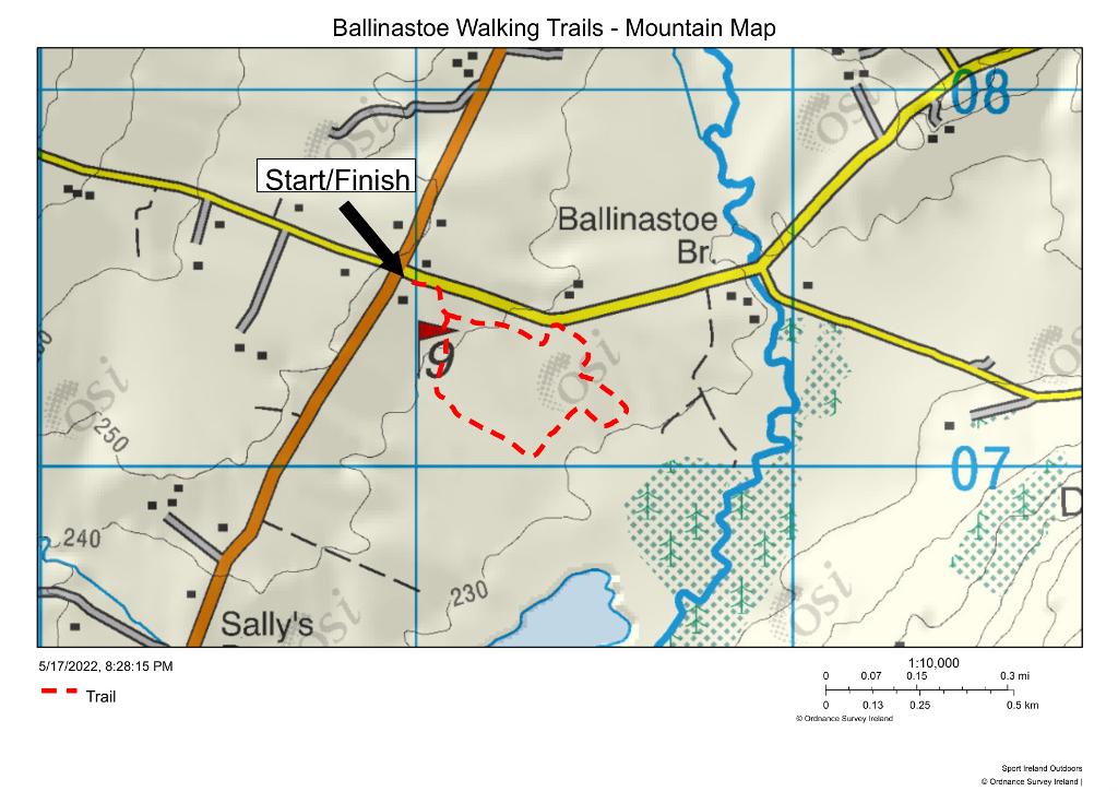
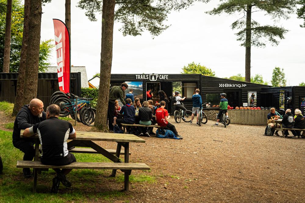
The national park has no café of its own, though the OPW Glendalough Visitor Centre does, and Lough Tay's roadside car parks have no facilities at all — bring what you need. At Ballinastoe, the Trails Café serves coffee, cakes and toasted sandwiches at the MTB centre on weekends only, with a port-a-loo at the Wicklow Way Car Park.