Doolough Valley Famine Memorial

Doolough Valley Famine Memorial
4.8 (424)
Doolough Valley Famine Memorial photo 1
Doolough Valley Famine Memorial photo 2
Doolough Valley Famine Memorial photo 3
See all
Doolough Valley Famine Memorial photo 4
See all

About

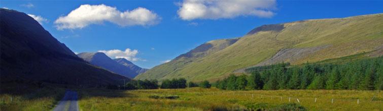
A hauntingly beautiful valley in southwest Mayo where a simple stone cross marks one of the Great Famine's darkest tragedies, set against the dramatic backdrop of Mweelrea Mountain, the Sheeffry Hills, and the dark waters of Doo Lough.

Things to Do

Stop at the Famine Memorial Cross

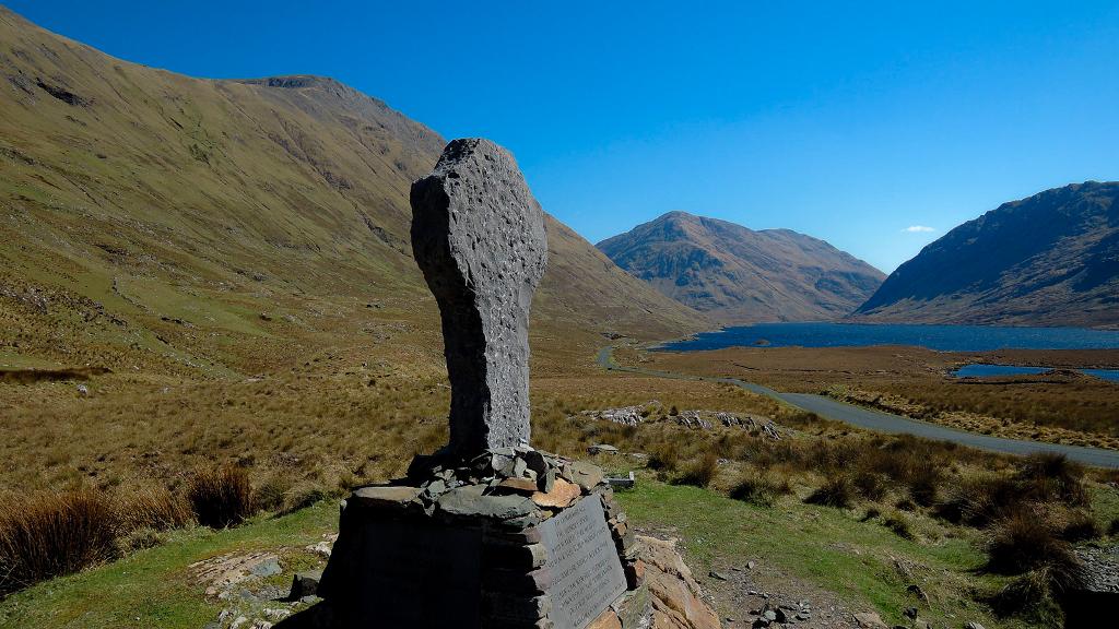
A plain stone cross beside the road, engraved 'Doolough Tragedy 1849' and a line attributed to Gandhi: 'How can men feel honoured by the humiliation of their fellow beings?' It commemorates the hundreds who perished in March 1849 after being turned away from Delphi Lodge and forced to walk back through brutal weather. Park in the small gravel layby and take a moment to reflect.

Stop at the Famine Memorial Cross

Drive the Doo Lough Pass (R335)

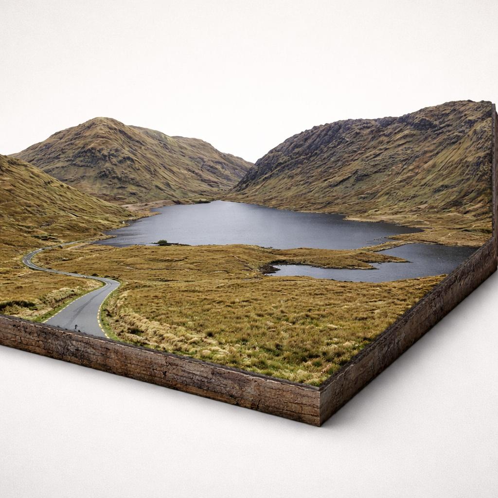
The R335 winds between Mweelrea (Connacht's highest peak at 814 m) and the Sheeffry Hills, past the long dark waters of Doo Lough. The road is single-track in places with few passing points — take it slowly and watch for sheep and cyclists. Either direction works, though locals slightly favour starting from Leenane for how the valley opens out.

Drive the Doo Lough Pass (R335)

Photograph the Lakes and Mountains

After rain the lakes turn to mirrors, creating some of the most photographed scenes in Mayo. Pull over at one of several informal stopping points along the R335 to capture the interplay of water, mountain and sky. The valley is at its most atmospheric under low cloud or mist.

Photograph the Lakes and Mountains

Hike Mweelrea and the Sheeffry Hills

Mweelrea (814 m) is Connacht's highest peak and a challenging but rewarding hike starting from the top of Doo Lough. Easier options include Ben Bury (795 m) and the Barrclashcame & Tievummera loop. Proper gear is essential — conditions change fast and the terrain is boggy.

Hike Mweelrea and the Sheeffry Hills

Cycle the Valley

The R335 through the valley is popular with cyclists drawn by the gradients and the views. Traffic is generally light but the road is narrow in places, so stay alert. Best attempted in fair weather — cycling the pass in rain and wind is grim.

Cycle the Valley

Visit Nearby Aasleagh Falls and Killary Fjord

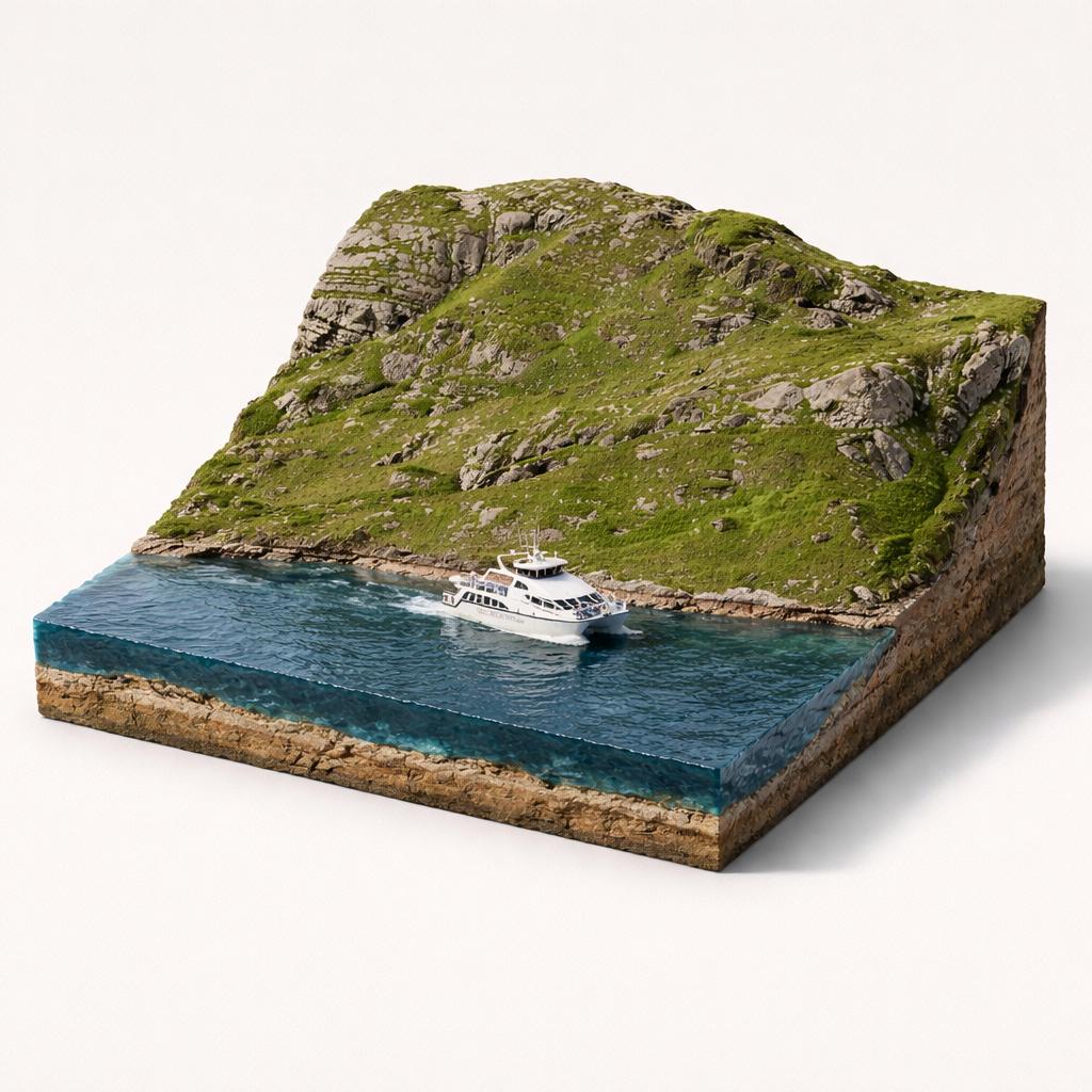
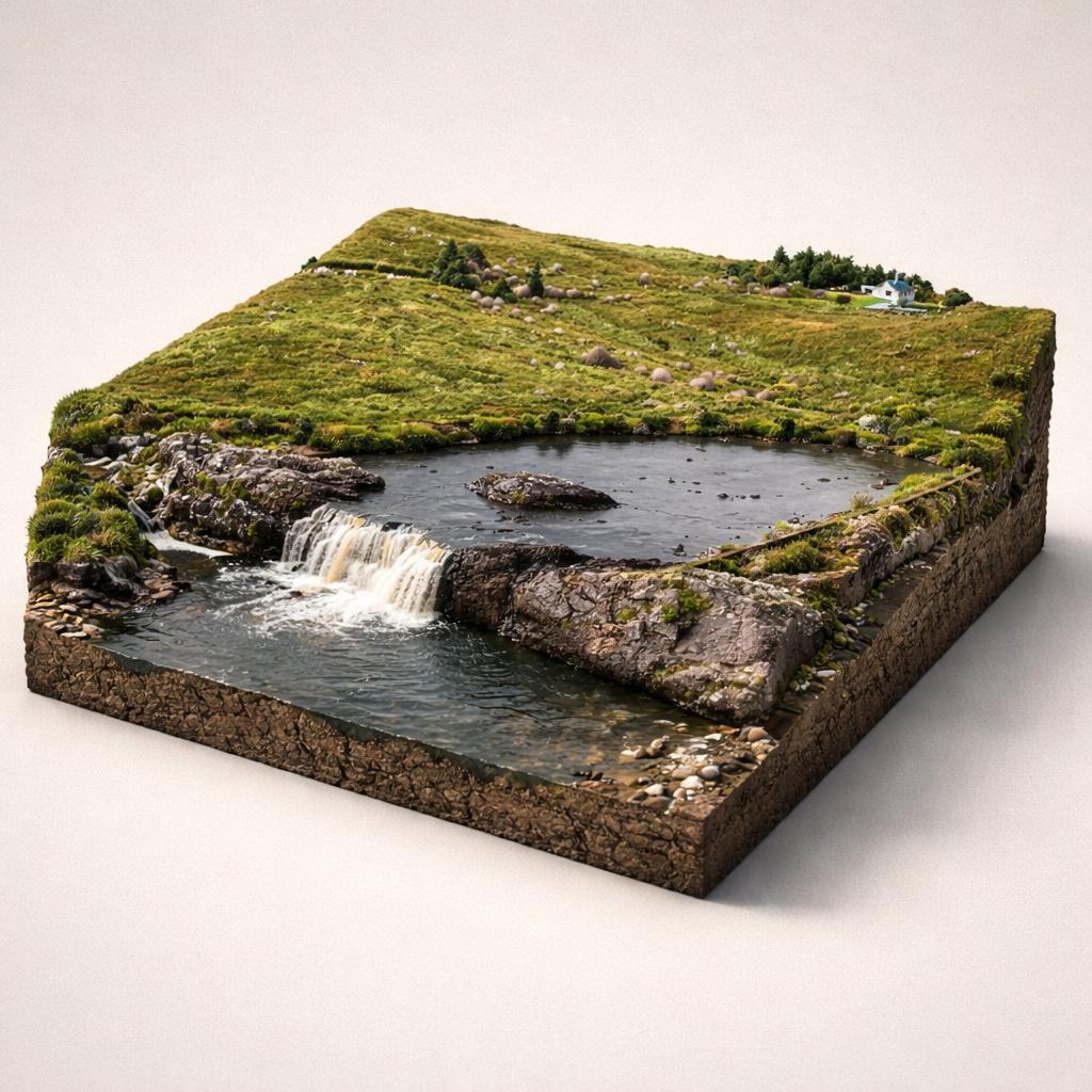
Just south of the valley, Aasleagh Falls on the River Erriff is a short walk from the road. Continue to Killary Harbour, Ireland's only fjord, where you can take a 90-minute boat tour, walk the Killary Famine route, or stop in Leenane for food.

Visit Nearby Aasleagh Falls and Killary Fjord

Plan Your Visit

  • Hours: Open 24/7, year-round — the memorial is on a public road with unrestricted access.
  • Admission: Free
  • Parking: A small gravel layby at the memorial, on a slight incline at the north end of the valley. Easily missed — look for the brown Wild Atlantic Way sign on your right when coming from the north. A few additional pull-over spots exist along the R335.
  • Food: None in the valley. Stock up in Louisburgh (north) or Leenane (south) before setting out. Both villages have pubs, cafés and small shops. The nearest sit-down dining is at Delphi Lodge or Delphi Resort, just south of the valley.

Watch More

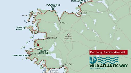
See it on the map

Load the interactive map to explore this place location.

Nearby places