Malin Head

Malin Head
4.8 (728)
Malin Head photo 1
Malin Head photo 2
Malin Head photo 3
See all
Malin Head photo 4
See all

About

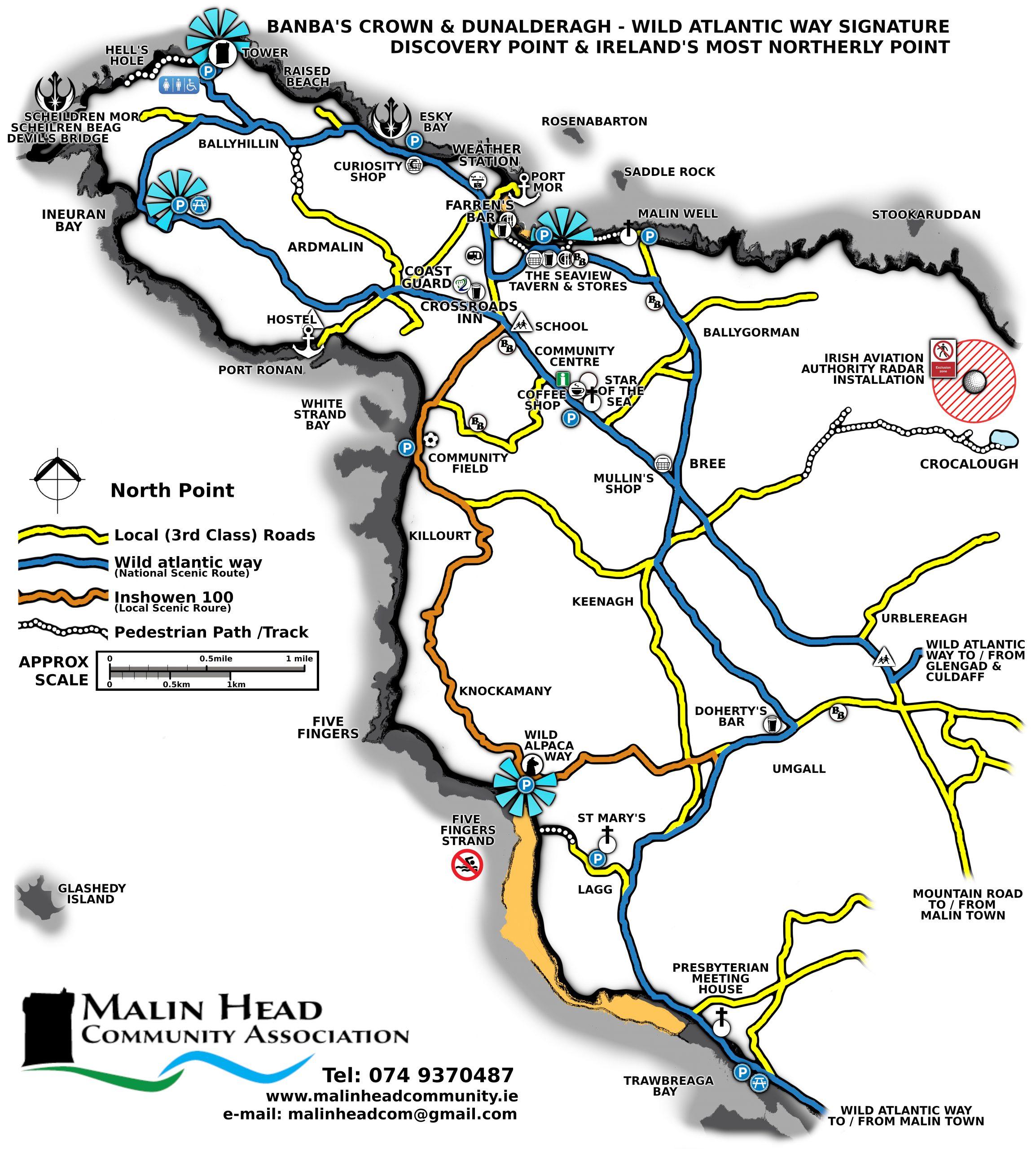
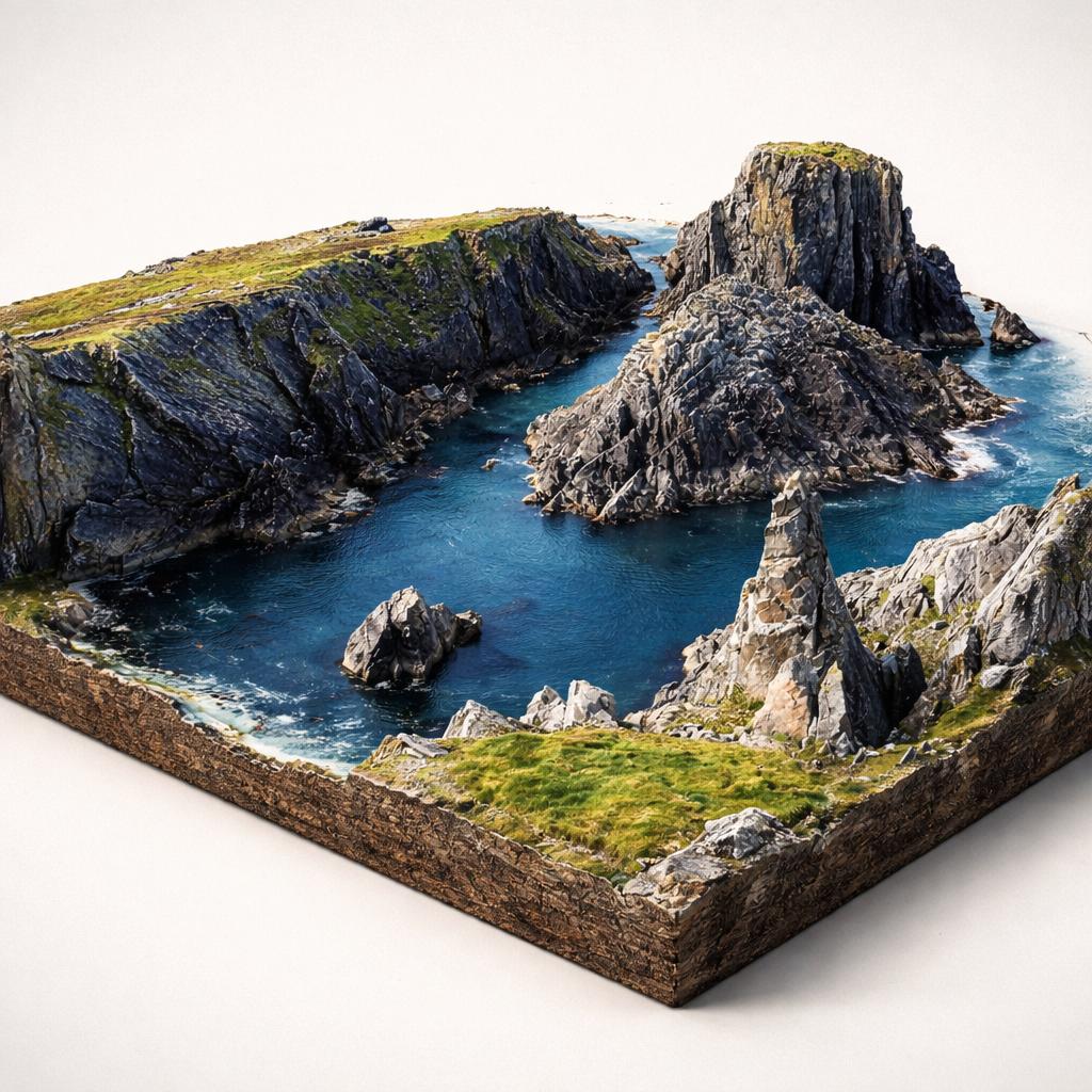
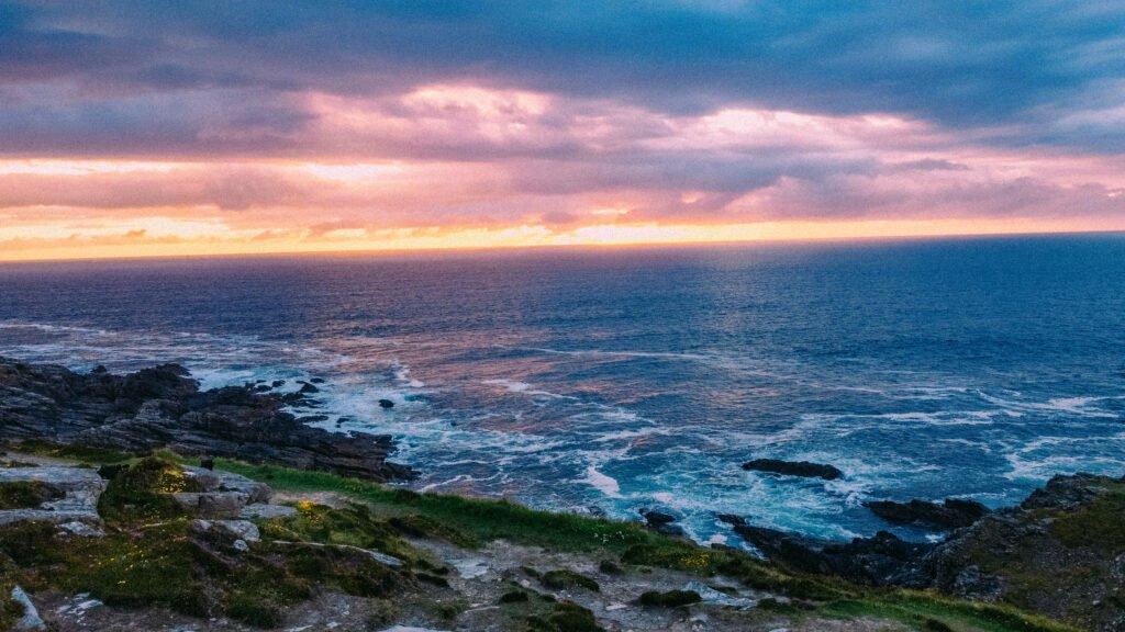
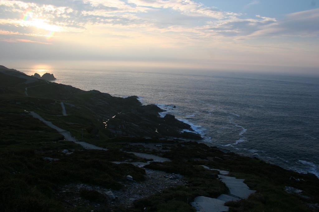
Ireland's northernmost point — a wild, wind-battered headland of sheer cliffs, thundering chasms, and endless Atlantic panoramas on Donegal's rugged Inishowen Peninsula. A Wild Atlantic Way signature discovery point and Star Wars filming location.

Things to Do

Walk the Coastal Trail

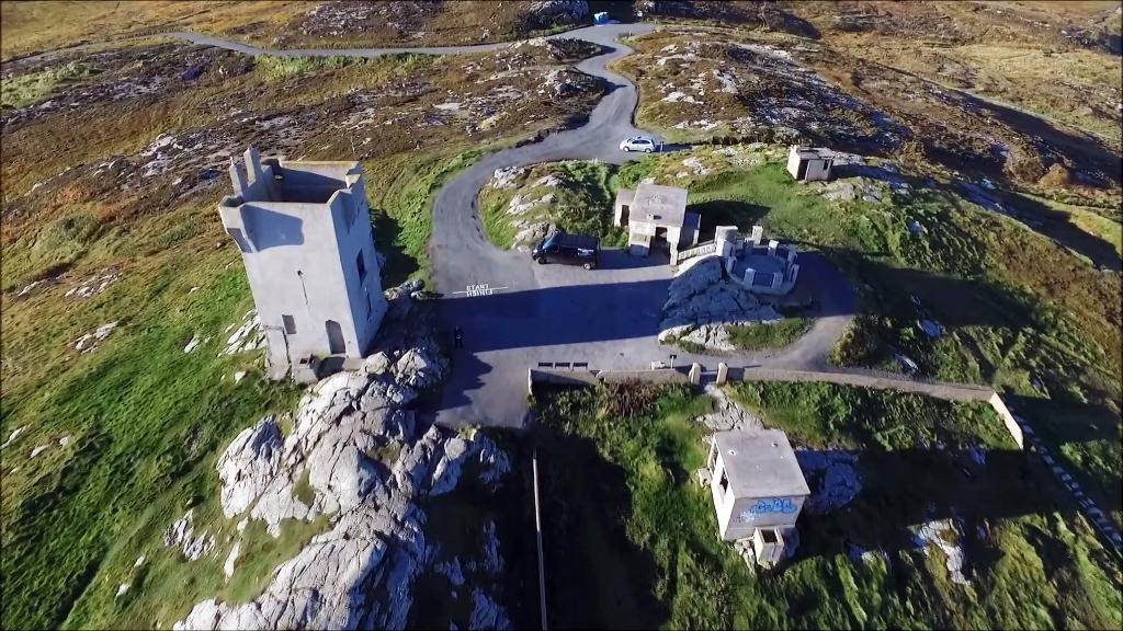
A 2.3–2.5 km out-and-back trail from the car park past Lloyds Signal Tower and the EIRE 80 sign, along the cliffs to Hell's Hole, finishing at the Malin Head viewpoint. Moderate difficulty, purpose-built path with brown fingerpost markers. Allow 40 minutes to 1 hour. Sturdy footwear essential — the terrain is exposed and can be boggy after rain.

Walk the Coastal Trail

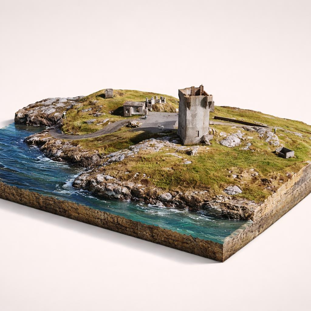
Banba's Crown & The Tower

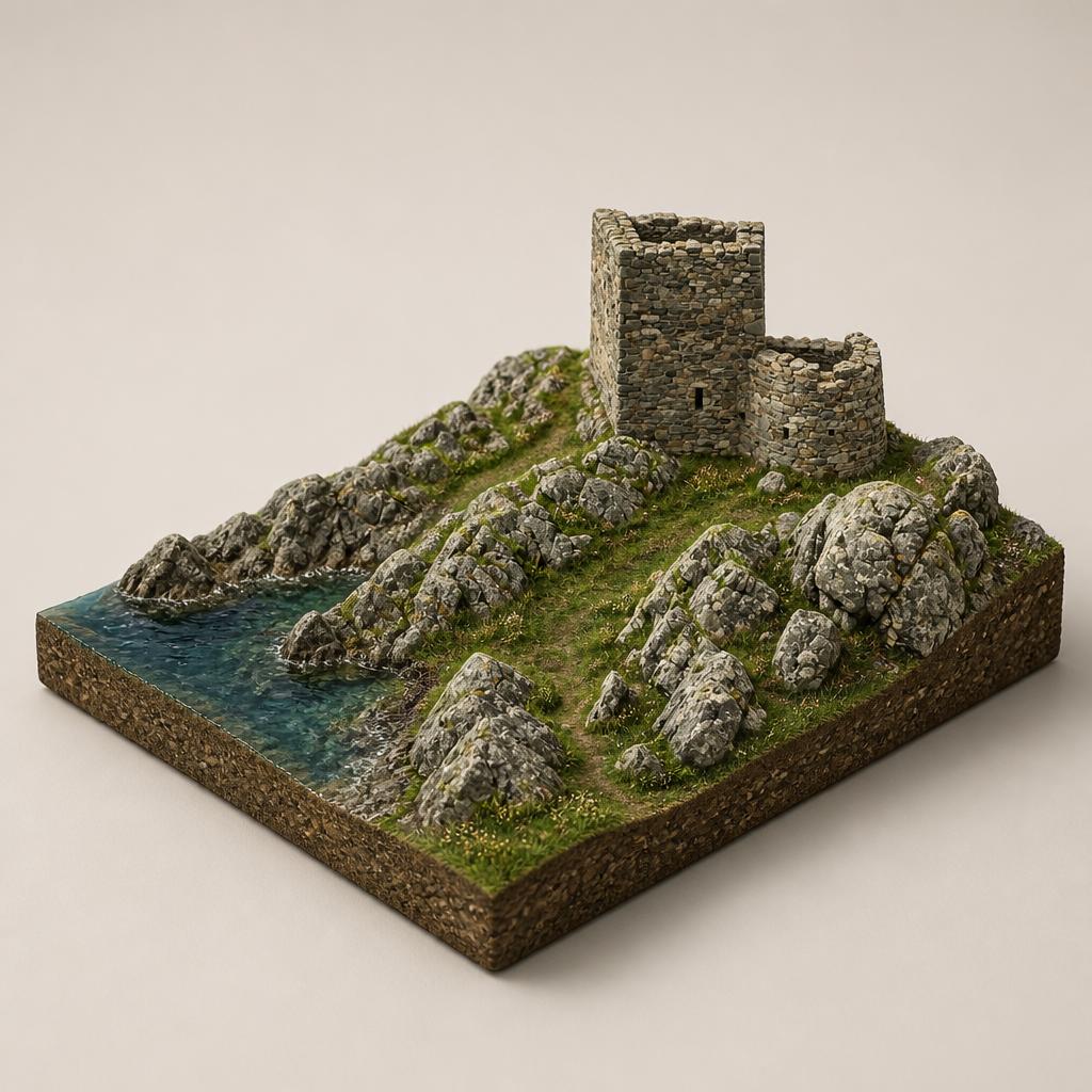
The absolute northernmost tip of mainland Ireland, named after a mythical Celtic goddess. The iconic 1805 signal tower was built during the Napoleonic Wars, later became a Lloyd's of London signal station, and in 1902 hosted the world's first commercial wireless message via Marconi. From here you can see Inishtrahull Island and, on clear days, the Scottish Hebrides.

Banba's Crown & The Tower

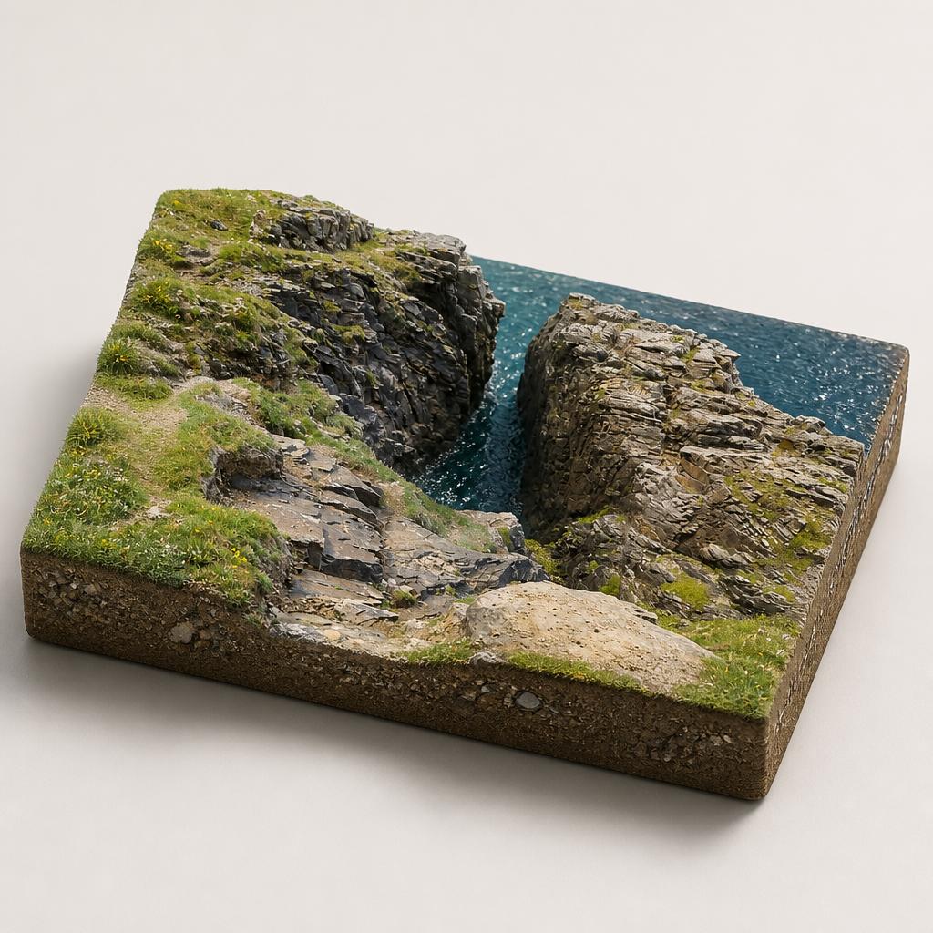
Hell's Hole

A 100-foot-deep chasm blasted into the cliffs about 750m west of Banba's Crown. The Atlantic surges through the narrow neck with a thunderous roar that you'll hear before you see it. Exercise extreme caution near the edges — the path can be vague beyond this point.

Hell's Hole

Scheildren & Devil's Bridge

Malin Head's most photographed rock formations: twin sea stacks whose name comes from the Icelandic 'Skjöldur' (shield). Just beyond lies Devil's Bridge, a dramatic natural arch carved by the sea. The route here is unmarked over heather and shale — proceed with care.

Scheildren & Devil's Bridge

The EIRE 80 Sign

A restored WWII navigational marker, one of dozens placed around the Irish coast to signal neutrality to Allied and Axis pilots. The number 80 is laid out in white stones on the ground just past the tower — a striking piece of hidden history.

The EIRE 80 Sign

Ballyhillin Raised Beach

A scientifically important raised beach below Banba's Crown, showing four distinct stages of post-Ice Age sea-level change. Beachcombers can hunt for semi-precious stones including opal, jasper, amethyst, and topaz.

Ballyhillin Raised Beach

Wildlife Watching & Northern Lights

Scan the waters for basking sharks, bottlenose dolphins, seals, and porpoise. The headland is a dark-sky area and one of Ireland's best spots for the aurora borealis, especially in winter and spring. Birdwatchers may spot gannets, shearwaters, skuas, and the elusive corncrake.

Wildlife Watching & Northern Lights

Plan Your Visit

  • Hours: Open year-round, 24/7. Caffe Banba operates Easter to September only.
  • Admission: Free admission
  • Parking: Two free car parks: a main car park with toilets and a smaller upper car park near Banba's Crown. Both can fill up during summer weekends — arrive early in peak season.
  • Food: Caffe Banba — Ireland's most northerly coffee truck serving coffee and baked goods at Banba's Crown (Easter–September, takeaway only). Farren's Bar — Ireland's most northerly pub, serving drinks and pizzas. Seaview Tavern — full menu with coastal views. Coastline Cafe at the Community Centre — indoor and alfresco seating.

Getting Around

Map

Watch More

See it on the map

Load the interactive map to explore this place location.

Nearby places

Featured in