Keeper Hill Trail - Doonane Forest Carpark

Keeper Hill Trail - Doonane Forest Carpark
4.5 (162)
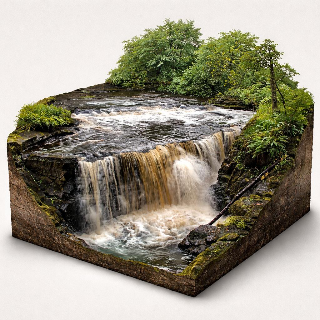
Keeper Hill Trail - Doonane Forest Carpark photo 1
Keeper Hill Trail - Doonane Forest Carpark photo 2
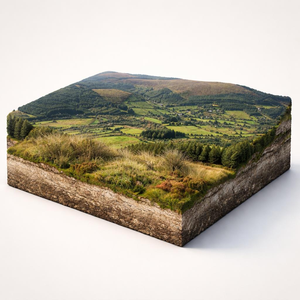
Keeper Hill Trail - Doonane Forest Carpark photo 3
See all
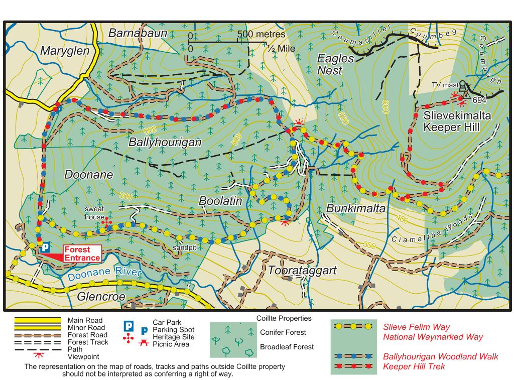
Keeper Hill Trail - Doonane Forest Carpark photo 4

About

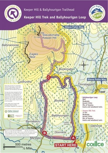
At 694 m, Keeper Hill (Sliabh Coimeálta) is the highest mountain in the Shannon area, and its forested slopes above the River Doonane hide waterfalls, a stone sweathouse and wide summit views.

Things to Do

Climb to the summit (Keeper Hill Trek)

A strenuous 8.2 km trek, allow about 3 hours with some 550 m of ascent, follows red arrows up to the 694 m summit, the highest point in the Shannon area. Gullies and waterfalls line the way, including one known locally as the Spout.
Climb to the summit (Keeper Hill Trek)

Walk the Ballyhourigan Woods Loop

A moderate 8.3 km loop (about 3 hours, 410 m of ascent) on forestry tracks and woodland trails around the lower shoulders of the hill, waymarked with purple arrows. On the descent through the townland of Boolatin you pass a stone sweat house.

Walk the Ballyhourigan Woods Loop

Join the Slieve Felim Way

A section of this 43 km long-distance waymarked way from Murroe to Silvermines village passes through the Doonane and Ballyhourigan woods, so the loop can be extended into a longer day out.

Watch for hen harriers and wildlife

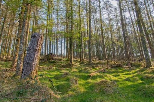
The woods lie within a Special Protection Area for the hen harrier; scan the uplands for silver-grey males with black wingtips and brown females with a white rump. Look too for the mixed woodland of beech, larch, spruce, ash and pine.

Find the sweathouse and archaeology

A stone sweat house sits close to the forest road and other archaeological features lie just off the trail; a signposted mass rock is only a few minutes' detour from the loop.

Plan Your Visit

  • Parking: A large semicircular gravel car park sits at the trailhead in the southwest corner of the hill, on a small road north of Bleanbeg Bog and just across the River Doonane. From the village of Toor follow the road towards Newport, then after about 2 km turn right onto a minor roadway and follow the Trailhead signs.
  • Food: No café or shop on site - the official list of on-site facilities covers only the car park and walking trails. The nearest places to eat are in Newport and Toor.

Watch More

See it on the map

Load the interactive map to explore this place location.

Nearby places