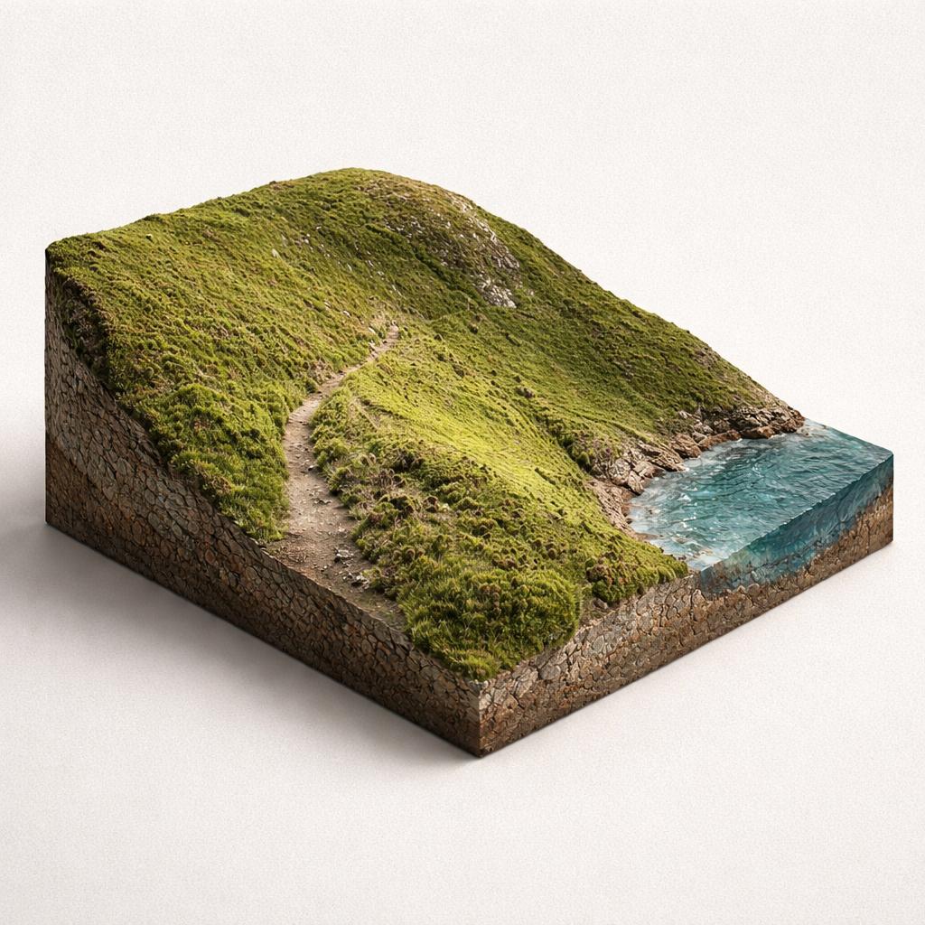
Cliff Path Loop (Green Route)
The classic Howth walk: a 6 km, 130 m loop from Howth DART station along the harbour and up the sea cliffs to the Summit, returning via the Upper Cliff Path. Allow about 1.5–2 hours.
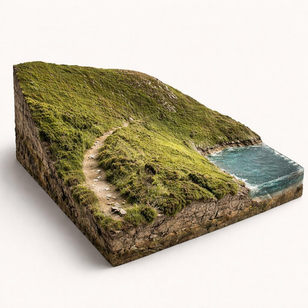
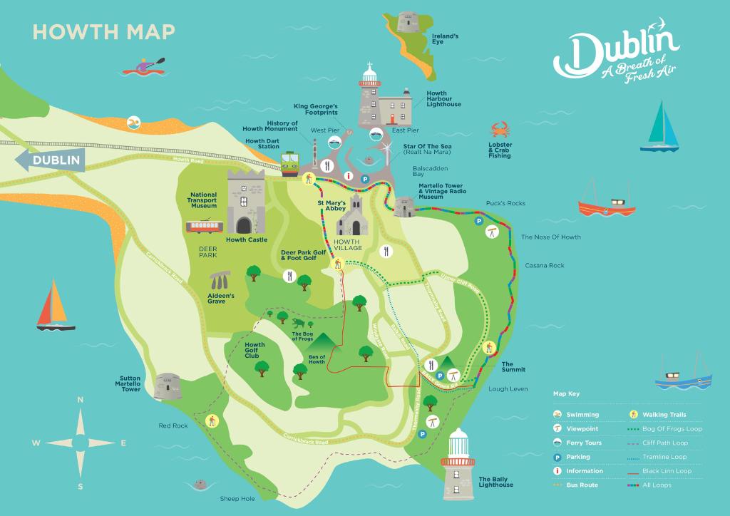
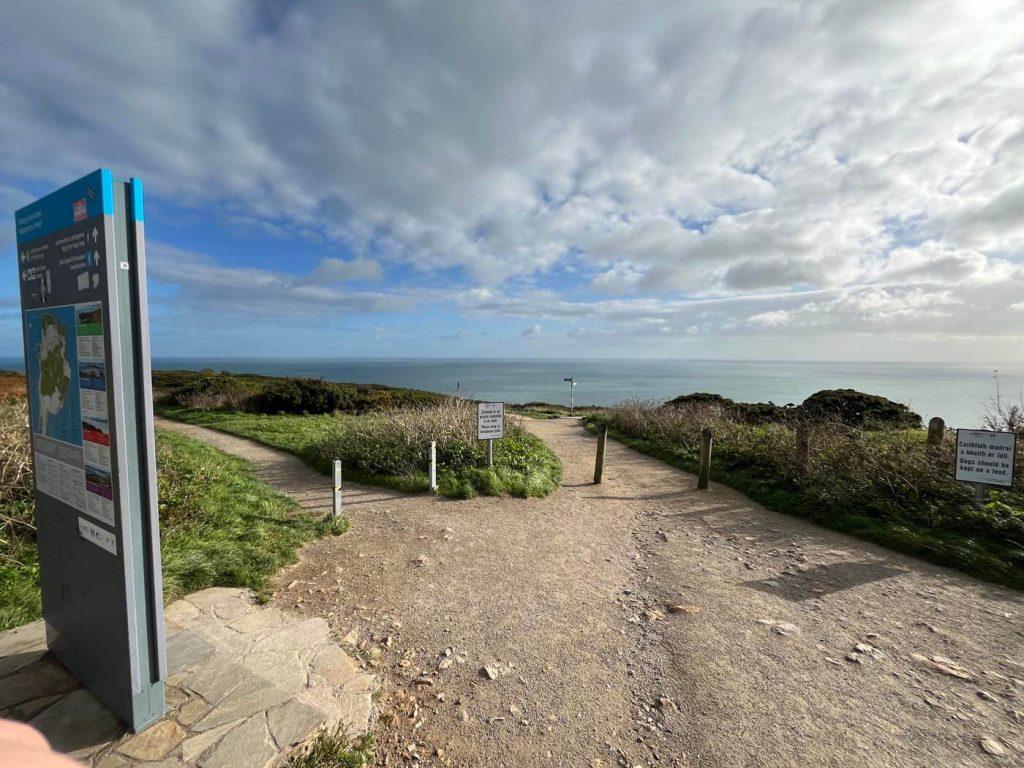
A network of four colour-coded, way-marked loops around Howth Head, where Dublin Bay sea cliffs, seabird colonies and the Baily Lighthouse are all free to walk and reachable by DART.
The classic Howth walk: a 6 km, 130 m loop from Howth DART station along the harbour and up the sea cliffs to the Summit, returning via the Upper Cliff Path. Allow about 1.5–2 hours.
A 7 km blue-arrow loop that climbs the cliffs to the Summit and returns along the historic old tramline, with fine views of Ireland's Eye and the harbour. Moderate, about 2 hours.
An 8 km red-arrow circuit that leaves the coast at the Summit and crosses heather-covered headland, with wide views of the Dublin coastline before rejoining the old tramline. Moderate, 2–2.5 hours.
The longest and hardest route: 12 km and 240 m of climbing (2.5–3 hours), following the cliffs past Red Rock and the Baily Lighthouse before circling the Ben of Howth. Hiking boots recommended.
The easiest taste of the cliffs. Start at the Summit car park and follow the well-trodden path to its left; roughly 1–1.5 hours with the best sea views and far less climbing. Bus up or drive to the top.
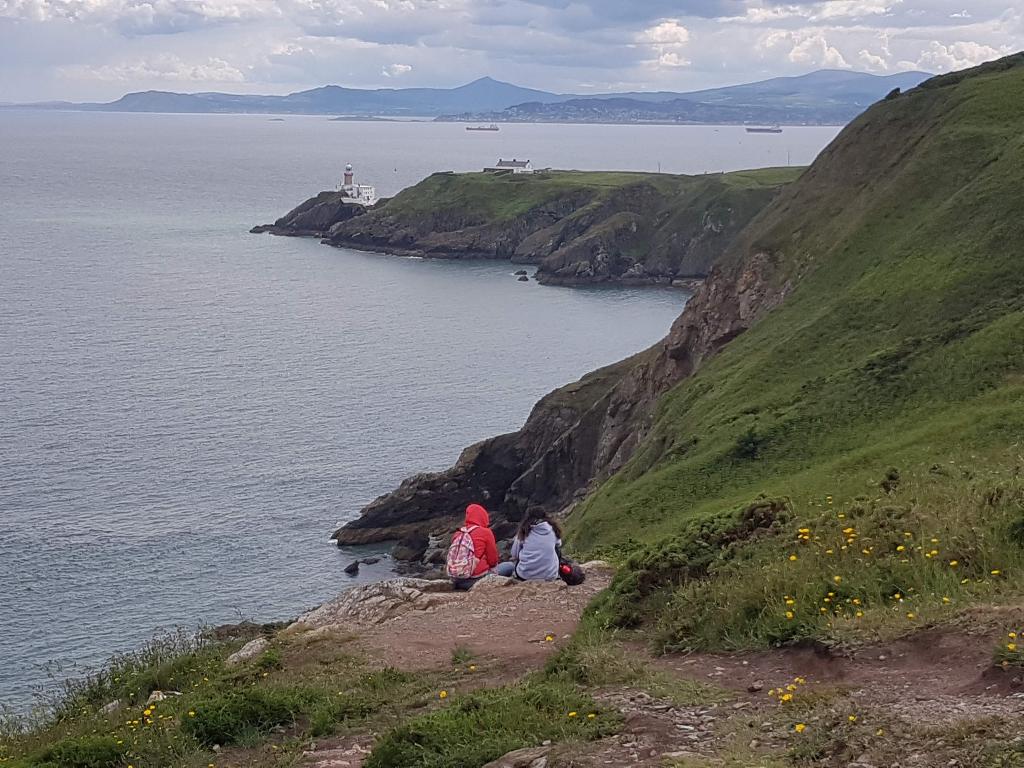
The cliffs hold one of Ireland's largest seabird colonies — kittiwakes, guillemots and razorbills — with grey seals often seen offshore and, on clear days, Lambay Island, Ireland's Eye and the Wicklow Mountains in view.
Nothing is sold on the trail itself, so refuel back in the village: Beshoff's is the go-to for fish and chips, The Bloody Stream serves traditional Irish fare, and Howth Market runs at weekends.
The walk passes small beaches including Balscadden Bay and Red Rock, and you can add a ferry from the West Pier to bird-rich Ireland's Eye or a cliff cruise around the head.
Load the interactive map to explore this place location.