12 O'Clock Hills

12 O'Clock Hills
4.8 (506)
12 O'Clock Hills photo 1
12 O'Clock Hills photo 2
12 O'Clock Hills photo 3
See all
12 O'Clock Hills photo 4
See all

About

A 309m twin-peaked hill in East Clare, threaded by waymarked walking trails and crowned by a compass-sundial, with wide views across Munster on a clear day.

Things to Do

Blue Trail summit hike

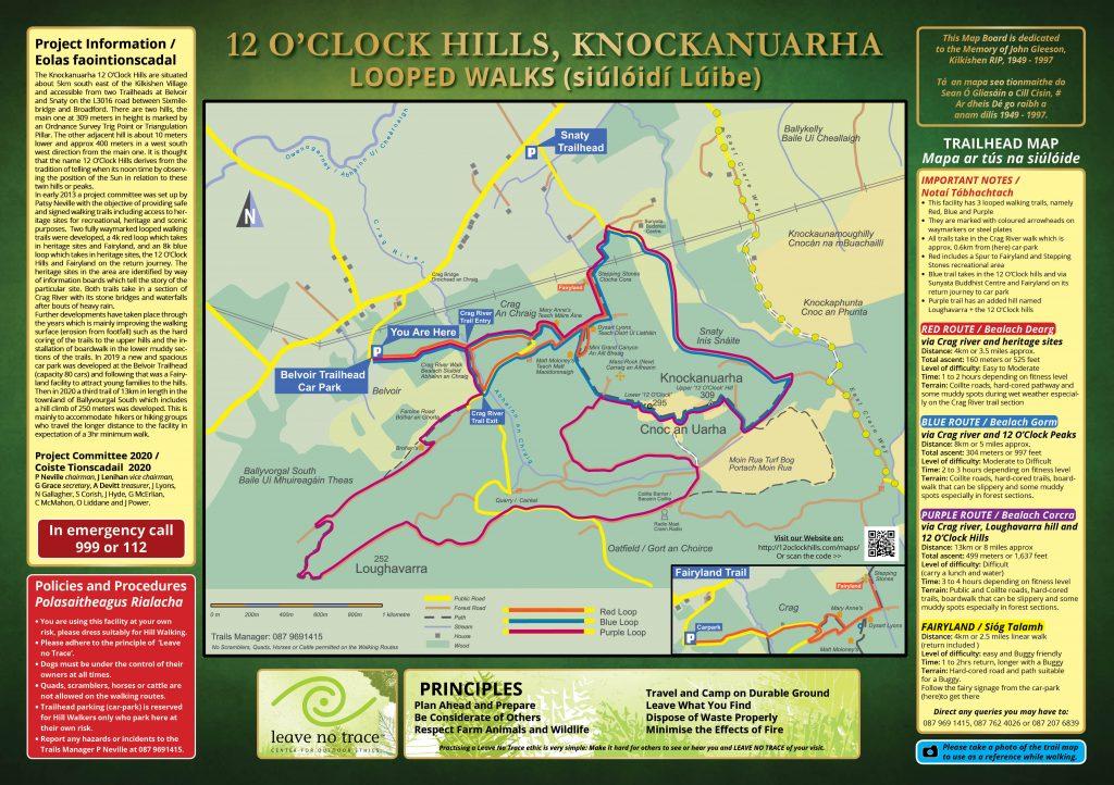
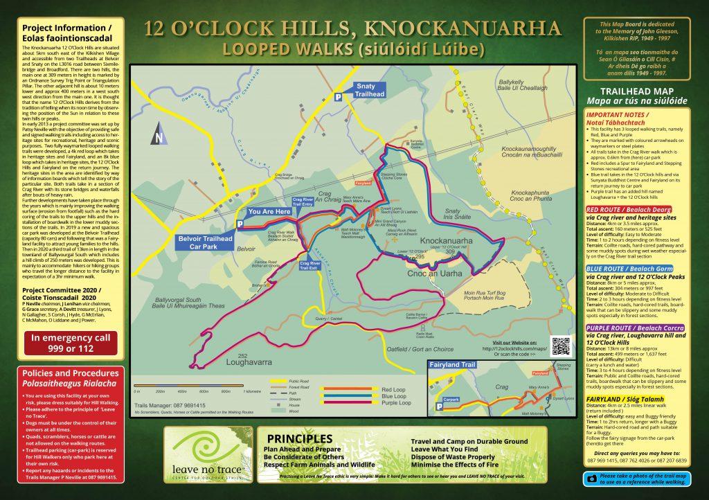
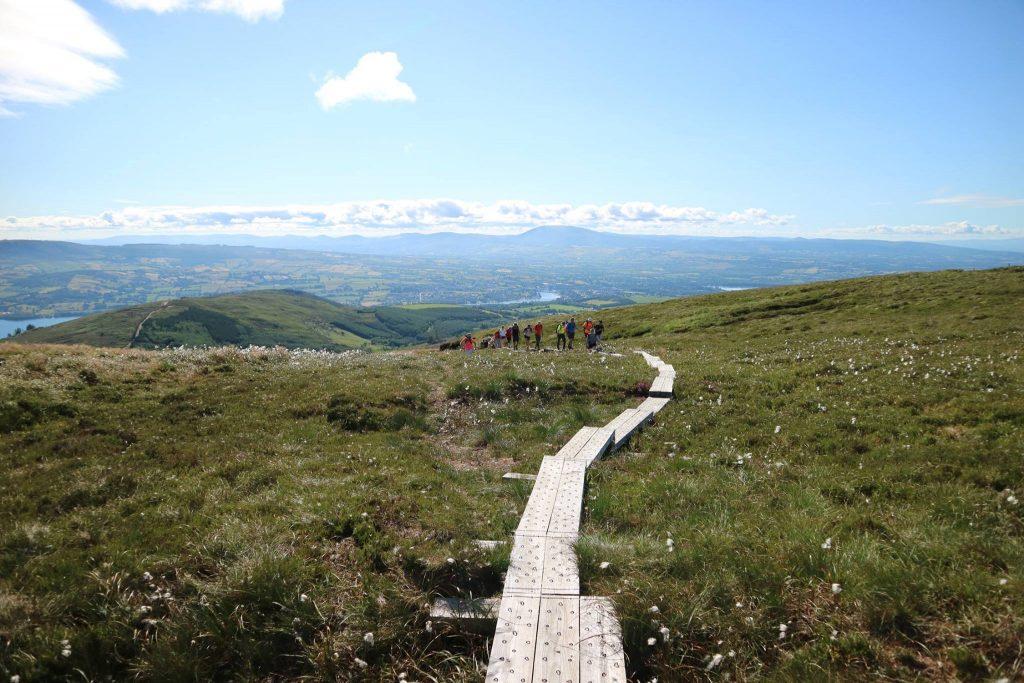
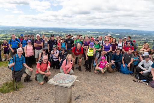
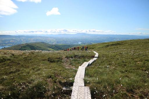
The 8.5km Blue Trail (Bealach Gorm) is the classic loop, climbing 304m over the twin 12 O'Clock peaks from the Crag River. Allow 2-3 hours; the going mixes Coillte roads, hard-cored trails and a boardwalk that can be slippery when wet.
Blue Trail summit hike

Purple Trail

A strenuous 13km loop (Bealach Corcra) that adds the 252m Loughavarra hill to the 309m 12 O'Clock summit for 499m of total ascent. Budget 3-4 hours and carry water and a snack.

Purple Trail

Red Trail heritage walk

A mostly flat 5km linear walk beside the Crag River past heritage sites and a mental-health kindness rocks trail, ending at Fairyland. Easy-to-moderate, 1-2 hours, with some muddy stretches after rain.

Red Trail heritage walk

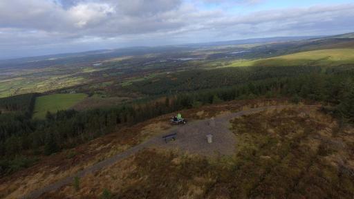
Panoramic views and the sundial

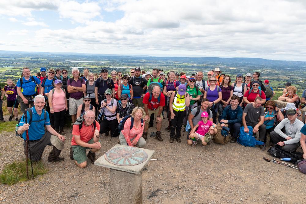
The summit carries an Ordnance Survey trig pillar plus a compass-sundial to help you identify landmarks. On a clear day you can pick out the Burren, the Shannon Estuary, Ennis and the high mountains of every Munster county.

Panoramic views and the sundial

Fairyland family walk

Follow the fairy signage from the car park on a 4km return walk to the Fairyland and Stepping Stones area. The hard-cored path is buggy friendly, taking 1-2 hours at an easy pace.

Heritage sites

The restored Crag River Bridge, the partly restored Mary Anne's stone cottage, ruins of Dysart Lyons and Brohan's homesteads, a famine road, Mion Rua bog, the Mass Place and the Stepping Stones all sit along the waymarked routes, explained by information boards.

Picnic at the trailhead

The elevated picnic area above the Belvoir car park is the natural spot for a post-walk snack, with the public toilets close by.

Plan Your Visit

  • Parking: Spacious car park at the Belvoir Trailhead (Eircode V95 YKN5), opened June 2019, laid out on two levels with room for at least 90 cars. Buses can be accommodated but must be booked in advance because of a height-restriction barrier; a €1-per-seat donation is requested for buses. The second, Snaty Trailhead has roadside parking for 16 cars and no toilet.
  • Food: No permanent café on site; the elevated picnic area at the Belvoir car park is the main place to eat. For pre-booked guided groups, food can be arranged by the Rustic Table.

Getting Around

Map

Watch More

See it on the map

Load the interactive map to explore this place location.

Nearby places